fAIr is an open AI-assisted mapping service developed by the Humanitarian OpenStreetMap Team (HOT) that brings local knowledge onto the map. It uses computer vision models to detect objects in satellite and drone imagery, which helps mappers work faster and more accurately for humanitarian purposes. Local mappers train AI models for their own region and correct what the models miss. Each correction feeds back into the model, so it keeps improving with every edit.
HeiGIT is developing three open deep learning models for fAIr. The models turn aerial imagery and OpenStreetMap data into information that supports waste management, road infrastructure planning, and targeted mosquito control. By making them openly available, we want to support municipalities, local mapping communities, and other practitioners in their work.
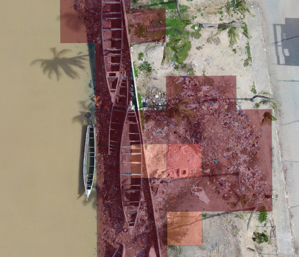
The YOLO Solid Waste Assessment on Grids (SWAG) detects solid waste piles from UAV imagery. The model can help identify hotspots and guide decisions about where to prioritize collection or cleanup. It is a pretrained YOLO26-cls model for semantic segmentation of solid waste piles in UAV (drone) imagery. The model classifies 5m x 5m grid cells as either “waste” or “background” based on polygon labels, enabling efficient waste detection in OpenAerialMap (OAM) scenes and other aerial datasets.
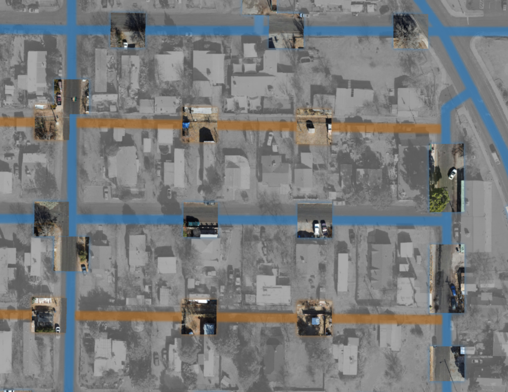
SUSformer (Surface from UAV Scenery) classifies OpenStreetMap roads as paved or unpaved using OpenAerialMap (OAM) imagery. Many roads in OpenStreetMap lack surface information, even though it matters for navigation and routing, especially after floods or heavy rains, when unpaved roads may become impassable. It is a fine-tuned DINOv3 ViT-S/16 model trained on 4,649 hand-labelled road segments from 124 globally distributed OAM scenes, mostly drone (UAV) imagery with some high-resolution satellite imagery. The model doesn’t detect roads itself. It takes existing road geometries, analyzes several image patches of about 15 m along each road, and combines them into one surface label per road, giving more weight to the clearest patches. It reaches about 96.5% balanced accuracy and stays reliable with fewer patches or moderately lower image resolution.
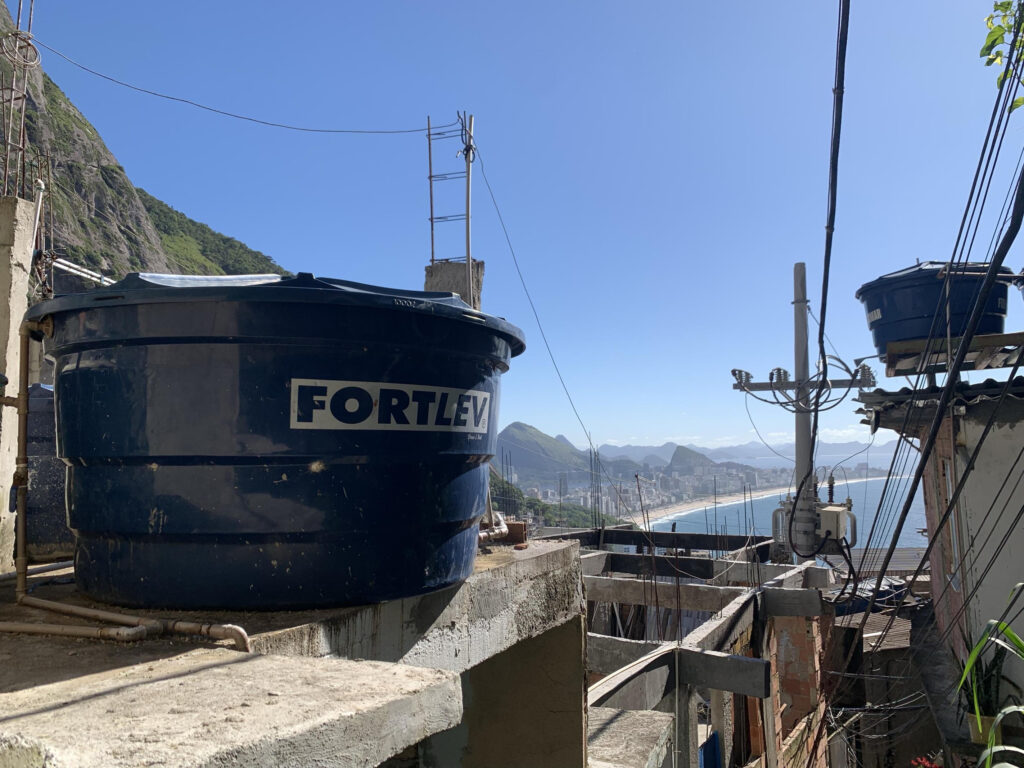
This model will detect objects that collect standing water and can serve as breeding sites for mosquitoes. Knowing where these sites are allows health authorities and local organizations to plan more targeted campaigns against disease-carrying mosquitoes. This model is currently in development.