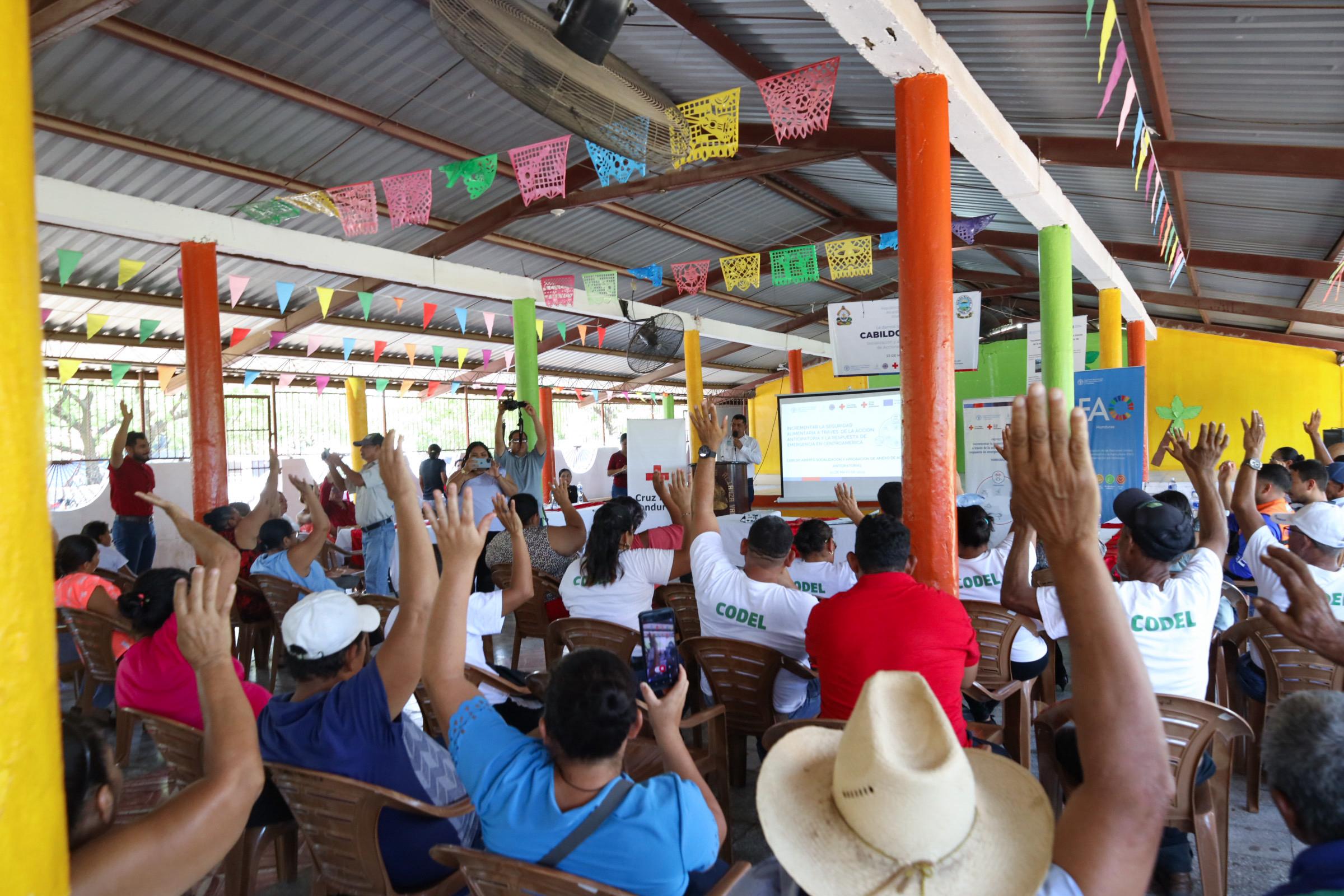
The Sketch Map Tool was used in a joint effort between the Honduran Red Cross and the municipal government to update the municipal response plan and develop an annex focused on anticipatory actions. Participants were asked to map local knowledge about areas affected by flooding and critical infrastructure.
The Sketch Map Tool was used during a one-day workshop held in the municipality of Alianza, in the department of Valle, Honduras. The activity was carried out at the request of the Honduran Red Cross, and as part of the GRC (German Red Cross) team, HeiGIT accompanied the workshop, introduced the tool, and worked alongside the National Society to support its implementation.
The main objective of the exercise was to collect community-level data on flood risk. Local participants from various towns used the Sketch Map Tool to identify and map flood-prone areas in their respective communities. This participatory mapping complemented existing data from Fathom’s flood models by incorporating local knowledge and observations.
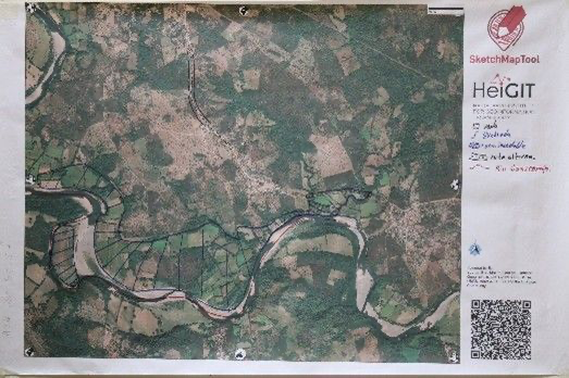
The digitized Sketch Map results were analysed in QGIS, with a focus on flood-related features. The flood-prone areas, identified by the community, were combined with Fathom’s flood simulation data to create a more comprehensive flood risk assessment by combining local knowledge with scientific modeling. Exposure, vulnerability and capacity maps were created using the INFORM method to support municipal response planning. Further analysis estimated the percentage of flood-prone land and population, enabling more targeted anticipatory action and improved emergency preparedness at the municipal level.
Participants were highly engaged, working in small groups, which encouraged focused discussions and balanced participation. Some orientation challenges came up, particularly for older participants. The experience emphasized the importance of using customized base maps with familiar landmarks to support better orientation.
More information about the Sketch Map Tool & the full case study: Sketch Map Tool


