
GeoAI4LandCOP

Mapping Land Degradation to Target Restoration in Mongolia's Rangelands

Overview

Mongolia’s rangelands are under pressure from climate change, livestock grazing, and urban expansion at the same time. Temperatures have risen at roughly three times the global average in recent decades. Precipitation patterns are shifting, and large areas of rangeland have moved from healthy to altered conditions. Pastoral communities depend on these landscapes for grazing, water access, and seasonal mobility.

The project maps the condition of the rangelands around Töv province and Ulaanbaatar, because it combines very high livestock pressure, rapid urban expansion, and severe climate impact in one region. We combined satellite data, deep learning, and spatial planning to show where restoration should be prioritized. The results also show where responsible solar, water harvesting, and roadside blue-green infrastructure can restore land while improving energy, water, and livelihood security.


Challenges

01

Global Land Cover Products Are Too Coarse

Existing global products do not resolve the gradients between steppe, dry steppe, barren land, and sand. Restoration cannot be prioritized if healthy rangeland cannot be distinguished from degraded land.

02

Greenness Tracks Rainfall

Vegetation greenness in Mongolia varies strongly from year to year because rainfall is low and variable. Using greenness alone would confuse a dry year with ecosystem decline.

03

Degradation Is Also Driven by People

Under the UNCCD framework, land degradation is an ecological process that is also driven by persistent human pressure. Grazing intensity and population density have to enter the analysis alongside ecological indicators.

04

Water Points Concentrate Grazing

Stakeholders reported that grazing concentrates around the few places where water is available. Those grasslands are consequently the ones under greatest stress.

Approach

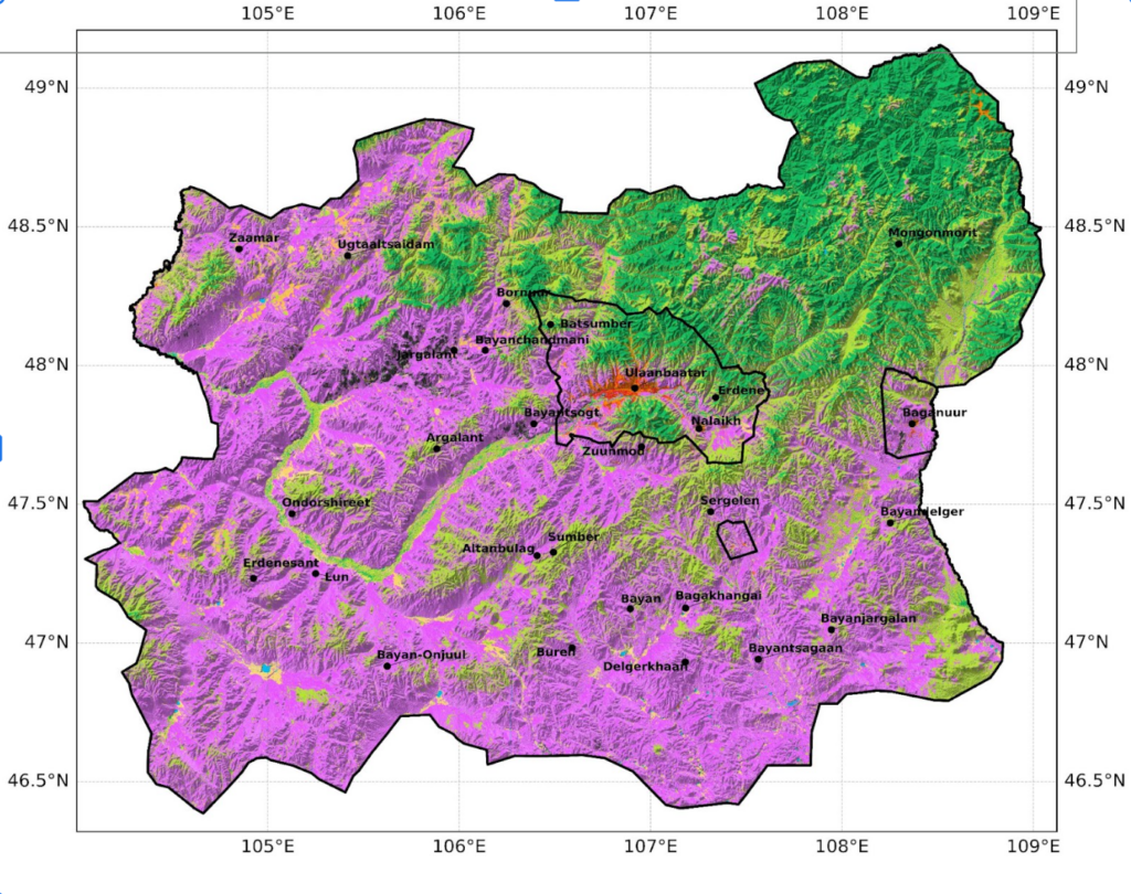
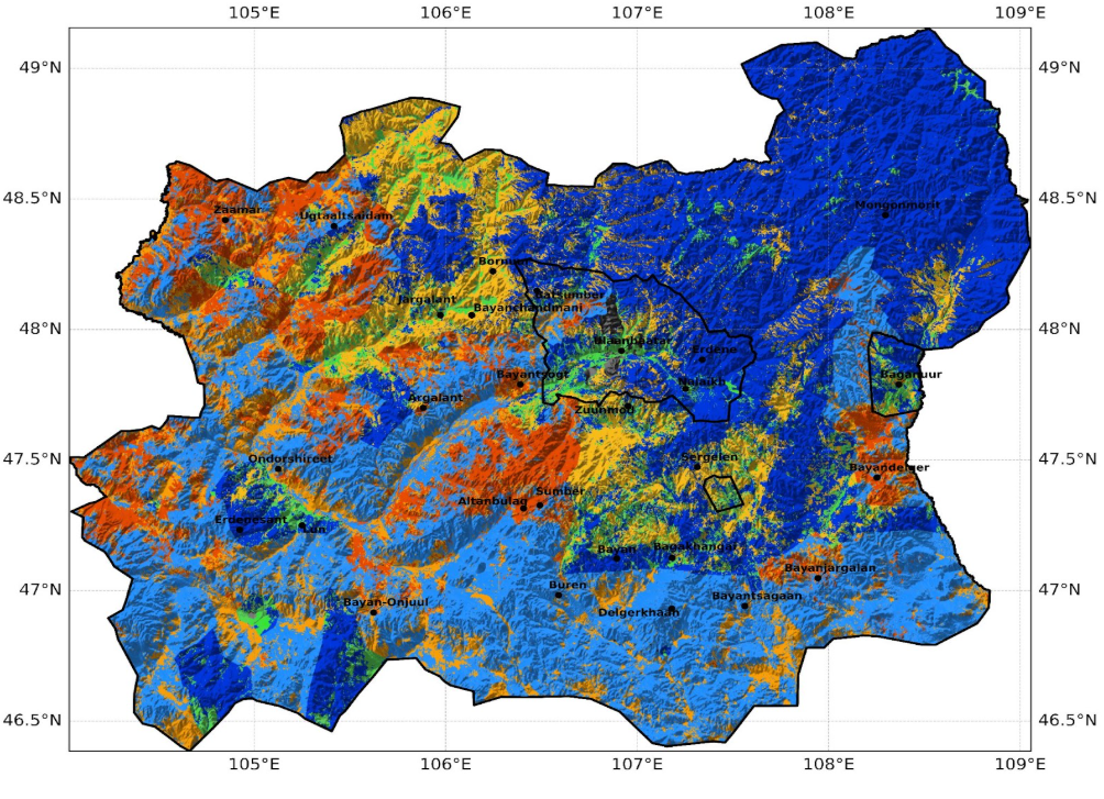
We combine multispectral satellite imagery with Google AlphaEarth embeddings, which are compact representations of environmental context learned from global Earth observation data. A custom deep learning model separates dry steppe, steppe, barren land, and sand. Every prediction carries a confidence estimate, and overall accuracy is around 80 percent.

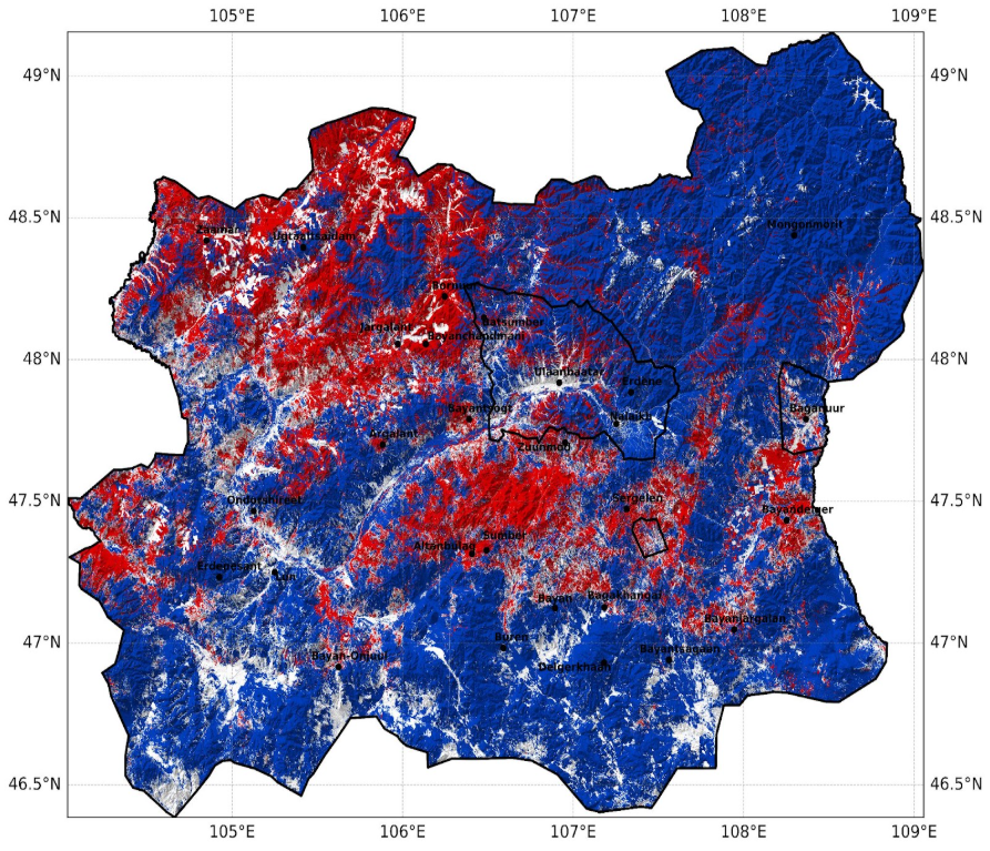
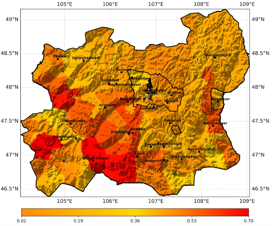
Rainfall Use Efficiency normalizes vegetation productivity by rainfall, describing how much growth the landscape produces for the water it receives. Persistent declines indicate ecosystem stress rather than a dry year. We analyzed six years of Earth observation data and classified the trends into declining, stable, and recovering areas.

The Social Pressure Index combines grazing intensity, how persistent that grazing pressure is over time, and population density as a proxy for longer-term human influence. The normalized index shows where pressure is sustained and where targeted management is likely to be most useful.

We merge the land cover map, the ecosystem trend layer, and the Social Pressure Index into a single set of Management Priority Action Zones. The zones show where restoration should be accelerated, where healthy ecosystems should be protected, and where management can maintain resilient landscapes.

The LiLa tool assesses unused land for its potential in solar energy, reforestation, and water management. We apply it in a three-step screening process that adds criteria at each step, so shortlisted areas are environmentally suitable as well as feasible to manage and implement.

Goals of the Project

Target Restoration

Direct restoration investment to the places where land condition, ecosystem trends, and human pressure indicate the greatest need.

Combined Land Uses

Treat restoration, water management, and renewable energy as interconnected land uses that can reinforce one another.

Supports Decision Making

Provide maps with confidence estimates so that land managers can see where the evidence is strong and where it is not.

Local Knowledge

Work with local stakeholders to interpret local challenges, understand herding practices, and access the data needed to keep the analysis grounded in real conditions.
Three Restoration Opportunities

Responsible solar

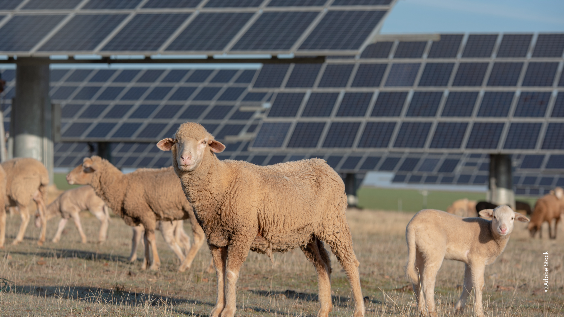
Co-locating solar with grazing allows dual use of the same land and more deliberate management of livestock numbers per unit area. Well-designed installations also raise soil moisture beneath the panels.
Off-road water ponds

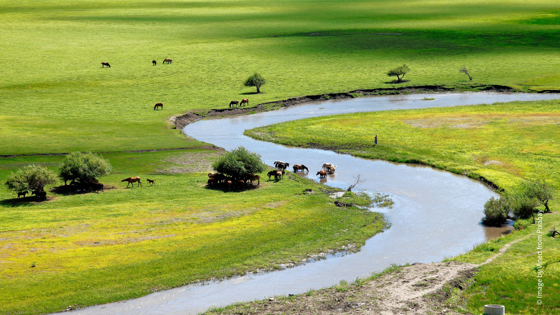
Small ponds on degraded land intercept runoff in micro-catchments, store water, and support vegetation recovery. They also draw grazing away from overused water points.
Roadside blue-green infrastructure

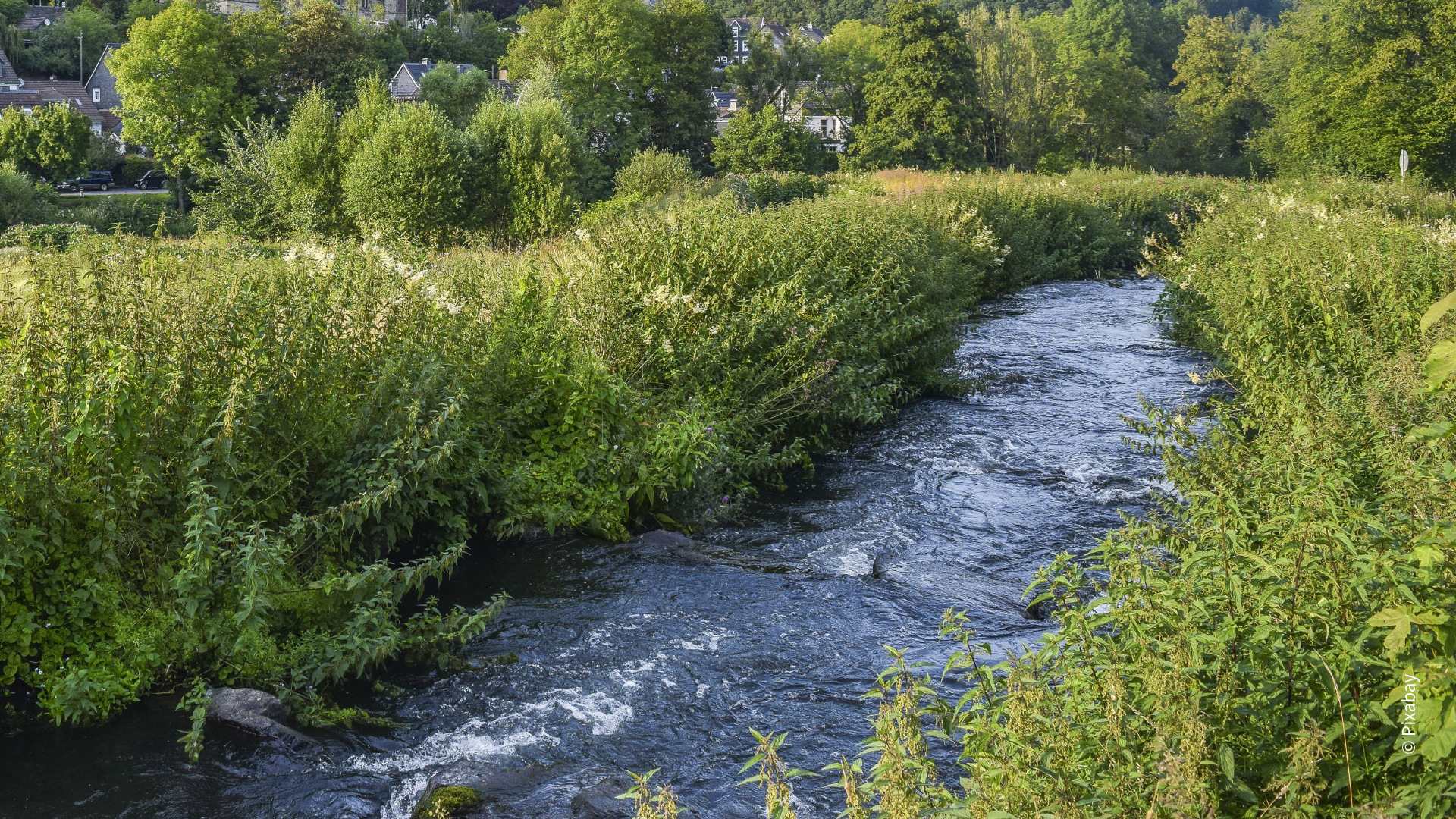
Road drainage currently accelerates runoff and erosion. Swales, small roadside ponds, check structures, and shrub belts turn road edges into infiltration and erosion control systems instead.


Partners

The project was led by HeiGIT in collaboration with Auroville Consulting.

Local stakeholders shaped the work throughout. They helped interpret local challenges, understand herding practices, and access the data needed to keep the analysis grounded in real conditions.

Funding

The project is funded by the G20 Global Land Initiative of the United Nations Convention to Combat Desertification.


Outcomes

The maps are openly available at: Mongolia Geospatial Map


We hope that these maps will be taken up by local communities, practitioners, and decision-makers, helping to transform landscape challenges into opportunities that deliver both ecological and economic benefits for the people of Mongolia.

Team