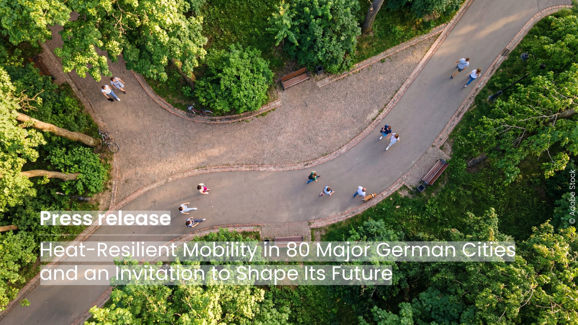
The new HeiGIT application shows how digital geodata can make cities more heat-resilient and is looking for partner cities that want to co-develop the routing further using their own data.
Heidelberg, 20 May 2026. When the sun beats down, open squares turn into heat traps. Pedestrians cross to the shaded side of the street or take the longer way through the park. HeiGIT (Heidelberg Institute for Geoinformation Technology) has built a routing application thatcalculates pedestrian routes based on high-resolution shadow data, steering people through shaded corridors and away from sun-exposed roads. Often, the recommendation matches the route people would instinctively choose anyway.
With the last three years being the hottest ever recorded globally, climate adaptation is no longer a future concern but a present public health challenge. Many cities are already building adaptation strategies, yet heat shapes mobility in ways that are often invisible to planners, like paths people take or avoid because some routes are constantly exposed to sun. Heat-avoiding routing gives city administrations a tool to identify where heat stress is highest and whether alternative paths exist.
“What started as a research question in Heidelberg has now grown into an operational heat-avoiding routing application. We are looking forward to fine-tuning it to the individual needs of different cities and building climate-adapted mobility based on their data,” said Julian Psotta, Product Owner for Technical Innovation at HeiGIT.
HeiGIT is looking to deepen that work through direct collaboration and turning the current approach into an integrative application that fits the individual needs of cities and communities. Cities that already have sensor or temperature data could have it integrated into the platform, producing routing and analysis that not only reflect shadow but also their local climate structure. Cities without existing data can contribute by defining what they need and, therefore, shaping the roadmap. There is no single entry point; the collaboration starts wherever a city is.
Heat-avoiding routing has its roots in Heidelberg, where the HEAL research project built the knowledge base and the first version of the application in direct collaboration with the city administration and with the active involvement of at-risk population groups. The first version incorporated sensors for local climate information, but the approach later shifted to a more scalable shadow modelling method. It was subsequently extended to the partner cities Worms, Walldorf, and Neckargemünd, proving that it could be adapted to different urban contexts and data environments. The current release scales that foundation across all 16 federal states.
HeiGIT’s goal is to make the consequences of urban heat on daily life visible and measurable. Heat-avoiding routing helps municipalities understand their heat risks and respond to them in a targeted way. We welcome enquiries and ideas for collaboration: heal[at]heigit.org
Everyone can test the application and see how their city is doing: https://shaded.openrouteservice.org/#/place/@13.075833320617678,52.40630035584302,13