The conference took place from September 12-15. The first day was dedicated to workshops and tutorials, while short and full papers, as well as posters were presented during the main part of the conference. Among others, the conference featured Nir’s short paper Project-Based Urban Dynamics: A Novel Method for Assessing Urban Sprawl as well as a paper co-authored by HeiGIT managing director Prof. Dr. Alexander Zipf titled Semi-Supervised Learning from Street-View Images and OpenStreetMap for Automatic Building Height Estimation.
On the first day of the conference, Adam and Christina hosted a worshop called Centrality Indicators in Road Network Analysis: from concept to implementation during which they presented a new python notebook which demonstrates how to calculate different centrality indicators using openrouteservice. The workshop sparked a fruitful discussions on topics like different centrality indicators within various geospatial applications (such as traffic, tourism, infrastructure optimization) and different software packages to calculate them.
Anne participated in the international workshop on mapping with communities which is part of the IDEAMAPS data ecosystem project. She held a keynote speech about the Sketch Map Tool and its role in mapping with communities. The Sketch Map Tool is designed to support the collection of local spatial knowledge with the help of OpenStreetMap as a base layer, combining different steps needed for sketch mapping, offering great support in different tasks and challenges of preparing and analysing participatory mapping (Click here for more information).
Presentations of several case studies from the field of participatory mapping were another part of the workshop, which were followed by a collaborative brainstorming session where participants discussed methods, challenges and solutions of community mapping. The main goal of the workshop “Mapping with Communities” is to become a regular event and to form a community engaging in the topic. The next workshop is currently planned to take place at AGILE 2024.
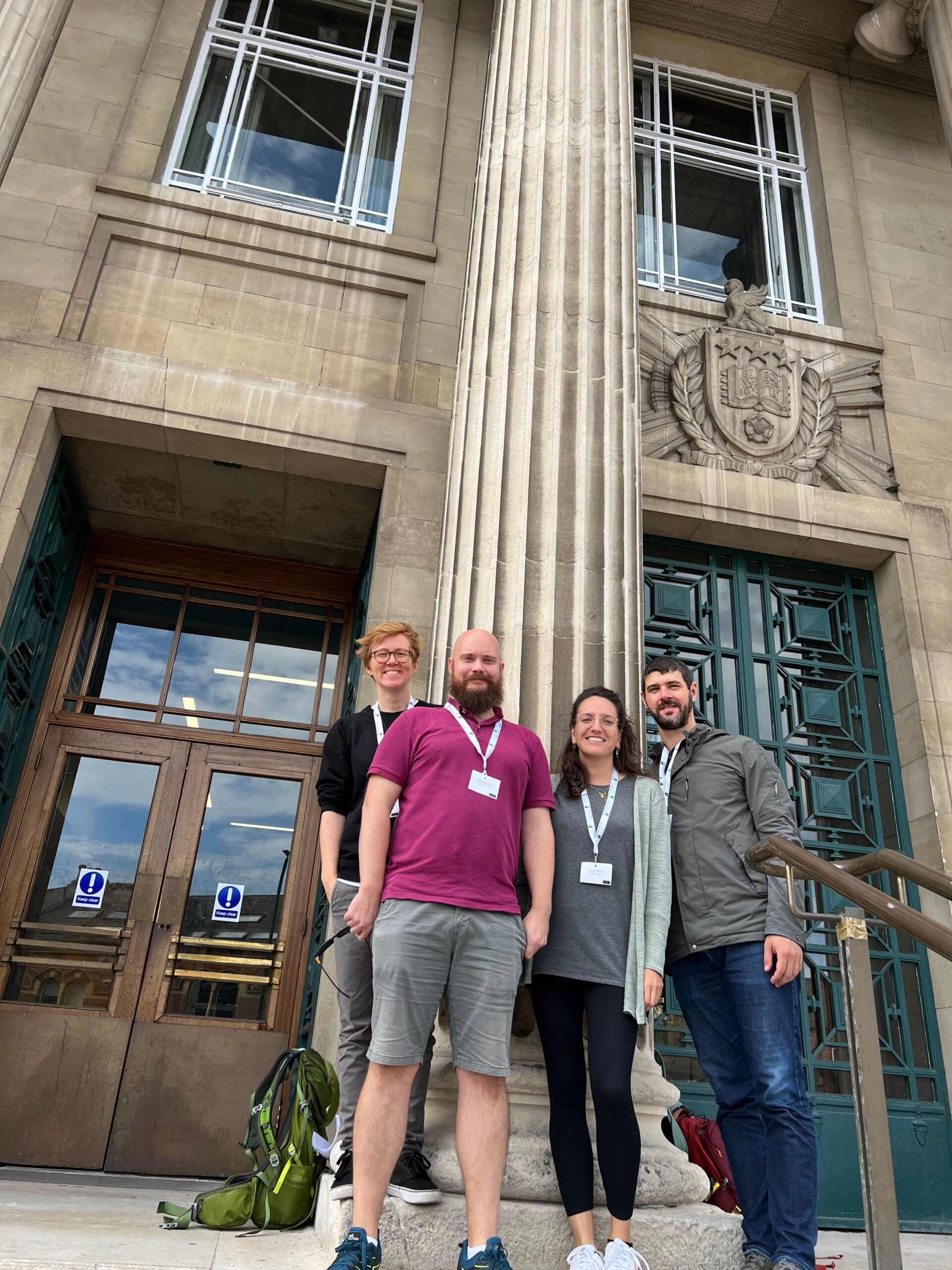
Finally, in the name of the team members representing HeiGIT and GIScience in Leeds, a big thank you and congratulations need to be given to the organisers of the conference (Lex Comber, Alison Heppenstall and Nick Malleson amongst others) for making this such a fun, insightful and well-organised conference.