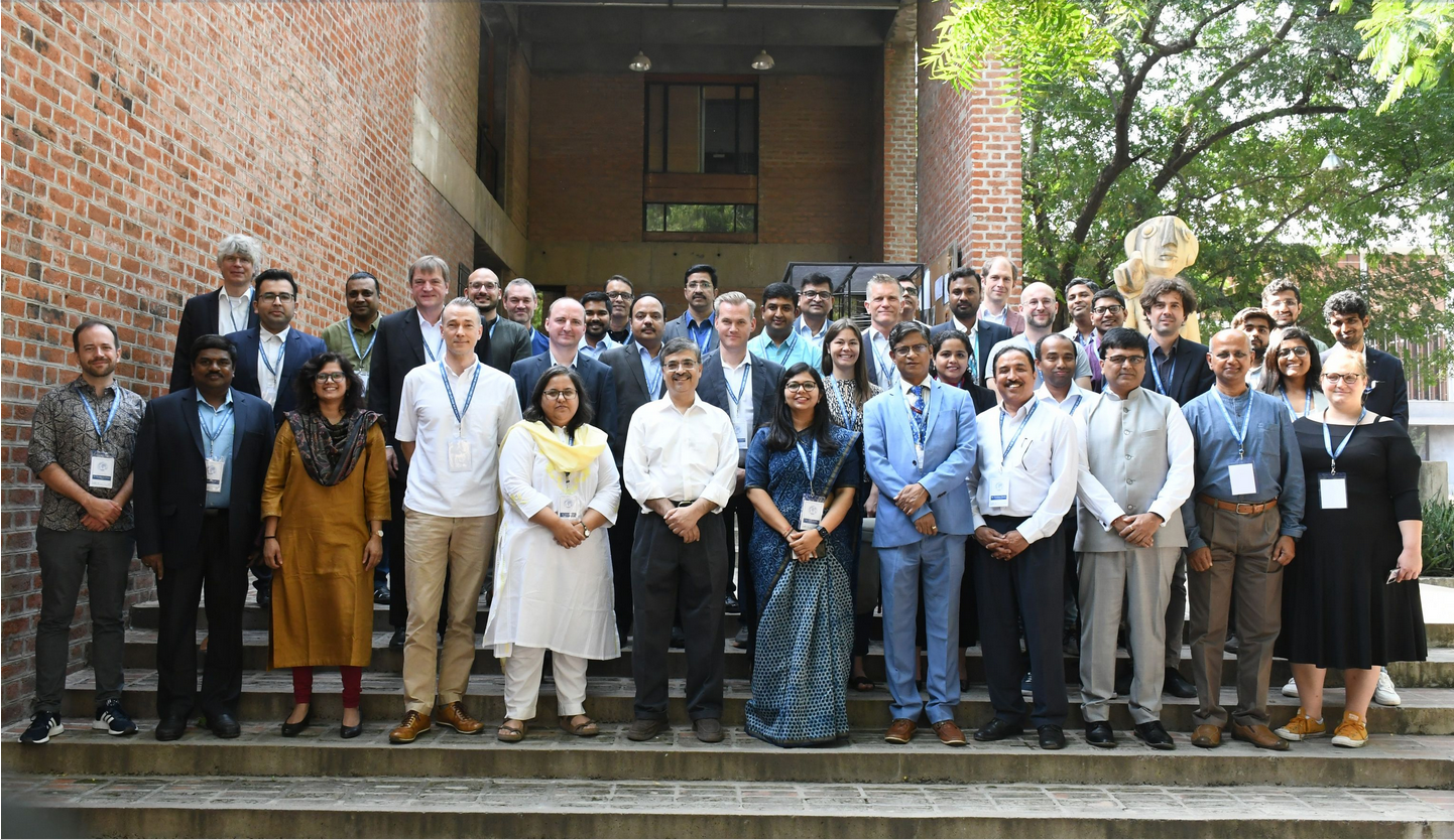
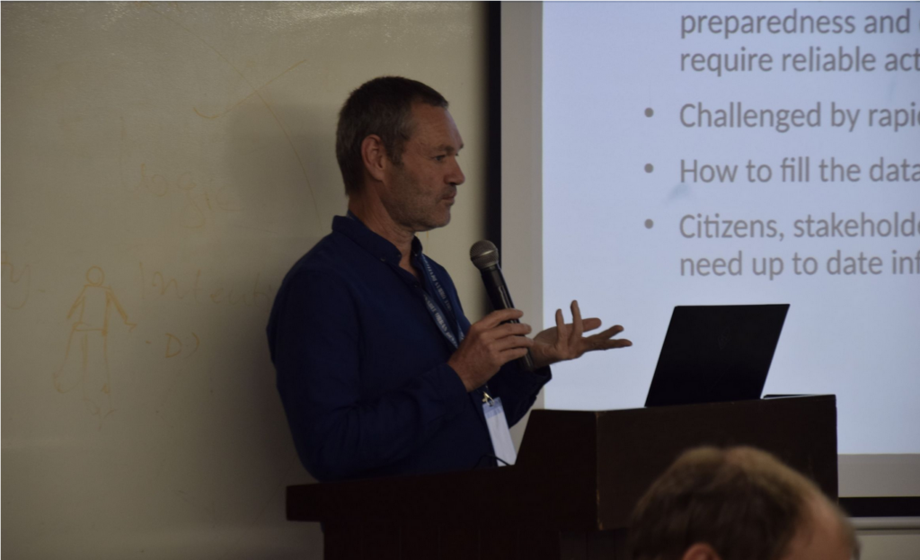
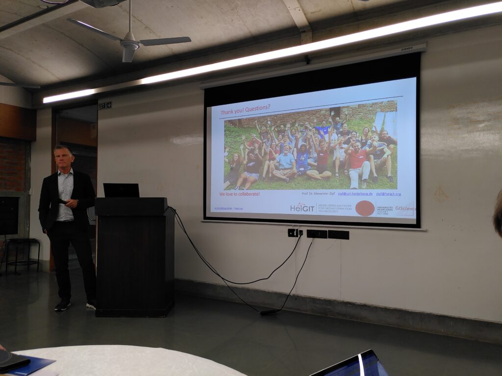
HeiGIT Scientific and Managing Director Prof. Dr. Alexander Zipf and HeiGIT Chief Scientist Adj. Prof Dr. Seven Lautenbach attended the 4th International Land Use Symposium at CEPT University in Ahmedabad, India. The symposium was held from 4th – 6th October 2023 under the main theme “Urban Analytics for Transforming Cities and Regions: Tools, Methods and Application”.
The symposium highlighted research on data infrastructures and data processing methods reflecting the ever increasing availability of (open) geodata. It aimed especially to advance knowledge on urban dynamics towards more sustainability in the Global South and Global North. Presentations covered spatial data infrastructures, remote sensing applications, modelling and citizen science applications. A thematic focus was on the improved understanding of the processes involved in rapid urban growth, densification or suburbanisation as well as on the handling of natural disasters such as floods and heat waves. Sven presented the HEAL project as an example of climate change adaptation while Alex presented an overview of recent research activities at HeiGIT and the GIScience chair.
Alex and Sven both also participated in the Indo-German Workshop on Open Spatial Data Infrastructure for Sustainable Urban Development. Composed of data, hardware and software, Spatial Data Infrastructures (SDIs) are platforms to make data, maps, services and other digital resources easily accessible for users. This means that SDIs are not only a result of increasingly available geodata, but also another beneficial factor in generating and distributing geodata. Specific SDIs can cover different geographical levels, providing, for example, city level, national level, continental- or global level data. But SDIs can also cover specific domains such as disaster response, public health and climate change. The HeiGIT Disaster Portal, the Open Healthcare Access Map and the Global Climate Protection Map are examples of such SDIs.
During his first talk, Alex presented the main topic “Spatial Data Infratructure and Technology” as an introduction to upcoming topics, such as SDIs in Germany and India, Open-Source Technology for SDIs, and The IOER (Leibniz Institute of Ecological Urban and Regional Development) approach for land use monitoring. At a later point of the workshop, Alex also spoke about Open Spatial Data for Urban Management and Risk Analysis, a topic corresponding to the main theme “Spatial Data Management and Access for Research and Planning”. In context of a different main theme, namely “Urban Resilience and Growth management”, Sven spoke about City Resilience and Disaster Management Strategies to manage urban growth.
In summary, both the workshop and the symposium were great occasions to initiate future cooperative work and mutual learning experiences. Even though India and Germany face different needs and challenges, the scientific communities of both countries make use of similar methods in certain fields. The work of both scientific communities concerns the consequences of climate change, such as floodings and heatwaves. Other mutual fields of work are remote sensing, GeoAI and mobility. The different conditions and needs of both countries become especially evident in the latter field. OpenStreetMap (OSM), for example, does not have the same status in India as it has in Germany, which is due to the differences in data quality and availability. Despite the relatively small OSM community in India, there is a growing interest in OSM and OSM based service like Disaster ORS and the Disaster Portal, as the symposium and the workshop have shown.