The German Red Cross (GRC) has been working with the Heidelberg Institute for Geoinformation Technology (HeiGIT gGmbH) and the German Aerospace Center (DLR) for several years to bridge the gap between research and practice by identifying needs and developing technological innovations in a targeted manner. The principle of open-source data and applications ensures sustainable implementation within the various projects. The results of the cooperation should, among other things, help to simplify processes and make decision-making faster and more fact-based.
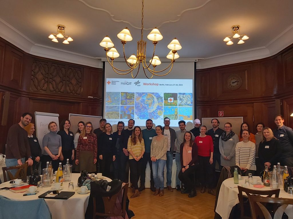
On February 27th and 28th, GRC organized a workshop with the intention to bring HeiGIT and DLR closer together with the teams from the various countries (country officers, delegations, National Societies, and GRC unit staff), to promote communication and to identify concrete project and action points. HeiGIT and DLR had the chance to present the possibilities that open geoinformation, open crowdsourced geodata, and earth observation offer to support GRC tasks.
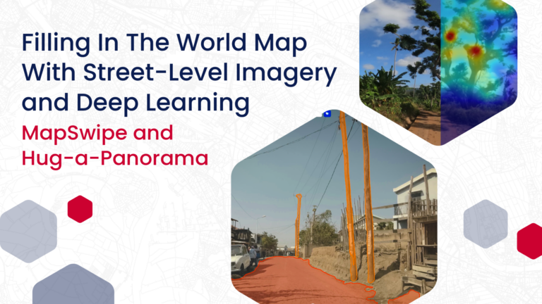
One example is the development and implementation of new applications to collect information on the ground as well as remotely in a more targeted and digital way for better subsequent analysis and processing. This can be used in project planning and for the creation of scenarios, but also in emergency response. The digital processing and combination of data, in a user-friendly application, helps even non-technical people find answers and communicate results.
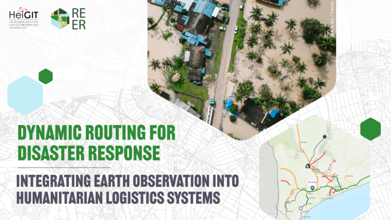
In direct exchange with the project team, it was made clear how new technologies and methodological approaches and developments from current research can be used. This ranges from the simple digitalization of a process, such as the collection of data, to the use of artificial intelligence and the analysis of satellite images. Depending on the context, different questions can be answered: With no access to a location, what does the current situation look like? Where do the most vulnerable population people live? Which areas are most affected in the event of a flood and what measures need to be taken then? Which buildings are damaged and how badly after an earthquake? Which areas have no access to health facilities? How quickly can viral diseases spread in a country and what can be the consequences? How does route planning and thus (emergency) care change when certain roads and bridges cannot be utilized?
In an open World Cafe setting, the projects of GRC and the national sister societies were highlighted and intensively discussed in order to identify potentials and possible applications and services of HeiGIT and DLR to support GRC tasks. The topics of Disaster Risk Reduction (DRR), Anticipation, Health, Urban Context, Surge, Strengthening National Societies and Capacity Building were of particular interest. GRC challenges and requirements were identified in order to guide further developments and efforts on DLR and HeiGIT’s side.
Examples of the HeiGIT/GRC cooperation that have already been implemented include the methodological and technical support of national sister societies and the targeted, demand-based further development of the Sketch Map Tool, an application for the paper-based collection of local spatial knowledge and automatic upload of collected features in digital versions in a geoinformation system (GIS) and similar systems.
We want to thank all the participants for the fruitful discussions and are looking forward to future continuous cooperation in order to guide our efforts and research to make real world impact.