The HeiGIT team recently secured the top position in the third edition of the Open Source Software for Sustainable Development Goals (OSS4SDG) hackathon. These hackathons are based on the 17 Sustainable Development Goals (SDGs) of the UN. The participants were tasked to take on one of seven challenges, each with the goal to develop and work with open source solutions that can be used to advance the realization of SDGs. This year’s focus on SDG 5, Gender Equality, prompted our team to tackle Challenge #4: Developing a Collaborative Walking-Safety Map. The result? SaferRoute, an app designed to provide individuals with the means to make informed decisions about their routes in urban areas and to optimize their routes in terms of safety.
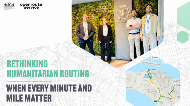
Our winning team comprised Maximiliane Kitzinger and Valentin Böhmer, both Student Research Assistants, Charles Hatfield, a PhD Candidate, and Marcel Reinmuth, a Research Associate. Together, they combined their expertise to create a solution that stood out in a field of impressive submissions.
Challenge and Approach:
The team faced the challenge of developing a collaborative walking-safety map. Safety is very subjective and influenced by diverse factors like personal experience and identity. People who have already experienced one or more forms of discrimination, such as misogyny, racism, ableism or homophobia are often affected by violence. Therefore, the team aimed to create an app that offers safe pathways, ensuring that individuals affected by discrimination feel a sense of security.
SaferRoute tracks walking paths, builds a collaborative safety map and innovates by providing navigation features that prioritize safety for all those who are patriarchally discriminated because of their gender identity. One specific aspect that has been a focal point in safety discussions is the illumination if public spaces, which is why the team solely focused on illumination density as a safety factor.
SaferRoute not only met but exceeded the expectations by integrating data from various sources to assess the safety of different road segments and paths.
SaferRoute employs a scoring system to evaluate road segments:
- User Safety Score: Calculated as the average of all user safety ratings for a segment, fostering a collaborative consensus on safety and comfort.
- Brightness Score: Based on the density of street lamps per road segment relative to others of the same OSM highway type. This percentile-based score reflects relative brightness, aiding users in assessing the luminance of a route.
Technical Details:
- Data Sources: The brightness score utilizes data from OpenStreetMap (OSM), Mapillary, and open data commons published by cities.
- Routing Engine: For routing, the team used our in-house routing engine, openrouteservice (ORS). ORS was developed by HeiGIT with the goal to make global OSM routing possible and offers several routing services based on free open data. Here, ORS was employed to produce a pedestrian profile routing graph.
- Proof of Concept: The proof of concept was developed into an R Shiny app, providing a user-friendly interface for individuals to access and interact with the safety and brightness assessments.
Future:
As previously noted, various factors can influence safety. Our team is eager to persist in refining this application incrementally, contributing to a heightened sense of safety for everyone on our roads.
Sponsors:
The OSS4SDG hackathon was made possible through the joint collaboration of the EC Directorate-General for Informatics, UN Office of Information Communications and Technology, ITU EQUALS and POP.


