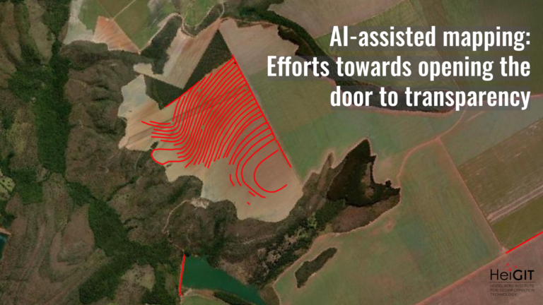
The Study: Monitoring Arctic Permafrost – Examining the Contribution of Volunteered Geographic Information to Mapping Ice-Wedge Polygons
The study, authored by Pauline Walz, Oliver Fritz, Sabrina Marx, Marlin M. Mueller, Christian Thiel, Josefine Lenz, Soraya Kaiser, Roxanne Frappier, Alexander Zipf, and Moritz Langer, investigates the effectiveness of Volunteered Geographic Information (VGI) for mapping ice-wedge polygons in Arctic permafrost regions. The primary research question explores whether data collected by volunteers, using a web-based mapping application, can reliably identify and reconstruct ice-wedge polygon networks compared to expert-generated datasets.
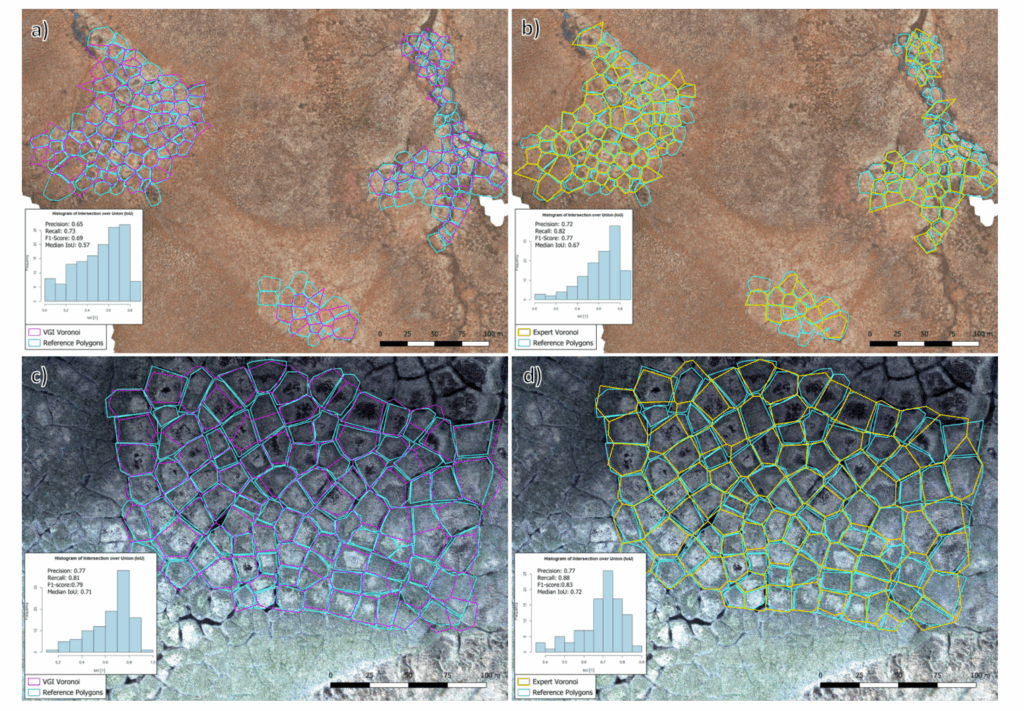
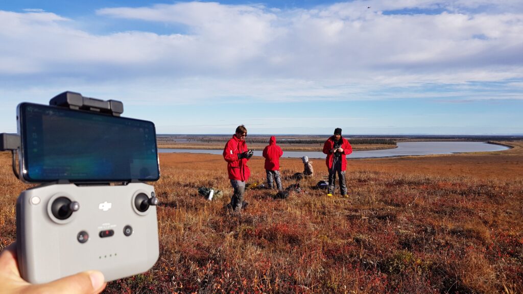
The study involved two case regions: Cape Blossom in Alaska and Blueberry Hills in Canada. 105 volunteer contributors participated in organized mapping events to map permafrost, The volunteers used an app to identify polygon centroids in high-resolution aerial imagery, part of which had previously been acquired with the help of local school students. The researchers then assessed the quality of volunteer contributions by comparing completeness and positional accuracy metrics against expert mappings. Using Voronoi diagrams, the study reconstructed ice-wedge polygon networks from the crowd-sourced centroid data, enabling the extraction of important geomorphological (e.g., polygon area, perimeter) and hydrological (e.g., network topology, betweenness centrality) parameters.
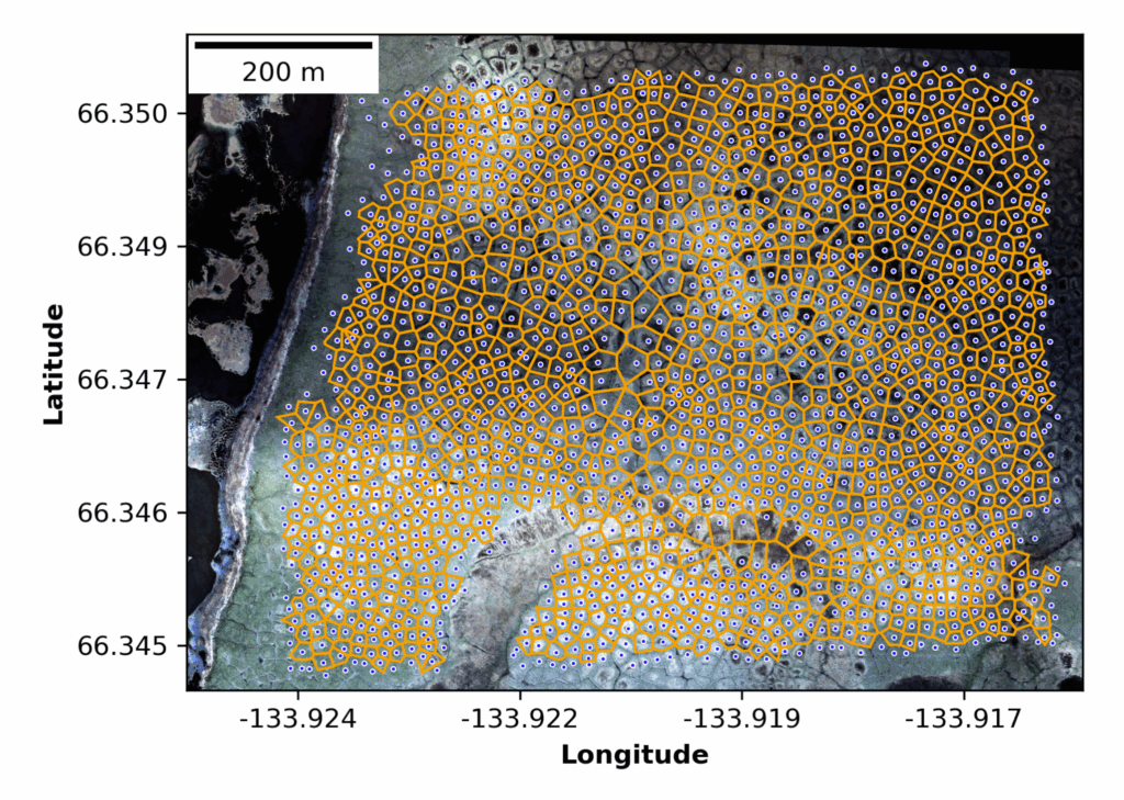
The volunteer-derived networks closely matched expert data, though some deviations occurred, particularly in areas with complex, heterogeneous landscapes where polygon morphology is less regular. Results revealed that volunteer data achieved high completeness (88.74% in Cape Blossom and 70.81% in Blueberry Hills) and positional accuracy with median deviations of 1.29 m and 1.38 m respectively, demonstrating the capability of non-experts to contribute valuable spatial data. Analysis indicated that around five volunteers per polygon were needed to provide sufficient data reliability.
The study concludes that VGI offers an efficient, scalable approach to Arctic permafrost monitoring, supporting detailed landscape analysis and complementing automated or expert-driven methods, especially when high-resolution elevation data is unavailable. The findings underscore the potential of citizen science in advancing environmental monitoring while highlighting the need for optimized task assignment and volunteer training to maximize data quality.
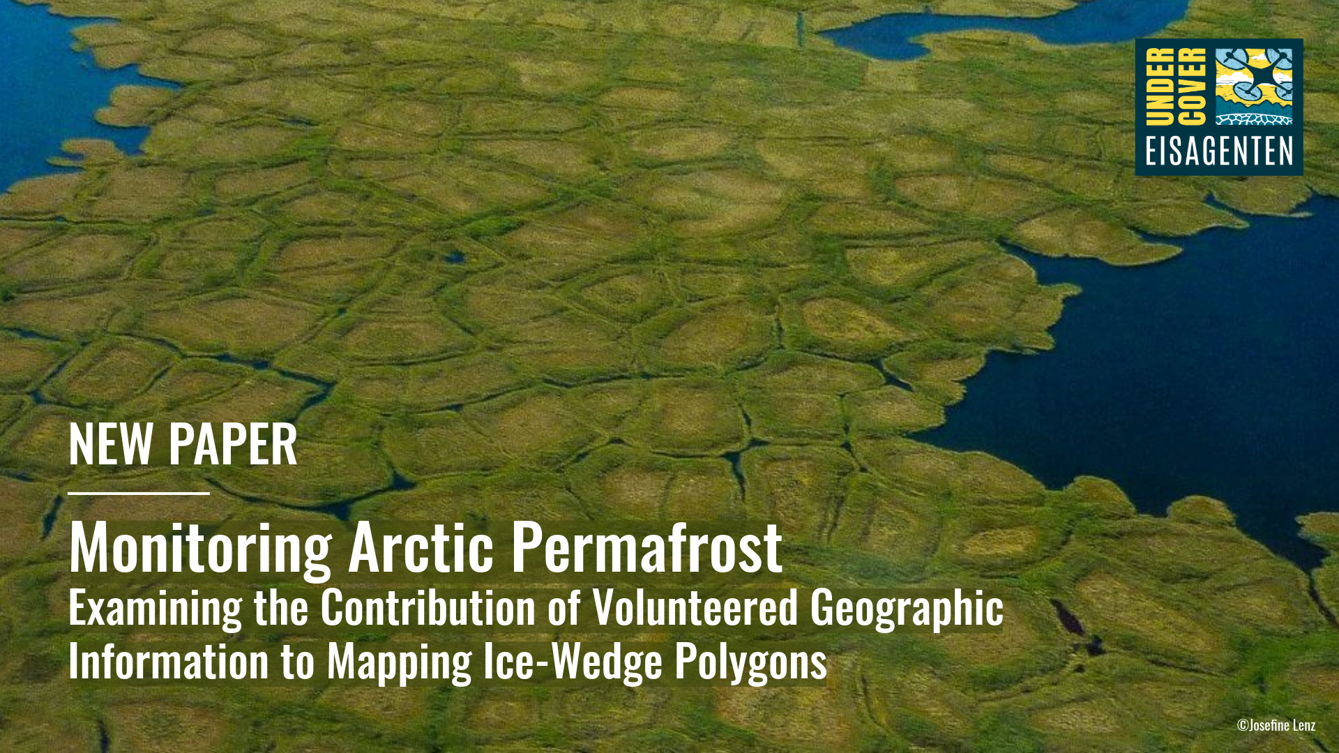
The UndercoverEisAgenten Project
The UndercoverEisAgenten project was initiated in 2021 as a collaborative initiative between HeiGIT, the German Aerospace Center (DLR), and the Alfred Wegener Institute (AWI), with funding by the German Federal Ministry of Education and Research. Its goal was to integrate citizen science into Arctic climate research by involving students and volunteers in mapping permafrost degradation. Through web-based tools and educational outreach, school students helped identify ice-wedge polygon structures across Arctic landscapes. This approach aimed to both expand scientific data collection and foster environmental awareness among young people. The project bridged climate science and education, leveraging volunteered data to generate insights into climate change and its implications for permafrost landscapes.
As the UndercoverEisAgenten project reaches its official closure, we extend sincere thanks to all project partners and participants for their contribution to this citizen science initiative, which has demonstrated the feasibility and value of VGI in permafrost research. Looking ahead, we are looking forward to build on these outcomes through further collaborations and research in VGI-based environmental monitoring.
Reference
Walz, P., Fritz, O., Marx, S., Mueller, M. M., Thiel, C., Lenz, J., Kaiser, S., Frappier, R., Zipf, A., and Langer, M. (2025). Monitoring Arctic Permafrost – Examining the Contribution of Volunteered Geographic Information to Mapping Ice-Wedge Polygons, Monitoring Arctic permafrost – examining the contribution of volunteered geographic information to mapping ice-wedge polygons