Supplying medicine and food is critical not only in disasters. Due to increased global demand due to COVIDー19 HeiGIT increased the API quota for the Openrouteservice multi vehicle route optimization endpoint! Now you can send up to 500 requests per day for each account for free. If you are in need for even higher problem sizes please contact us.
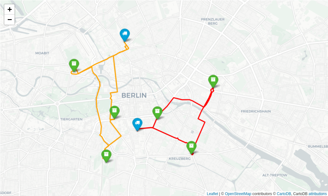
The optimize endpoint of Openrouteservice is based on the Vroom engine, which is capable of solving complex Vehicle Routing Problems (VRP) in record time. This type of problem always occurs when multiple locations need to be visited in the optimal order by one or more vehicles. Consequently, it’s most valuable for logistics planning, but is also useful for traveling sales persons (which actually is the name of a particular VRP). Using that job and vehicle scheduling is a breeze. Openrouteservice uses current OpenStreetMap data for the whole globe.
The optimization service supports advanced parameters to constrain the optimization, such as:
- capacities: each
vehiclecan have separate capacities for multiple goods, eachjobwill consume a vehicle’s capacity - time windows: each
vehiclecan have a start and end time (e.g. working hours or opening hours of a supermarket), eachjobcan have multiple time windows, expressed as week seconds, e.g. Mon 8 am = 28800 - skills: each
jobcan require skills thevehiclemust meet - service duration: each job can take a specified amount of time
Below you find already a Jupyter notebook solving a disaster management logistics scenario in Python:
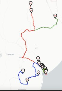
In that Jupyter notebook example we look at a typical humanitarian scenario of distributing medical goods during disaster response following one of the worst tropical cyclones ever been recorded in Africa: Cyclone Idai. In this scenario, a humanitarian organization shipped much needed medical goods to Beira, Mozambique, which were then dispatched to local vehicles to be delivered across the region. The supplies included vaccinations and medications for water-borne diseases such as Malaria and Cholera, so distribution efficiency was critical to contain disastrous epidemics. In total 20 sites were identified in need of the medical supplies, while 3 vehicles were scheduled for delivery. See here for the Jupyter code example of this example scenario:
https://openrouteservice.org/disaster-optimization/
This adds to the list of the free and open source ORS API features , which are all relevant for humanitarian and disaster logistics including
- routing with directions for all different kinds of bicycle profiles, pedestrian, wheelchair, car and heavy vehicle
- time-distance matrices
- geocoding and reverse geocoding
- isochrones for reachability applications
- points of interest
- elevation information for points and or linestrings
- maps

