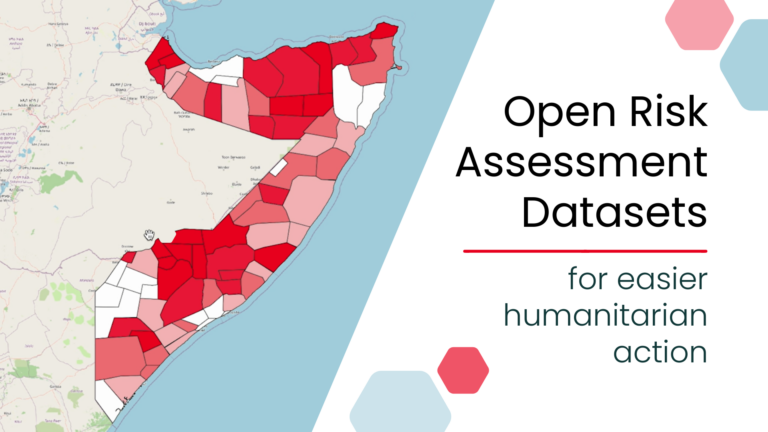
As part of our ongoing work in Anticipatory Action, a QGIS plugin for risk assessments was developed with the goal of enabling local actors to carry out risk assessments independently and reliably. The tool builds on HeiGIT’s broader efforts to support community resilience by making geoinformation technology more accessible to practitioners in diverse operational contexts.
To support this process, we have designed a flexible risk assessment workflow applicable across different disaster types and geographies. By implementing this workflow as a QGIS plugin, we aim to simplify its application and improve usability. The plugin allows users to input relevant indicators and automatically generates risk scores, helping identify priority areas for early action in a transparent and repeatable way.
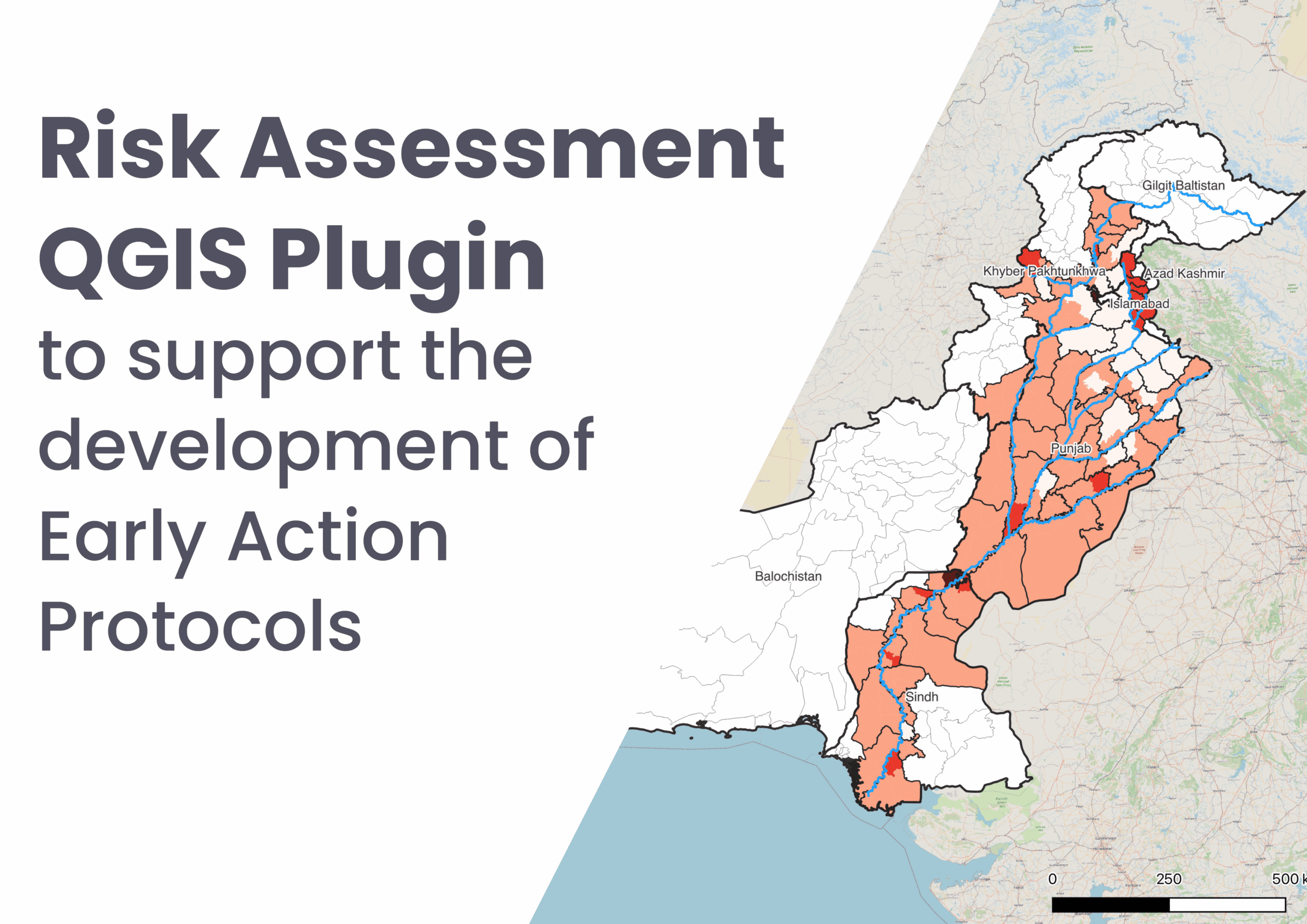
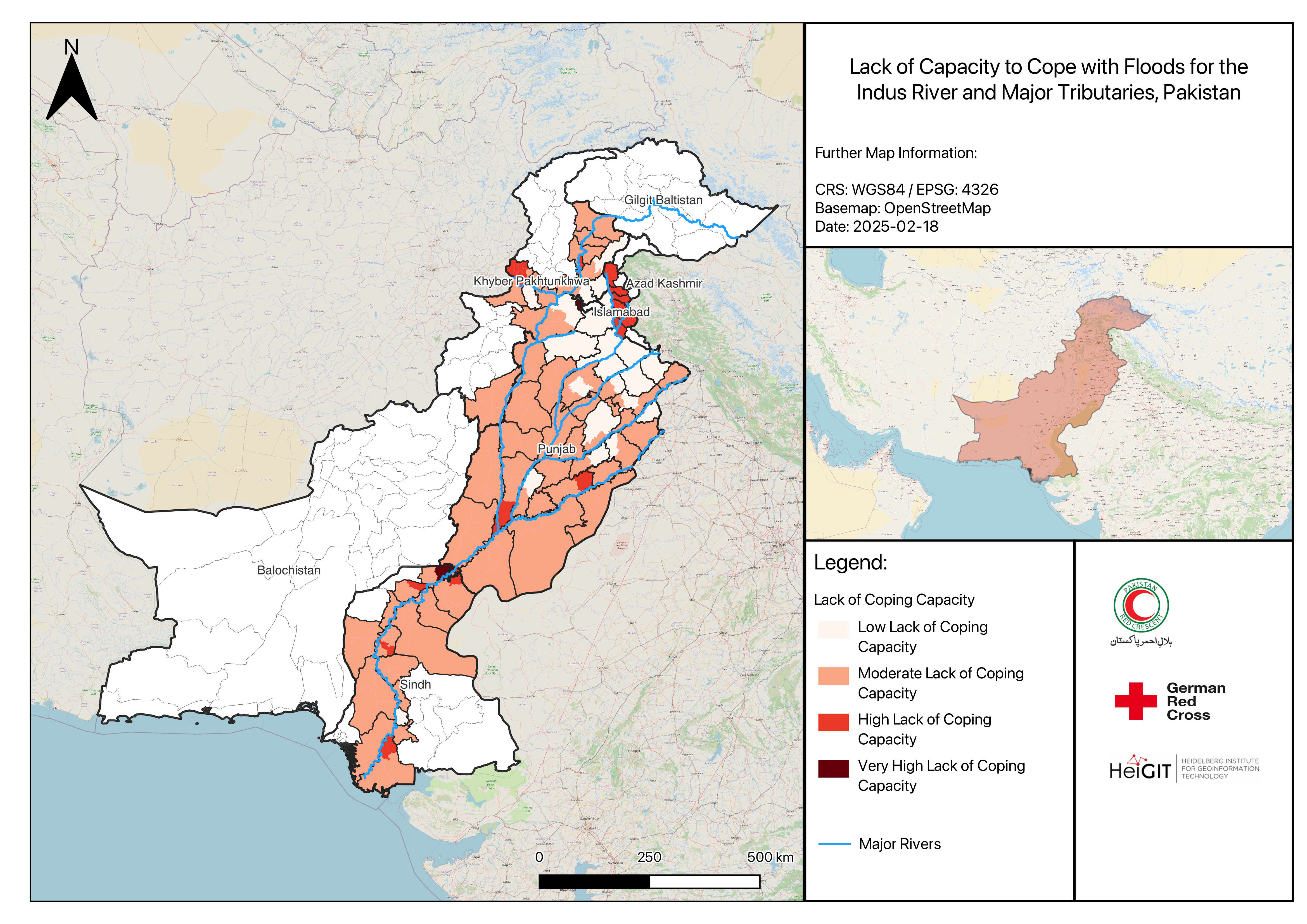
This plugin has been applied in various operational contexts as part of our Anticipatory Action contexts. For example, in Madagascar, we have supported the Malagasy Red Cross in conducting cyclone risk assessments, with a focus on accessibility analysis and capacity building through in-person training. In Pakistan, the plugin was used to support the development of an Early Action Protocol (EAP) for riverine floods in the Indus River Basin. In both cases, the plugin enabled the integration of local data and priorities into a standardized risk assessment process, helping us streamline our analysis and harmonize workflows.
To support users in applying the plugin effectively, we have developed a comprehensive Risk Assessment Plugin Guide, available through the IFRC Network GIS Training Platform. The guide provides step-by-step instructions on installing and using the plugin, explanations of the underlying methodology, and guidance on preparing and formatting input data. It also includes example datasets, case studies, and links to additional support resources, making it a valuable reference for both new and experienced practitioners working in Anticipatory Action.