A few days ago, we had the pleasure of welcoming our longtime partners from the German Red Cross (GRC) to HeiGIT. Together, we not only mapped out our future priorities but also took a moment to look back on the journey we’ve shared since our partnership began in 2017.
The strategic partnership was established to develop GIS solutions that advance the humanitarian efforts of the Red Cross and Red Crescent Movement, while also incorporating valuable operational insights from the field back into HeiGIT’s research. What makes this partnership special is how it goes both ways: we collaborate with the GRC to create tools that have real impact on the ground, and they provide critical feedback to help us continuously refine our technologies and to better serve humanitarian needs.
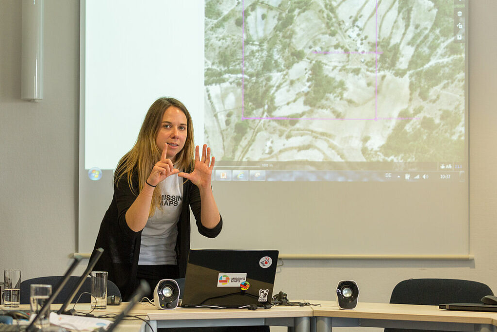
A big part of HeiGIT’s mission is making advanced geoinformatics research accessible and useful for decision makers and humanitarian organizations. Our shared efforts in the Missing Maps initiative have been a great example of this in action—contributing to global mapping projects, developing analysis tools, and supporting the creation of applications that aid vulnerable communities.
The Missing Maps project was launched in 2014 to ensure that some of the world’s most vulnerable communities are represented on the map. In many regions where humanitarian organizations operate, vital data—like the locations of entire towns or critical infrastructure—is often missing, making it difficult for responders to act quickly and effectively in emergencies. That’s where Missing Maps steps in, and HeiGIT has been supporting this project through research, monitoring, and tool development. Alongside these technical support, we’ve collaborated with GRC to organize 25 mapathons—community events focused on mapping vulnerable populations and crisis-affected regions. For a while, they formed the heart of our partnership with GRC. And thanks to the support of the Klaus Tschira Foundation, since 2019, we’ve been able to expand this work with a dedicated geoinformatics position within the GRC’s international cooperation team.
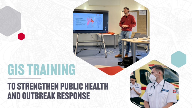
Over time, however, our collaboration began to expand beyond mapping alone, as both teams identified new areas of mutual interest. Starting with in-house training at GRC, our training programs now extend to the IFRC Training Platform, which promotes knowledge transfer across Red Cross and Red Crescent National Societies.
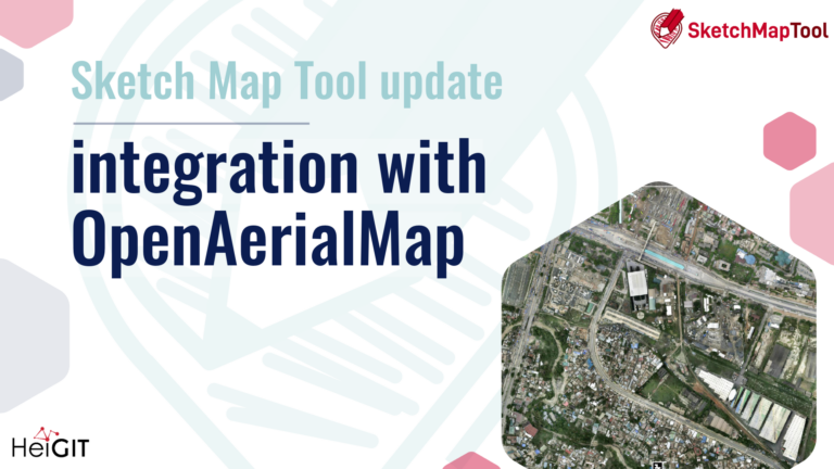
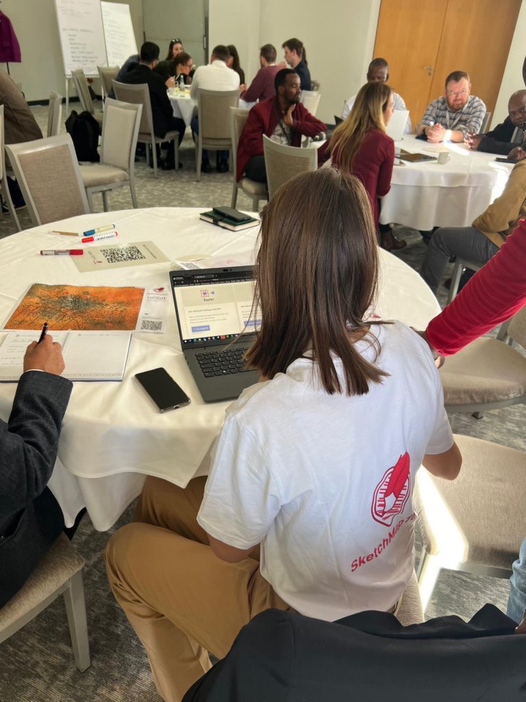
Originally, the Sketch Map Tool (SMT) was developed to make participatory mapping more accessible and user-friendly. In 2020, we enhanced and expanded the tool, tailoring it specifically for use by the Red Cross Red Crescent Movement and similar organizations. Now, SMT supports mapping activities worldwide. This tool not only supports better data collection on the ground and the digitization of the results but also provides easy-to-use and free of charge approaches for GRC and the humanitarian sector to create sustainable capacity building and knowledge sharing.
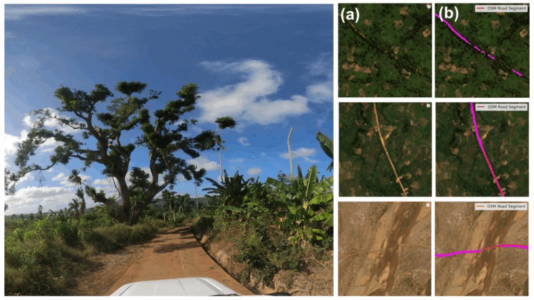
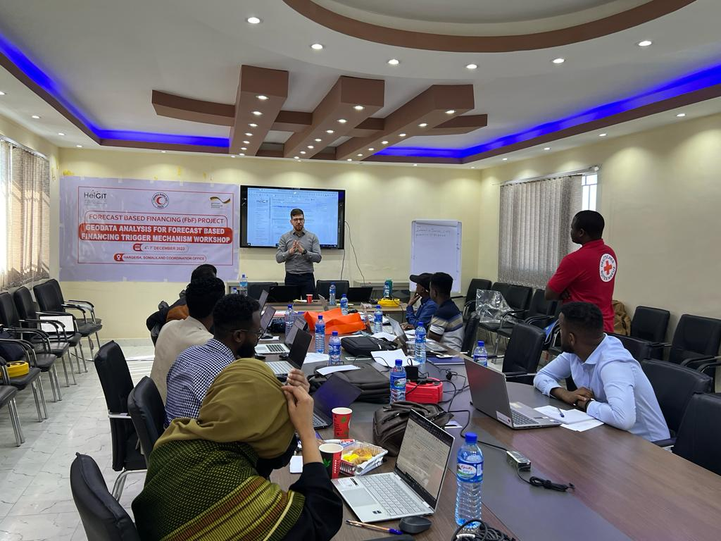
Several years ago, through our work on the Missing Maps project, we began delving into Anticipatory Action (AA) for humanitarian aid. Initially, our focus was on exploring how user-generated data and geoinformation technology could support AA efforts. Before long, we were actively collaborating with the National Societies in countries like Sudan and Somalia, helping them develop Early Action Protocols (EAPs). These protocols allow communities to respond proactively to early warnings, minimizing disaster impacts. To date, we’ve worked together on five AA projects, with more planned in the future. These projects aim to help communities prepare for disasters before they strike and to protect their lives and livelihoods, by using data and forecasts to guide early action and fund preventive measures.
Outlook
Looking ahead, we’re excited to continue our work on developing Early Action Protocols (EAP), as Anticipatory Action (AA) is going to play an even larger role in humanitarian efforts in the coming years. Our focus will be on enhancing the AA methodology to ensure it remains adaptable and effective in addressing evolving challenges. In parallel, we are setting up research projects aimed at refining AA practices and advancing the field with insights and innovative approaches to disaster preparedness.
We are also committed to supporting the digital transformation of the humanitarian sector. This includes providing training opportunities and further developing easy-to-use tools that empower organizations to make data-driven decisions on the ground.
HeiGIT on the German Red Cross website: https://www.drk.de/hilfe-weltweit/wie-wir-helfen/informationsmanagement-und-digitalisierung/mit-angewandter-wissenschaft-humanitaere-aktivitaeten-staerken/
Joint publications:
https://www.nomos-elibrary.de/10.5771/9783748903604/digitalisierung-als-erfolgsfaktor-fuer-das-sozial-und-wohlfahrtswesen “Potenziale von Open Data und Digital Volunteers für die Katastrophenhilfe und den Bevölkerungsschutz” Melanie Eckle, Stefan Scholz 319–330 Hintergrund und Motivation für den Einsatz von offenen Geodaten in der Katastrophenhilfe und im Bevölkerungsschutz.

