Building on our expertise in geospatial technologies, we develop tailored navigation systems, conduct accessibility analyses, and analyze and visualize geospatial data. With our work, we aim to support humanitarian missions with digitalization and knowledge transfer and provide actionable insights to drive effective climate change mitigation and adaptation efforts.
openrouteservice offers routing services using OpenStreetMap data, supporting various transport modes like walking, cycling, driving, and wheelchair routes. It provides features such as isochrone-based accessibility analysis, time-distance matrices, POI search, geocoding, elevation profiles, and multi-stop route optimization. The service also offers options for avoiding noise and heat-stress, catering to environmental preferences. openrouteservice is open-source, allowing users to modify the code or set up their own instance for full control.
In the event of a disaster, openrouteservice for Disaster Management uses up-to-date OSM data for routing. The integration of further data sets could expand the service to include a more comprehensive view of exclusion zones. With near-realtime updates for much of the Global South, the web-app helps humanitarian organizations to act quickly under dynamic conditions.
The HEAL-app offers personalized options that allow pedestrians to avoid sun-exposed streets and suggest alternative routes. The app calculates alternative routes that steer users away from main roads with little shade, directing them through parks and shaded areas instead.
Open Access Lens delivers high-resolution insights into global spatial accessibility, by visualizing the gap in healthcare and education coverage. Using openrouteservice with the OpenStreetMap road network, we calculate travel-time isochrones that show areas reachable by car within defined thresholds. These accessibility zones are then combined with 100 m–resolution WorldPop population data to estimate coverage, enabling decision-makers to pinpoint underserved populations.
The ohsome quality API (OQAPI) provides access to OpenStreetMap (OSM) data quality insights tailored to specific regions and use cases, benefiting organizations such as humanitarian agencies and public administrations. Users can access its features through the ohsome dashboard, which enables intuitive analysis of OSM’s full-history data without programming skills. The dashboard not only generates statistics but also visualizes them directly, allowing users to apply customizable filters and group tags and data types across any region or time period.
The ohsomeNow Stats provides near real-time global statistics on OpenStreetMap (OSM) mapping activity, including contributor numbers, map edits, added buildings, and road lengths. Data can be filtered by OSM Changesets hashtags and is updated regularly. The dashboard, developed in cooperation with the Humanitarian OpenStreetMap Team (HOT), allows users to access mapping statistics from April 21, 2009, onward.

The ohsome API enables analysis of the rich data history within OpenStreetMap. Our REST-based API leverages the OSHDB tools, providing access to key functionalities via HTTP requests. Analyses can be conducted through the ohsome dashboard or by directly interacting with the API, which supports CSV, JSON, and GeoJSON responses.
The OSM Land Use Map web application offers a global view of land use patterns using OpenStreetMap (OSM) data. It visualizes land use classifications such as residential, commercial, and industrial areas at a specific point in time. The application also provides a downloadable dataset for offline analysis. For European countries, gaps in OSM land use data have been addressed by integrating remote sensing data and applying machine learning techniques, achieving a high level of accuracy with a 10-meter resolution.
The Climate Action Dashboard provides high-resolution data and analysis on key climate indicators, from emissions to transportation options. It helps to discover local strengths, identify areas for improvement, and explore tailored solutions for a more sustainable future.
The Sketch Map Tool is an easy-to-use tool for participatory mapping through offline collection, digitisation and georeferencing of local data. This low-tech solution simplifies the gathering and analysis of spatial knowledge and perceptions using pens and paper maps, the so-called Sketch Maps. As an open-source web application, the tool supports the creation, use, and subsequent digitisation and analysis of paper-based maps, integrating OpenStreetMap and satellite data.
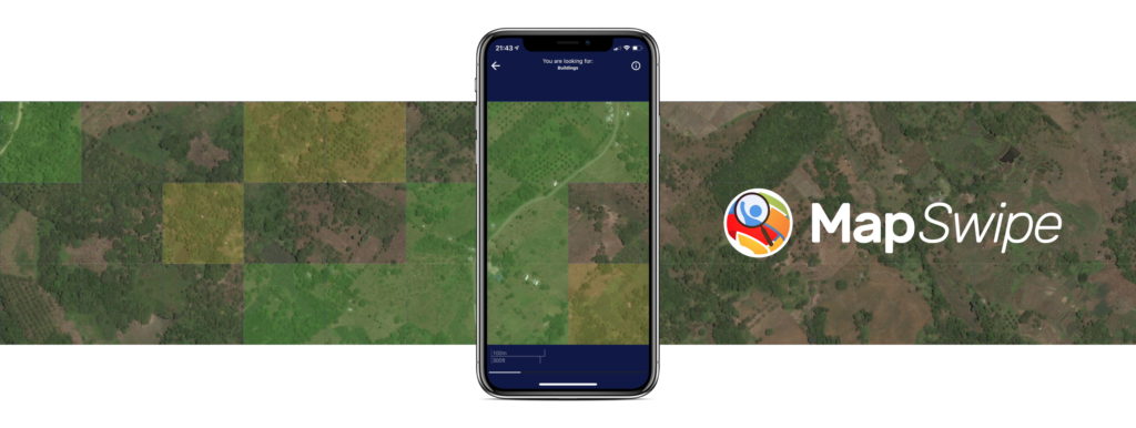
MapSwipe is an open-source app designed to improve global map data through the use of satellite imagery. We support MapSwipe by developing and maintaining the web app and back-end tools. Beyond the humanitarian domain, we have employed an adapted version of the application for various use cases such as permafrost mapping and mangrove monitoring.
The Climate Action Dashboard provides high-resolution data and analysis on key climate indicators, from emissions to transportation options. It helps to discover local strengths, identify areas for improvement, and explore tailored solutions for a more sustainable future.
The HEAL-app offers personalized options that allow pedestrians to avoid sun-exposed streets and suggest alternative routes. The app calculates alternative routes that steer users away from main roads with little shade, directing them through parks and shaded areas instead.
The route planning app helps you to answer the question: “Where is the closest Covid-19 vaccination center and what is the best way to get there?” by suggesting routes to the nearest vaccination center. It is built on the basis of HeiGIT’s openrouteservice technology and uses data from OpenStreetMap (OSM). The application also offers written navigation instructions and further information about vaccination centers. It works online and can be used through modern web browsers on a PC, or on newer smartphones and tablets.
The OSHDB allows for the analysis of data quantity trends and contributions to the OpenStreetMap project over time. It is specifically designed for efficient storage and access to OpenStreetMap’s historical data. To ensure scalability, the OSHDB builds on a partitioning schema, which allows distributed data storage and parallel execution of computations. HeiGIT has developed the OSHDB API, providing a Java-based interface for interaction with the database.