The new year started in the openrouteservice team at HeiGIT with the release of openrouteservice 4.7.2. In this release there were a number of bug fixes, but also some new features. The main one of these is the inclusion of information about access restrictions when your route takes you over roads that are marked in OpenStreetMap as restricted (e.g. destination only roads, private roads etc.).
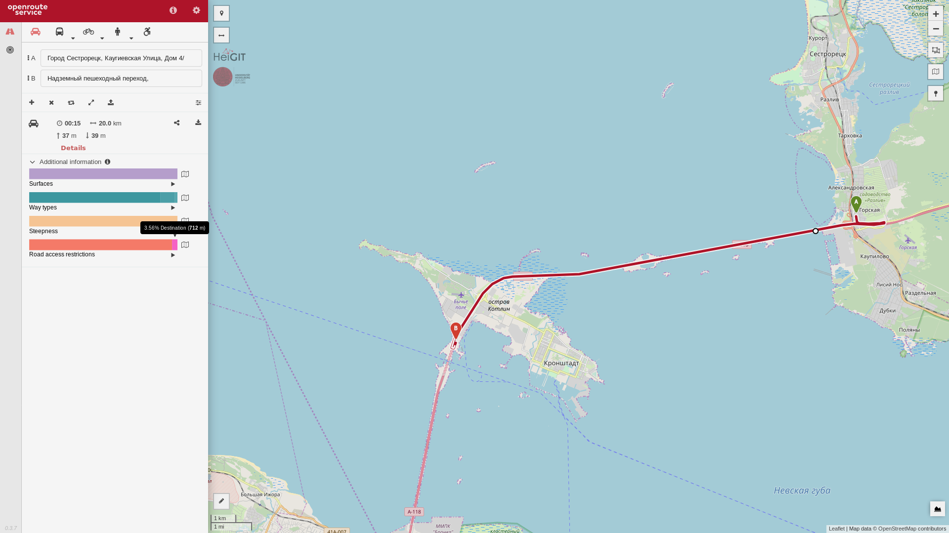
Destination access restrictions
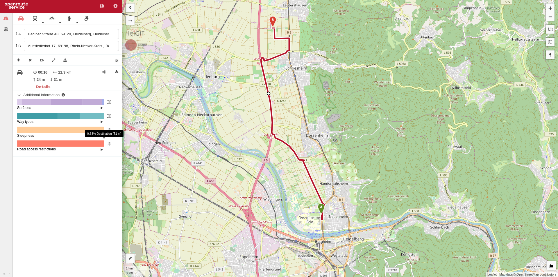
Destination access restrictions
Now whenever you request a route (through the map or the API) and the route generated crosses a restricted road, you will get information about the type of restriction and where it is. On the map page this appears in the bar on the left under the “Additional information” section, and in the API response it is in a new warning message object.
If you want to avoid obstacles from other data sources than OSM in a dynamic way per request you still have the option to use “avoidpolygons” or similar options both in the map client and the API as explained in this Jupyter notebook.
In the future we will be looking into other ways to use the new functionality, so keep an eye out for new things coming up in the near future.
For a full list of updated features in this release, see our changelog over in the openrouteservice GitHub repository.
Also, watch this space for information about a whole new API that is coming for openrouteservice in the near future.