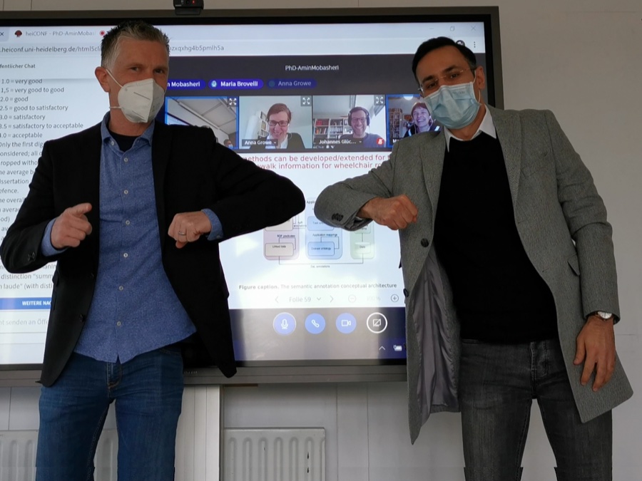
Last Friday Amin Mobasheri of the GIScience Research Group Heidelberg University successfully defended his PhD in Geoinformatics. Due to the Corona pandemy the defense was conducted in hybrid mode with the committee members participating virtually and only Prof. Zipf and Amin being physically in the room. What a shame there was no joint celebration possible afterwards…
The thesis was related to work done in the EU H2020 CAP4Access project and dealt with methods for analysing and improving OpenStreetMap data quality for routing services for mobility impaired persons.
This is motivated by earlier and still ongoing work to provide navigation services for wheelchair users based on OpenStreetMap data through our routing service openrouteservice.org
Well done and all the best to Amin!
Further related work:
- Mobasheri, A., Huang. H., Castro Degrossi, L., Zipf, A. (2018). Enrichment of OpenStreetMap data completeness with sidewalk geometries using data mining techniques. Sensors, 18(2), 509.
- Mobasheri, A., Zipf, A., Francis. L. (2018). OpenStreetMap Data Quality Enrichment through Awareness Raising and Collective Action Tools – Experiences from a European project. Journal of Geo-spatial Information Science, 21:3, 234-246, DOI: 10.1080/10095020.2018.1493817
- Zipf, A., Mobasheri, A., Rousell, A., Hahmann, S. (2016): Crowdsourcing for individual needs – the case of routing and navigation for mobility-impaired persons . In: Capineri, C, Haklay, M, Huang, H, Antoniou, V, Kettunen, J, Ostermann, F and Purves, R. (eds.) European Handbook of Crowdsourced Geographic Information, p. 325–337. London: Ubiquity Press. DOI: dx.doi.org/10.5334/bax.x
- Bakillah, M., Lauer, J., Liang, S., Zipf, A., Jokar Arsanjani, J., Mobasheri, A., Loos, L. (2014). Exploiting Big VGI to Improve Routing and Navigation Services, book chapter in Karimi H.A., Big Data Techniques and Technologies in Geoinformatics, CRC Press, Taylor & Francis.
- Mobasheri, A., Bakillah, M., Rousell, A., Hahmann, S., Zipf, A. (2015). On the completeness of sidewalk information in OpenStreetMap, a case study of Germany. The 18th AGILE Conference on Geographic Information Science, Lisbon, Portugal.
- Mocnik, F. B., Mobasheri, A., Zipf, A.(2018). Open Source Data Mining Infrastructure for Exploring and Analysing OpenStreetMap. Journal of Open Geospatial Data, Software and Standards, 3: 7, doi: https://doi.org/10.1186/s40965-018-0047-6
- Mobasheri, A. (2017). A rule-based spatial reasoning approach for OpenStreetMap Data quality enrichment; Case study of routing and navigation. Sensors, 17(11), 2498.
- Mobasheri, A., Sun, Y., Loos, L., and Ali, A. L. (2017). Are Crowdsourced Datasets Suitable for Specialized Routing Services? Case Study of OpenStreetMap for Routing of People with Limited Mobility. Sustainability, 9(6), 997.
- Neis, P. & Zipf, A (2008): OpenRouteService.org is three times “Open”: Combining OpenSource, OpenLS and OpenStreetMaps. GIS Research UK (GISRUK 08). Manchester.
- Rousell A. and Zipf A. (2017): Towards a landmark based pedestrian navigation service using OSM data. International Journal of Geo-Information, ISPRS IJGI, 6(3): 64.
- Novack, T., Wang, Z., Zipf, A. (2018): A System for Generating Customized Pleasant Pedestrian Routes Based on OpenStreetMap Data. Sensors 2018, 18, 3794. https://doi.org/10.3390/s18113794
- Miksch, J., Hahmann, S., Resch, B., Lauer, J., Zipf, A. (2017): Routing Through Open Spaces – A Performance Comparison Of Algorithms. Geo-Spatial information Science, 2017. Taylor & Francis. Geo-Spatial information Science, 2017. Taylor & Francis. https://doi.org/10.1080/10095020.2017.1399675

