Free open geodata are of increasing importance. They are used in research or case studies and can lead to important insights on social, economic or environmental topics. A problem that often occurs while working with various kinds of geodata is that they cannot be used together because of differing spatial reference units. The Federal Agency for Cartography and Geodesy (BKG), the Federal Statistical Office and the Thünen-Institute have worked together on a solution for this problem: The EU-Projekt Gitterzellendatenbank (EU-Project Grid Cell Database).
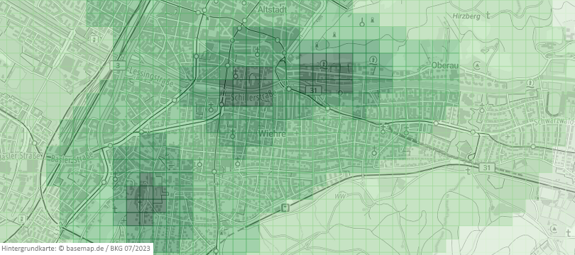
The project aims to provide information on the reachability of specific facilities essential for creating equal living conditions in urban and rural areas. From 2021 to 2023, a database using a 100 meter grid as a unit of reference was developed during the project. The resulting data record is a set of reachability analyses* for healthcare, educational and other facilities from all across Germany. The current dataset covers analyses on reachability by foot and by car for 15 different kinds of Points of Interest (POI) such as schools, hospitals, or railway stations.
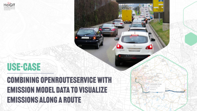
„RoutingPlus“, a routing service provided by the BKG, was used to calculate the reachability of each POI. This routing service is based on free open geodata of the OpenStreetMap project and employs HeiGIT’s openrouteservice (ORS) as a routing software. As for technology, the project makes use of our Fast-Isochrones-Algorithm to calculate large numbers of isochrones. Fast-Isochrones are designed to depict areas with equal travel times on large (up to nationwide) scales. During the project, several processes (upload of the required POI, calculation of isochrones, blending the data with the grid) have been automated, so that other federal agencies can also use the grid cell database. Currently, the database is used productively by the BKG and the Federal Statistics Office. It also receives regular updates, but at the moment, only a limited number of people is authorized to use it.
It is our main objective is the continuous support of research, either by providing free access to our hosted services or with guidance on how to use your infrastructure. Stay connected with us through our social media channels and blog to be abreast of future developments and releases related to ORS and advancements in geospatial technology. If you are interested in finding out what we can provide for your use-case, please feel free to check out openrouteservice.org or reach out to us.
*German language only