We support humanitarian efforts by improving geoinformation quality and accessibility, enabling more effective crisis response and disaster preparedness. Within anticipatory action frameworks, we conduct risk assessments to identify vulnerabilities and develop data-driven triggers for early intervention, integrating local knowledge for context-specific and inclusive solutions. By equipping communities with the tools and expertise to sustain these efforts, we foster long-term resilience.
We provide high-resolution spatial indicators—datasets that support climate action—empowering decision-makers and citizens with the data analyses and tools to take informed action. The climate crisis is one of the most urgent challenges of our time, and there remains a significant gap between awareness and tangible action, which our work aims to close.
We offer specialized routing solutions tailored to the needs of the humanitarian sector and climate action. Our services go beyond standard mobility analysis to improve accessibility in areas such as humanitarian aid, health, and sustainable transport. By focusing on active mobility and public transport, we strive to promote more sustainable and inclusive solutions.
We specialize in transforming complex open geo-datasets into actionable insights, with a strong focus on humanitarian and climate applications. Drawing from our experience in research and development, we serve as the link between technology and practical applications. Our custom-built tools and processes, incorporating advanced methods like spatial data mining and deep learning, are designed to meet specific data quality needs of our partners.
In the face of growing humanitarian challenges, geoinformation plays a vital role in enhancing crisis preparedness and response while building community resilience. By leveraging data and digital technologies, we assist humanitarian organizations in identifying vulnerabilities and hazards through anticipatory action, integrating local knowledge to ensure context-specific and inclusive solutions.
The Climate Crisis is one of the most urgent challenges of our society, and its impact is more and more perceived. However, there is a large gap between awareness about climate change and concrete societal actions. To close this gap, the Climate Action Team provides actionable data analyses and tools to assist citizens and decision makers.
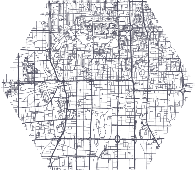
We offer a diverse range of routing solutions tailored to various user scenarios. Our services extend beyond standard mobility analysis, providing specialized tools for routing and accessibility in a context of humanitarian aid, health and climate action. Our web applications and APIs utilize the large resource of open, user-generated OpenStreetMap data, and serve a multitude of applications throughout the world.
We specialize in transforming complex datasets into actionable insights, always mindful of the spatial context. Drawing from our extensive experience in research and development, we serve as the link between technology and practical applications. Our custom-built tools and processes, incorporating advanced methods like spatial data mining and deep learning, are designed to meet specific data quality needs of our partners.
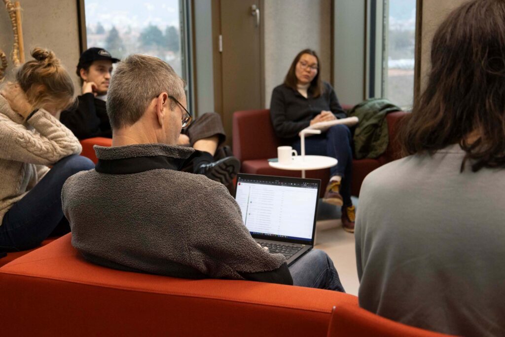
Our organization thrives on a culture of interdisciplinary collaboration, supported by four core areas of expertise.
By transcending traditional working styles, we foster innovation and maintain a steady flow of fresh ideas and approaches. This dynamic environment ensures that we remain at the forefront of geoinformation technology.