In many parts of the world, access to detailed and accurate maps is far from given. In regions where humanitarian organizations operate, entire cities and critical infrastructure are often missing from maps. This lack of reliable geographical data poses significant challenges for disaster relief efforts, such as planning effective operations or delivering aid to healthcare facilities.
To address this, the Missing Maps project was founded in 2014 with the goal of mapping vulnerable and underserved regions using the open-source platform OpenStreetMap (OSM). These efforts aim to create detailed maps that support humanitarian operations in disaster-prone areas.
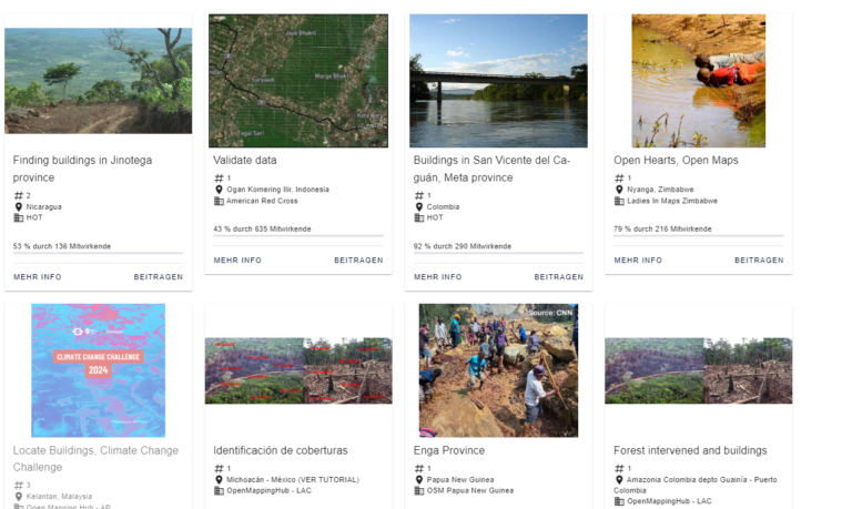
Volunteers from around the globe contribute by tracing satellite imagery into OpenStreetMap. Participants can join existing mapping tasks or organize their own mapathons to foster a sense of community among mappers.
Community volunteers enhance the maps by adding local details, such as neighborhoods, street names, and evacuation centers. This process ensures the accuracy and reliability of the maps, making them more useful for on-the-ground efforts.
Humanitarian organizations utilize the mapped information to plan risk reduction and disaster response activities that save lives. These maps support efforts such as coordinating relief supplies, identifying vulnerable areas, and improving preparedness for future crises.
The Missing Maps project was co-founded by:


Leveraging data from the HOT Tasking Manager and the ohsome framework to track contributions and assess their impact.
Providing tools to support decision-making in disaster management.
Exploring the completeness of OpenStreetMap data in regions where detailed reference datasets are unavailable.
Utilizing global datasets on built-up areas, human settlements, and population distribution to gain insights into the coverage of specific features like buildings and residential areas.
Disseminating insights through research papers and collaborations with partners.
Contributing to global discussions on mapping efforts at conferences and workshops.
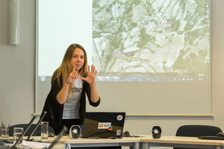
HeiGIT organizes regular Missing Maps Mapathons, events where volunteers and experts collaborate to improve the quality and coverage of OpenStreetMap data in underserved regions.
A few days ago, we had the pleasure of welcoming…
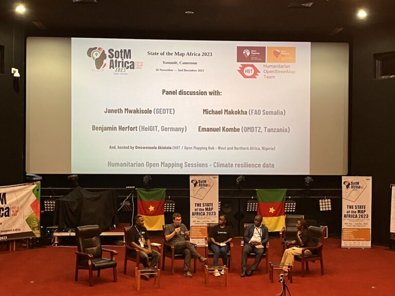
The recently concluded State of the Map Africa 2023, hosted…
Sketch Map Tool (SMT) – An easy-to-use way to create…
Einladung Vortrag Online: Dienstag, 14. Dezember 2021, 19:15 Uhr Melanie…