Trees in settled areas are increasingly recognized as important indicators for sustainability, climate adaptation, and quality of life. However, existing datasets are often incomplete and rarely provide taxonomic information beyond publicly managed trees. As a result, many studies and planning efforts still rely on coarse greenness indicators, such as canopy cover, rather than detailed tree-level information.
To bridge this gap, researchers from HeiGIT and collaborating institutes developed a large-scale, genus-level tree inventory for Baden-Württemberg, a state in southwest Germany covering 35,700 km² and home to 11.3 million people. The region spans major metropolitan areas such as Stuttgart, Mannheim, and Karlsruhe alongside smaller towns set within forested and agricultural landscapes.
The dataset is restricted to non-forest areas and covers residential and commercial areas, transportation corridors, agricultural areas with scattered trees, and urban green spaces, on both publicly managed and privately owned land. It includes tree locations, crown geometry, height, and genus-level labels derived from multisensor remote sensing and deep learning.
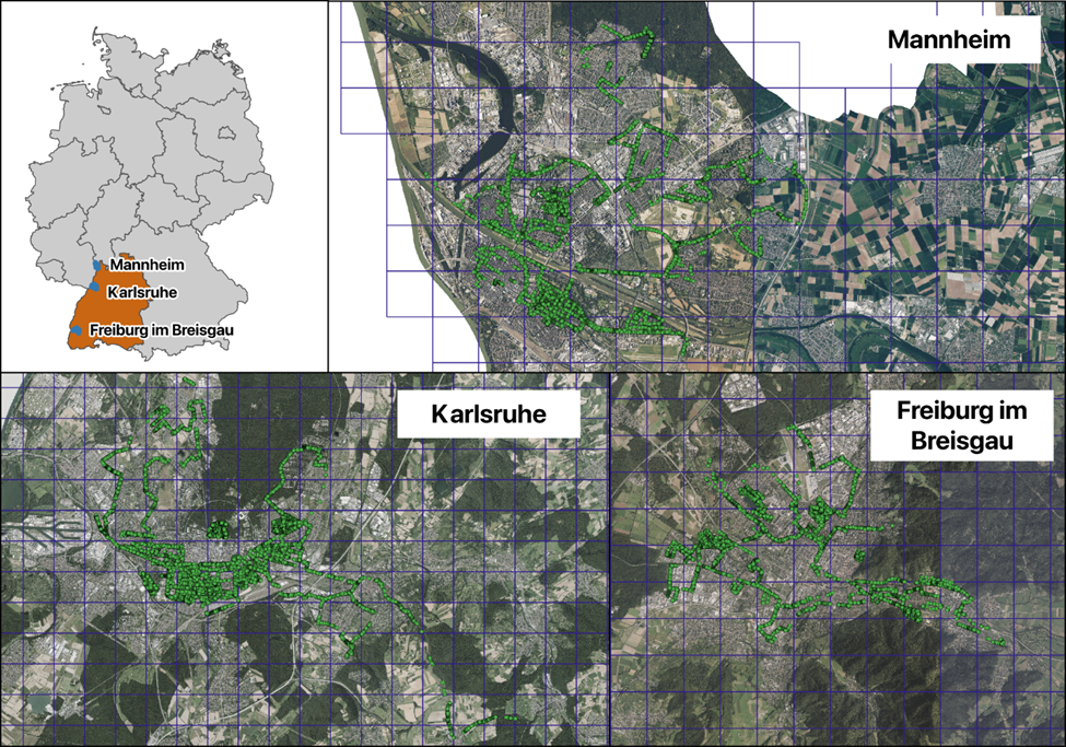
Trees were mapped from high-resolution aerial imagery and canopy-height data using deep learning, with terrestrial LiDAR surveys providing training labels. The resulting inventory comprises ten genus-level classes, including aggregate categories for “Other Deciduous” and “Coniferous” where aerial imagery does not permit finer distinction. On independent test areas, the model achieved an mAP@0.5 of 0.647 for tree detection and a macro F1 of 0.627 for 10-class genus classification, yielding a final inventory of 16.3 million trees across the mapped domain.
The accompanying code repository and training annotations allow users to retrain or adapt the teacher–student workflow to other regions, sensors, or taxonomic schemes. Potential extensions include incorporating seasonal or multi-year imagery to capture phenological signatures, integrating additional spectral bands or time-series indices (e.g. monthly NDVI) for improved genus discrimination, and expanding the label set as more reference data become available. The workflow is also amenable to multimodal and multitemporal fusion, for example combining RGB+NIR imagery, height, and time-series indices, to further strengthen genus discrimination and temporal stability.
The dataset supports a range of applications in urban ecology, planning, biodiversity assessment, and environmental health. Beyond providing a statewide dataset, this work offers a scalable operational blueprint for an evolving tree inventory that can be systematically improved over time through better imagery, richer local reference data, and targeted retraining.
All code used for data preprocessing, model training, and statewide inference is available at GitHub – GIScience/tree-genera-mapping under the AGPL-3.0 license.
Reference: Grinblat, Y., Tost, H., Benedyk, A. et al. A genus-labeled dataset of individual trees outside forests in Baden-Württemberg, Germany. Sci Data (2026). https://doi.org/10.1038/s41597-026-08400-y
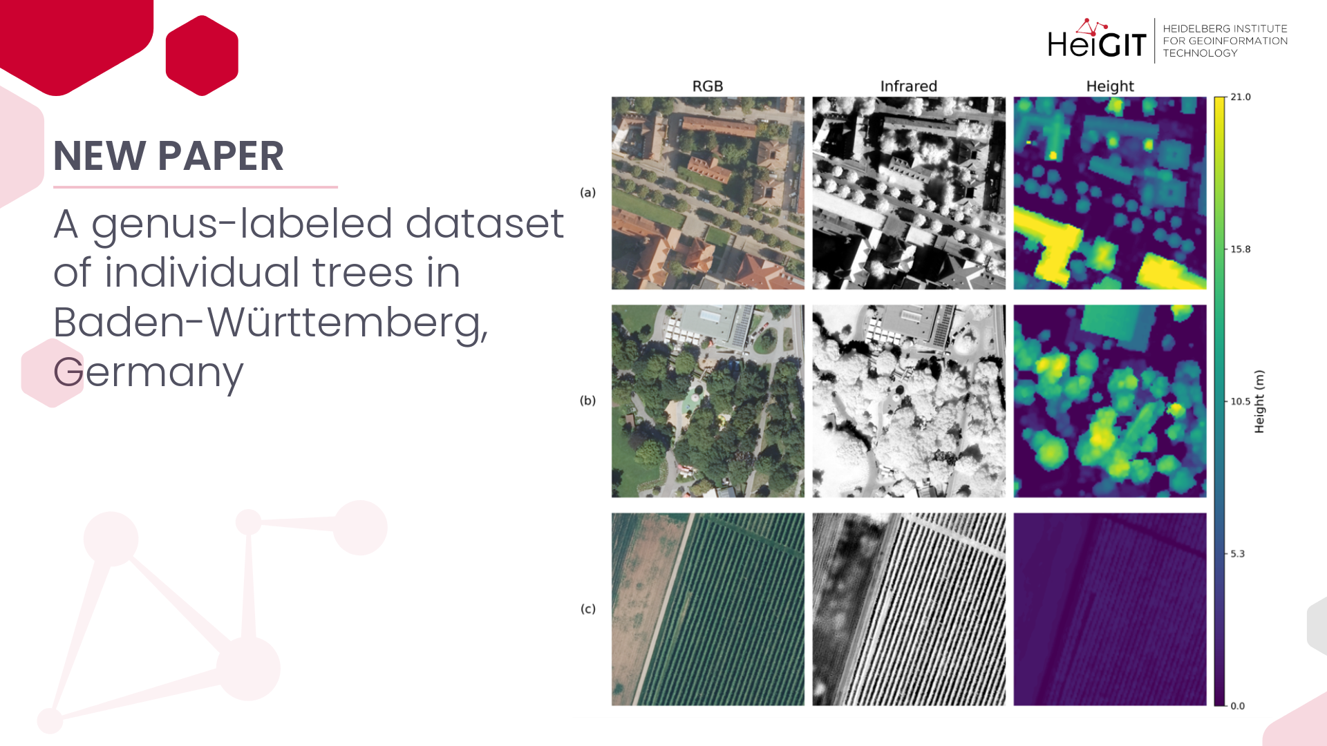
Title image: Subtitles with 5 channels 640×640 px: (a) urban, (b) urban greenspace and (c) negative cases.