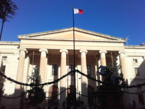
Around 55 participants gathered in Malta for the 3rd International Workshop on Spatial Data Quality 2020 from 28th to 29th of January. Among national mapping agencies, software providers and standardization organizations, HeiGIT had the opportunity to present its ohsome – OSM history analytics platform for analyzing spatial data quality by looking at the temporal development of the data and its contributors. Discussed topics ranged from data harmonization and standardization, building up national databases, quality assurance in 3D BIM data, e-government and many more. All presentations are made available here.
The workshop has been jointly organized by eurogeographics, EuroSDR, OGC, ISO and ICA.
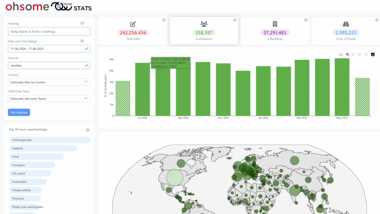
If you are interested in learning more about the ohsome platform built on top of the OSHDB [1] , you might want to have a look into the ohsome-examples blogpost-series introducing the usage of the ohsome API http://api.ohsome.org/ with several applications and code examples. You might also want to test the first interactive Web application prototypes like the global ohsome dashboard or the OSM History eXplorer ohsomeHeX. Further examples are presented in the literature e.g. [2][3][4].
[1] Raifer, M., Troilo, R., Kowatsch, F., Auer, M., Loos, L., Marx, S., Przybill, K., Fendrich, S., Mocnik, F.-B.& Zipf, A. (2019): OSHDB: a framework for spatio-temporal analysis of OpenStreetMap history data.Open Geospatial Data, Software and Standards 2019 4:3. https://doi.org/10.1186/s40965-019-0061-3
[2] Auer, M.; Eckle, M.; Fendrich, S.; Griesbaum, L.; Kowatsch, F.; Marx, S.; Raifer, M.; Schott, M.; Troilo, R.; Zipf, A. (2018): Towards Using the Potential of OpenStreetMap History for Disaster Activation Monitoring. ISCRAM 2018. Rochester. NY. US.
[3] Grinberger, A. Y. ; Schott, M. ; Raifer, M ; Troilo, R. ; Zipf, A. (2019): The institutional contexts of volunteered geographic information production: a quantitative exploration of OpenStreetMap data. Proceedings of the GeoCultGIS – Geographic and Cultural Aspects of Geo-Information: Issues and Solutions, Limassol (Cyprus).
[3] Ludwig, C. ; Zipf, A. (2019): Exploring regional differences in the representation of urban green spaces in OpenStreetMap. Proceedings of the GeoCultGIS – Geographic and Cultural Aspects of Geo-Information: Issues and Solutions, Limassol (Cyprus)

