On December 18, 2024, GIScience PhD candidate Steffen Knoblauch will present his research on “Habitat-Scale Environmental Suitability Mapping for Aedes aegypti.” The public lecture will take place at 9:00 AM in the Conference Room, 5th Floor, Mathematikon, Im Neuenheimer Feld 205, 69120 Heidelberg, and will be followed by a non-public PhD defense examination.
Geoinformatics Research to Support Local Control of Aedes-borne Arboviral Infections
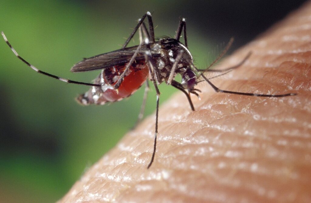
Aedes-borne arboviral infections, such as dengue, are a major public health threat, with 400 million infections and 40,000 deaths annually. The WHO projects that by 2080, over 60% of the global population will reside in areas at risk from Ae. aegypti. This risk is driven by the impacts of climate change and accelerating urbanization, the latter increasing the availability of artificial containers that Ae. aegypti prefers for breeding. Effective control requires a thorough understanding of Ae. aegypti‘s distribution and interactions with humans. Pathogen transmission is complicated by the mosquito’s daytime biting behavior and high spatial variability in abundance, which is particularly pronounced in heterogeneous urban settings due to the limited flight range of Aedes mosquitoes. Sample-based entomological surveillance methods, such as ovitraps, often considered for guiding interventions, cannot capture these complex dynamics. Steffen’s PhD research aims to enhance surveillance by integrating geospatial big data to refine disease control.

In his PhD thesis Steffen developed novel methods for (i) generating environmental suitability indicators for Ae. aegypti, to interpolate ovitrap data across heterogeneous urban landscapes considering Aedes flight range, and (ii) modeling daytime Aedes-human interactions to incorporate biting risk into guidance for local interventions. To enable practical application, all methods were designed to be scalable to the municipal level, as demonstrated in the Rio de Janeiro case study (1,221 km²), representing the primary intervention level in many countries, including Brazil.
The results indicate that (i) Aedes breeding container density, estimated at scale using satellite and street view imagery, can be a significant indicator (p ≤ 0.05) for modeling Ae. aegypti egg and larval counts, as monitored with 2,700 ovitraps. The significance varies by container type, data source, and the modeled Aedes habitat size around ovitrap locations. (ii) When combined with additional suitability indicators derived from geospatial big data, such as water accumulation, urban morphology, and urban climate, these indicators explained up to 75% of ovitrap count variation in this case study. (iii) Modeling daytime Aedes-human interactions with mobile phone data improved dengue predictions by 14%, contributing to the explanation of 77% in spatial deviance of 8-year occurrence (2015-2022). Collectively, these findings provide improved guidance for interventions, informed by (a) continuous environmental suitability maps for Ae. aegypti and (b) key Aedes-human interaction hotspots. Major challenges limiting accuracy remain due to heterogeneous data availability and coarse resolution.
The developed concept can potentially reduce public health costs in two ways: (i) by providing more precise intervention guidance and (ii) by minimizing the number of ovitraps needed, through interpolation of entomological measurements and optimal surveillance positioning. These insights are particularly important as long as vector control measures, such as Wolbachia and insecticide spraying, (i) remain among the most effective interventions against Aedes-borne arboviral infections due to the challenges in vaccine development and equitable healthcare access, and (ii) continue to be costly or face environmental regulations. Although tailored to the municipality of Rio de Janeiro, these methods may be applicable to other Aedes-endemic areas with similar ecological contexts, pending further research for broader application and integration into prescriptive analytics, facilitating the transition from predictive insights to more actionable strategies.
Related posts:
Research Visit to Rio de Janeiro
Joint International Tropical Medicine Meeting 2023
Research Visit at Universidade Federal Fluminese (UFF) in Rio de Janeiro
Image: Pixabey


