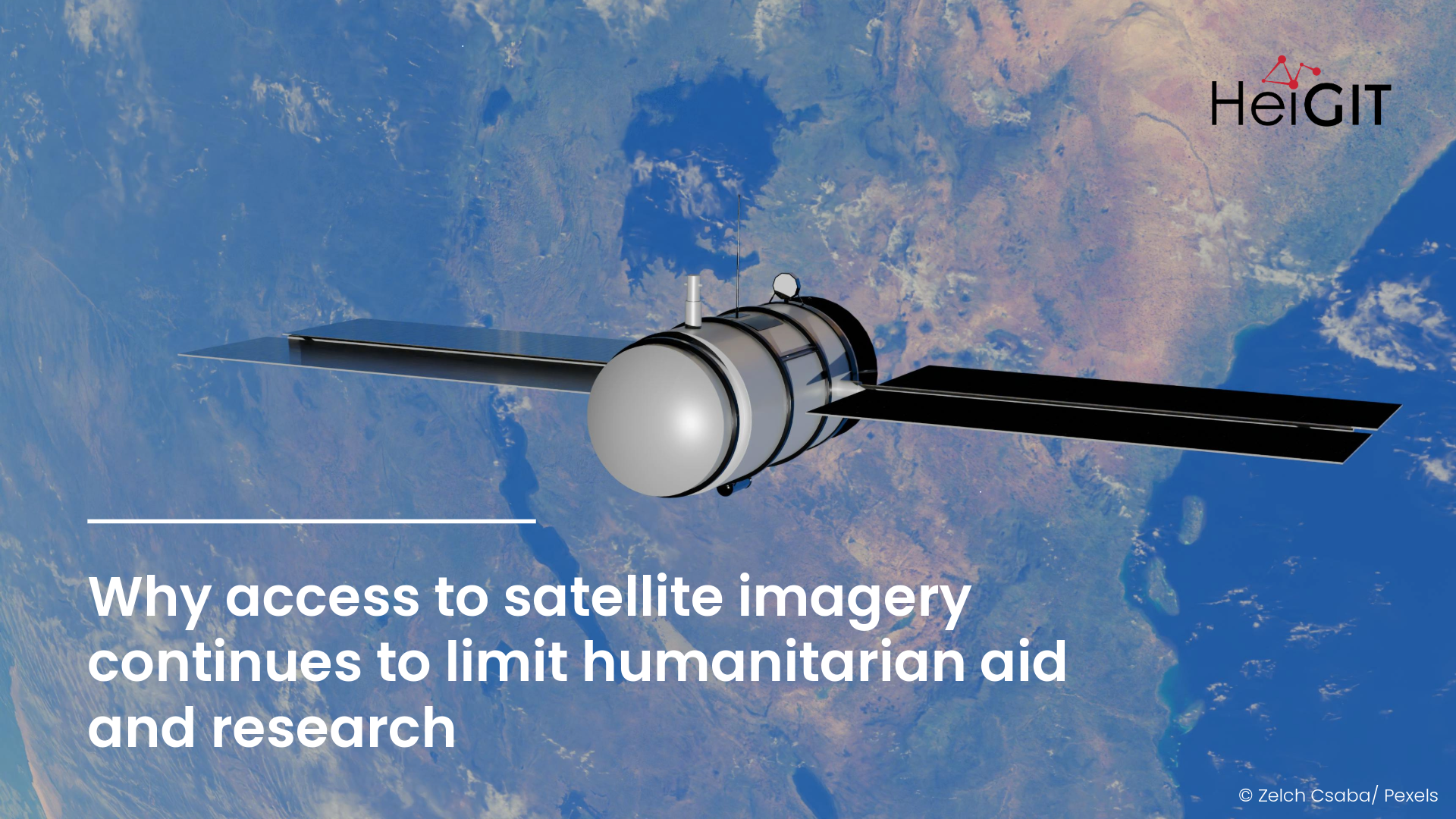
Satellite imagery has become so embedded in research and humanitarian work, yet access remains uneven and inconsistent. Even when imagery is nominally available, its coverage varies across regions, resolution is not always sufficient, and data access is often tied to short-term agreements or specific use cases. These constraints restrict the delivery of timely and targeted humanitarian aid, and in research they often dictate which questions can be asked and which projects can move forward.
Initiatives such as Common Space point toward democratizing access to satellite imagery, turning it into shared infrastructure. Open and consistent access would support continuity across research and operations, enable broader participation, and reduce the dependency on ad hoc data access. For projects that rely on combining satellite data with open geographic information, this would expand what is possible in both research and humanitarian response.
In our own work, satellite imagery underpins the quality of research and innovation we can offer. We apply it across a wide range of use cases, from mapping infrastructure changes to modelling environmental dynamics and developing risk indicators for anticipatory action.
Our projects and tools span different stages of disaster management, supporting humanitarian work before, during, and after an event. Satellite data informs predictions in the global road surface datasets used for humanitarian routing and mapping infrastructure change, as well as the design of early action protocols in anticipatory action. In other areas, GeoAI approaches combine satellite imagery with multimodal data to detect wastewater treatment plants for disaster planning.
Tools such as Sketch Map Tool and MapSwipe rely on satellite imagery to enable participatory mapping and large-scale validation of geographic data. They are often used in contexts where combining local knowledge with remote sensing helps communities identify risks and represent their needs. Crowdsourced data from MapSwipe directly informs humanitarian operations.
Beyond these applications, work combining remote sensing with OpenStreetMap has supported mapping of land use and urban green spaces, as well as identifying potential breeding habitats of mosquitoes (Aedes aegypti).
These applications depend on the availability of high-resolution imagery that is openly available. When access is limited or exceeds available budgets, workflows become fragmented and findings remain constrained by research licenses, limiting their use in operational contexts. Some analyses can only be conducted in well-covered regions, while areas with the greatest need often remain unmapped. From informal settlements seeking to advocate for improved living conditions to remote and underserved regions where humanitarian response depends on reliable information, the ability to consolidate knowledge and allocate resources often begins with a map.
When satellite imagery is only available for short-term charitable purposes, its benefit too has a short-term effect. A dedicated humanitarian satellite would enable capacity building among humanitarian actors while providing researchers with a reliable foundation for predicting and analyzing future hazards. That’s why we wholeheartedly support the Common Space`s initiative of creating open and shared data and infrastructure.
References:
Randhawa, S., Randhawa, G., Langer, C., Andorful, F., Herfort, B., Kwakye, D., Olchik, O., Lautenbach and S., Zipf, A. (2025). The changing surface of the world’s roads. arXiv preprint arXiv:2512.04092.
Schultz, M., Li, H., Wu, Z., Wiell, D., Auer, M., & Alexander, Z. (2025). OSMlanduse a dataset of European Union land use at 10 m resolution derived from OpenStreetMap and Sentinel-2. Scientific Data, 12(1), 750. https://doi.org/10.1038/s41597-025-04703-8
Knoblauch, S., Mukaratirwa, R. T., Pimenta, P. F. P., de A Rocha, A. A., Yin, M. S., Randhawa, S., Lautenbach, S., Wilder-Smith, A., Rocklöv, J., Brady, O. J., Biljecki, F., Dambach, P., Jänisch, T., Resch, B., Haddawy, P., Bärnighausen, T., & Zipf, A. (2025). Urban Aedes aegypti suitability indicators: a study in Rio de Janeiro, Brazil. The Lancet Planetary Health, 9(4), e264–e273. Urban Aedes aegypti suitability indicators: a study in Rio de Janeiro, Brazil
Randhawa S., Randhawa G., Sivak O., Zech J., Martin M., Zipf A., and Li Y.. 2023. Multiscale Multifeature Vision Learning for Scalable and Efficient Wastewater Treatment Plant Detection using Hi-Res Satellite Imagery and OSM. In Proceedings of the 1st ACM SIGSPATIAL International Workshop on Advances in Urban-AI (UrbanAI ’23). Association for Computing Machinery, New York, NY, USA, 10–21. https://doi.org/10.1145/3615900.3628772
Ludwig C, Hecht R, Lautenbach S, Schorcht M, Zipf A. (2021): Mapping Public Urban Green Spaces Based on OpenStreetMap and Sentinel-2 Imagery Using Belief Functions. ISPRS International Journal of Geo-Information. 2021; 10(4):251. Mapping Public Urban Green Spaces Based on OpenStreetMap and Sentinel-2 Imagery Using Belief Functions
Chen, J., Zipf, A. (2017): Deep Learning with Satellite Images and Volunteered Geographic Information (VGI). In: Karimi, H. A. and Karimi, B. (eds.): Geospatial Data Science Techniques and Applications. Chapter 3. pp. 63-78. crc press. Taylor & Francis.