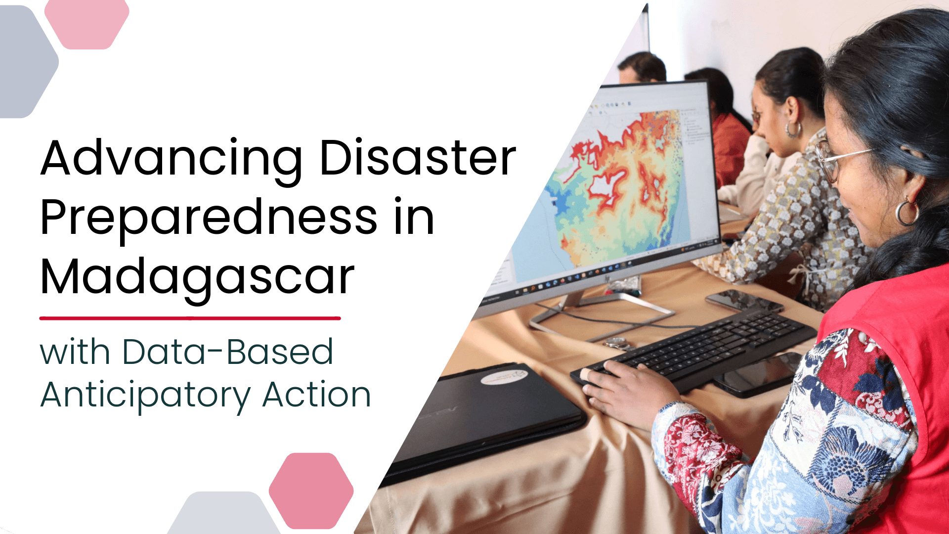
Anticipatory Action (AA) is becoming an increasingly vital approach in humanitarian and disaster risk management. By leveraging forecasts and risk data, AA enables timely interventions before extreme events occur. Geoinformation technologies play a key role in operationalizing this approach. In Madagascar, where cyclones regularly cause widespread damage, HeiGIT has been working with Croix-Rouge Malagasy (CRM, the Malagasy Red Cross) and the German Red Cross (GRC) and with the financial support of the Deutsche Bank Stiftung to strengthen local GIS capacity in support of anticipatory action. Our efforts include GIS trainings, technical support in the development of Early Action Protocols, and the exploration of the requirements for development of an AI-based routing system that predicts the passability of unpaved roads depending on weather conditions.
GIS Training for Anticipatory Action in Madagascar
HeiGIT had already conducted a basic Geographic Information Systems (GIS) training for the Malagasy Red Cross in Antananarivo, Madagascar, in 2024. The objective was to establish a foundation for developing a GIS-based trigger system in support of an Early Action Protocol (EAP) for cyclones.
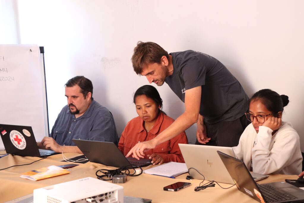
Building on that experience, a second, more specialized GIS training was delivered in August 2025. The training was designed to advance the participants’ skills and enable them to autonomously implement the semi-automated trigger system for cyclone preparedness.
The training participants demonstrated strong progress, gaining a solid command of GIS fundamentals and practical workflows. The training also introduced a new exercise track focused on automation in anticipatory action, available in both English and French. These resources ensure ongoing learning and support the broader Red Cross Red Crescent Movement in building local GIS capacities.
Automated Trigger System for Cyclones
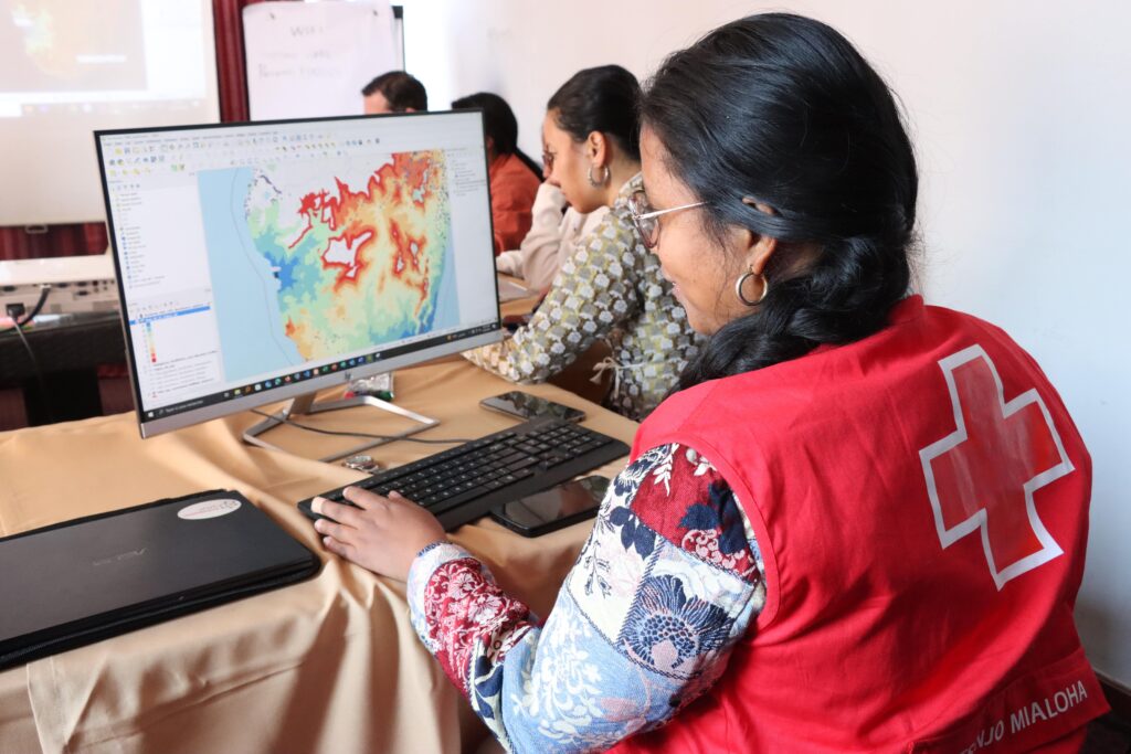
The GIS-based trigger system developed for Madagascar uses the open-source software QGIS and aims to provide a rapid assessment of exposure to cyclones. The trigger workflow is almost fully automated, requiring little to no manual intervention.
The workflow includes the analysis and mapping of areas and assets (potentially) affected by tropical storms and cyclones, serving as a core decision-making tool in the activation of early action measures.
Outputs of the trigger system include an overview map showing exposed districts, a map indicating exposed populations, and maps of exposed buildings, health facilities, educational institutions, and agricultural areas.
All input data, system files, and guidance for reproducing the process are documented and can be accessed on the IFRC Network GIS Training Platform. The system is designed to be practical and replicable, allowing Red Cross and Red Crescent Societies to adapt it to future needs and refine it as more data becomes available.
Reliable Logistics in all Road and Weather Conditions with AI Routing
In humanitarian missions, particularly in regions with few paved roads, logistics access often depends on the condition of unpaved routes, which can change drastically in the case of heavy rainfall.
To address these challenges, HeiGIT is developing an AI Logistic Awareness System (AILAS), a weather-adaptive, AI-supported routing system for regions with unpaved roads (defined here as all routes without sealed surfaces such as asphalt, concrete, or paving stones).
Thanks to the partnership with Croix-Rouge Malagasy, street-level image data to feed the AI routing system is now being collected using dash cams mounted on emergency vehicles along documented routes in Madagascar, the project’s pilot region.
The street-level imagery will be used to train a convolutional neural network to classify the passability of road segments at a given time. These classifications will be combined with secondary data, such as rainfall and soil moisture, to predict current road conditions. The resulting assessments will feed into a routing system, enabling logistics planners to create dynamic routes that reflect both the current and predicted passability of unpaved roads, taking into account weather conditions and forecasts.

The Real-World Impact of Geoinformation Technology in Humanitarian Settings
In regions such as Madagascar, where cyclones have a high humanitarian impact nearly every year, anticipatory action can greatly improve the effectiveness of disaster preparedness and the timeliness of disaster response. By acting before an event strikes with risk assessments and trigger systems, it is possible to reduce displacement, protect critical infrastructure, and save lives.
The active involvement of local communities ensures that risk assessments and trigger systems are informed by ground-level realities and community knowledge. This participatory approach also builds ownership and sustainability, as humanitarian practitioners on the ground are able to independently use the data resources and adapt them to their needs.
The joint work between HeiGIT and the Croix-Rouge Malagasy highlights the tangible impact of data-based research and geoinformation technology in humanitarian contexts. Through practical GIS trainings and the co-development of open-access tools, we contribute to more effective and proactive disaster management strategies.
What’s Next
The latest training in Madagascar is part of HeiGIT´s broader effort to support anticipatory action initiatives with GIS expertise, including previous work on drought and locust risks in Somalia, riverine flood risks in Sudan and Pakistan, and further ongoing projects with the Red Cross and Red Crescent Societies.
Looking ahead, we look forward to continue our engagement with National Societies through additional GIS trainings. A dedicated working group is exploring the integration of artificial intelligence into anticipatory action. The newly-launched AILAS (Artificial Intelligence for Location-based Anticipatory Systems) project will further develop tools to combine AI and geospatial data to enhance disaster preparedness workflows.
To find out more about our work related to Anticipatory Action as well as other efforts to advance geospatial technology in the humanitarian aid field, check our focus webpage, follow our social media channels and stay up to date on our blog.


