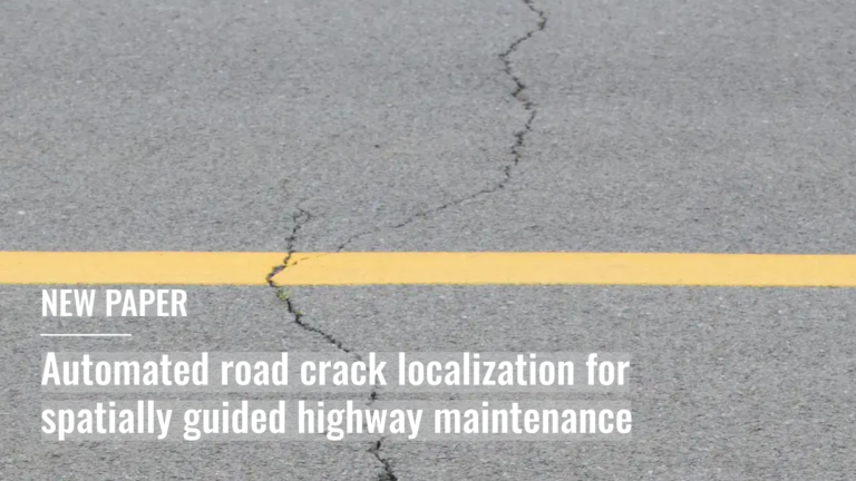
Leveraging openly available airborne imagery this study presents a scalable framework for automated road pavement crack detection for spatially guided highway-maintenance….
Satellite imagery has become so embedded in research and humanitarian work, yet access remains uneven and inconsistent. Even when imagery is nominally available, its coverage varies across regions, resolution is…
A new study published in Scientific Reports examines the effectiveness of biological larviciding in controlling invasive mosquito populations in Heidelberg, Germany. Using detailed data, the research highlights how treatment effects…
The article is based on the talk Benjamin Herfort (HeiGIT) and Benjamin Würzler (Bundesamt für Kartographie und Geodäsie) presented at FOSSGIS 2026 in Göttingen….
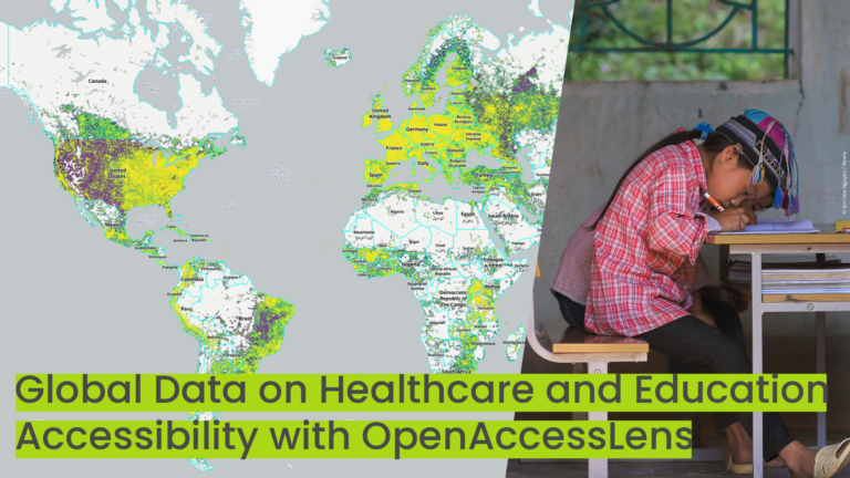
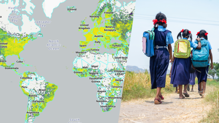
The new OpenAccessLens platform provides open, global data on accessibility to healthcare and education. Built on OpenStreetMap data and openrouteservice modeling, it can support accessibility research, humanitarian work, public health…
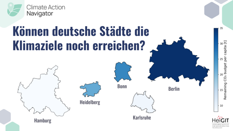
Deutschland hat seine Treibhausgasemissionen seit ihrem Höhepunkt im Jahr 1979 bereits erheblich reduziert. Dennoch stehen viele Städte kurz davor, ihre verbleibenden CO₂-Budgets aufzubrauchen. Können wir die Klimaziele noch erreichen? Das…
Reliable geodata is essential for informed decisions, such as preparing emergency supply chains, assessing road conditions, identifying healthcare gaps, or guiding climate investments. Yet in many regions, this information is…
neuer globaler Datensatz zeigt Lücken beim Zugang zu Bildungseinrichtungen und der Gesundheitsversorgung auf Zahlen allein erzählen selten die ganze Geschichte – etwa darüber, ob ein Kind zur Schule geht oder…
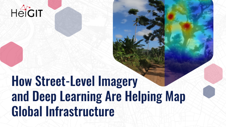
Street-level imagery combined with deep learning methods is transforming how we detect and map critical infrastructure characteristics that are often missing from existing datasets. Applications range from road surface classification…
This blog article was originally posted on Medium by Maciej Adamiak, machine learning expert at HeiGIT. It’s very easy to take many things around us for granted, especially when you live…
The Sketch Map Tool was strategically used within Colombia’s National Disaster Management System to steer community mapping in the southern city of Cali. The National Unit for Disaster Risk Management…
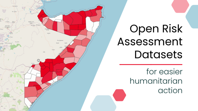
New open, ready-to-use global risk assessment datasets can simplify risk analysis by removing major technical barriers to data preparation. Designed for easy use with the Risk Assessment QGIS Plugin, the…
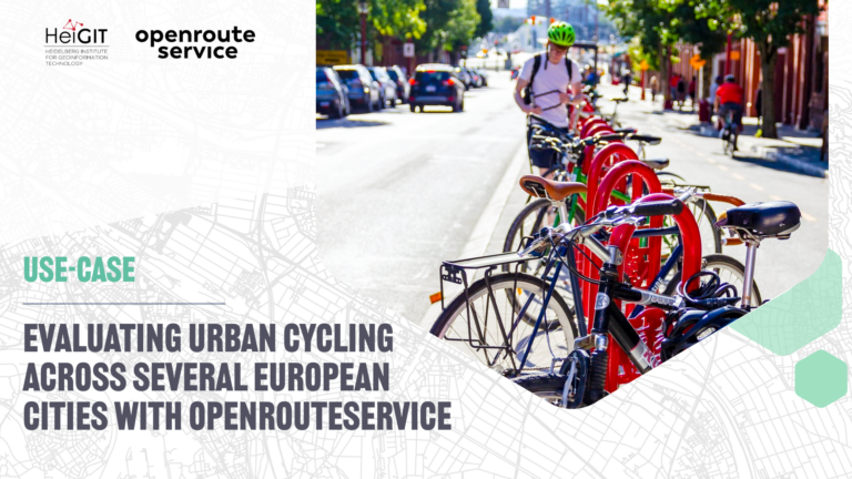
The study introduces a BIKE Index, a multi-dimensional framework for evaluating urban cycling conditions across cities. Built entirely on open datasets and open tools such as openrouteservice, the index provides…
The editorial for the special issue of Environment and Planning B: Urban Analytics and City Science delineates the scope of a collection of research articles centering on Urban Artificial Intelligence…
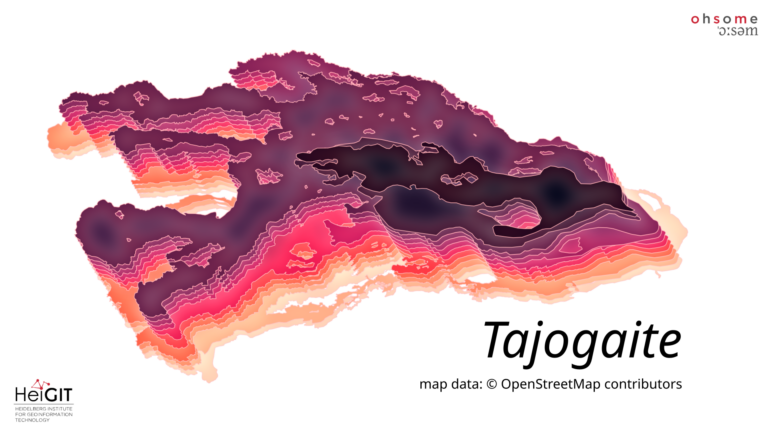
The latest release of ohsome-planet introduces Parquet files continuously derived from OpenStreetMap replication data. This eliminates costly reprocessing and allows seamless analysis of the full lifecycle of OSM data in…
In recent years, HeiGIT has dedicated time to experimenting with new ideas, technologies, and collaborations, free from the immediate pressure to deliver results. What started as a new experience has…
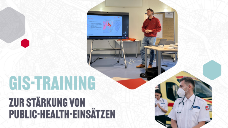
Geodatenanalysen sind von zentraler Bedeutung im Public-Health-Sektor, zum Beispiel bei Notfalleinsätzen und Krankheitsausbrüchen. Mit einer Pilot-GIS-Schulung haben wir gezeigt, wie Gesundheitsfachkräfte und Informationsmanager gemeinsam komplexe Daten in wirksame Entscheidungsgrundlagen überführen…
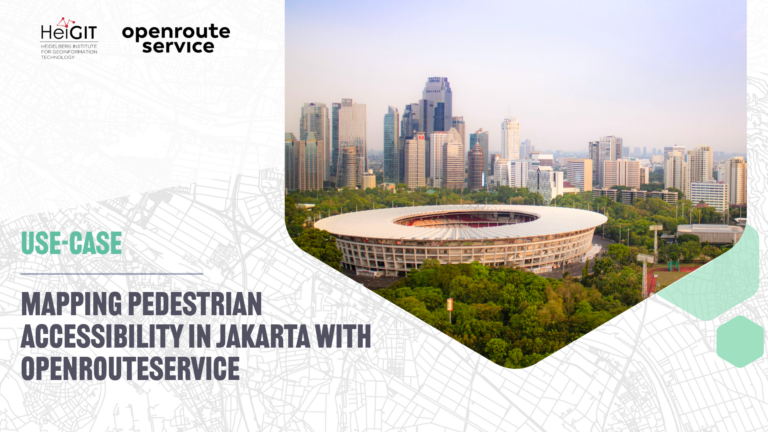
A recent study on cultural ecosystem service access in Jakarta used openrouteservice to map pedestrian accessibility to urban green spaces and reveal socioeconomic disparities in access….
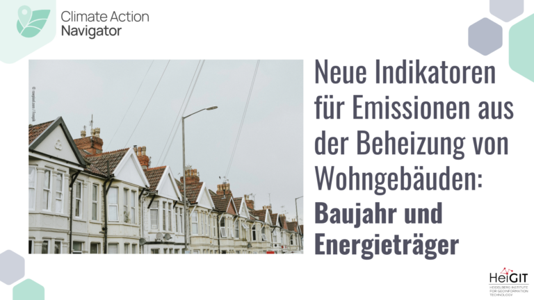
Das Modul “Heating Emissions” im Climate Action Navigator ermöglicht die Analyse der CO₂-Emissionen, die durch die Beheizung von Wohngebäuden entstehen. Wir haben das Modul nun um zwei neue Indikatoren für…
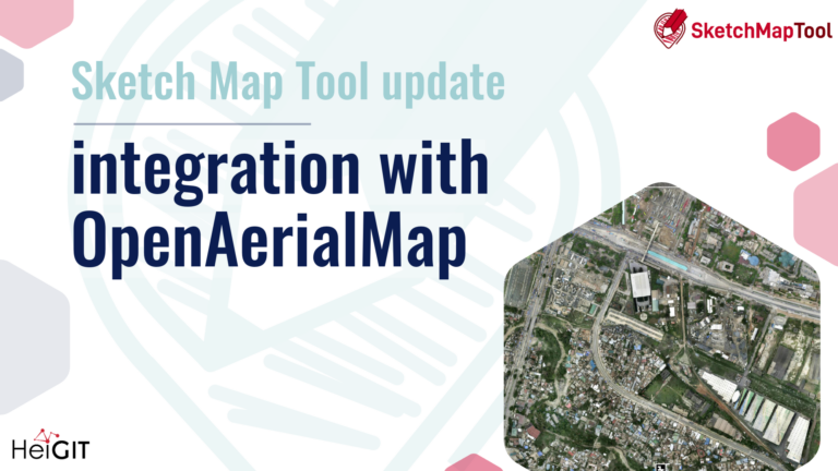
The latest update to the Sketch Map Tool introduces a direct integration with OpenAerialMap (OAM), making it easier to bring drone and aerial imagery into community and humanitarian mapping….