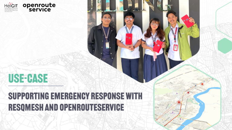
ResQMesh uses openrouteservice to find emergency response routes from the most recent location of a rescue team leader to where a civilian has reported distress….
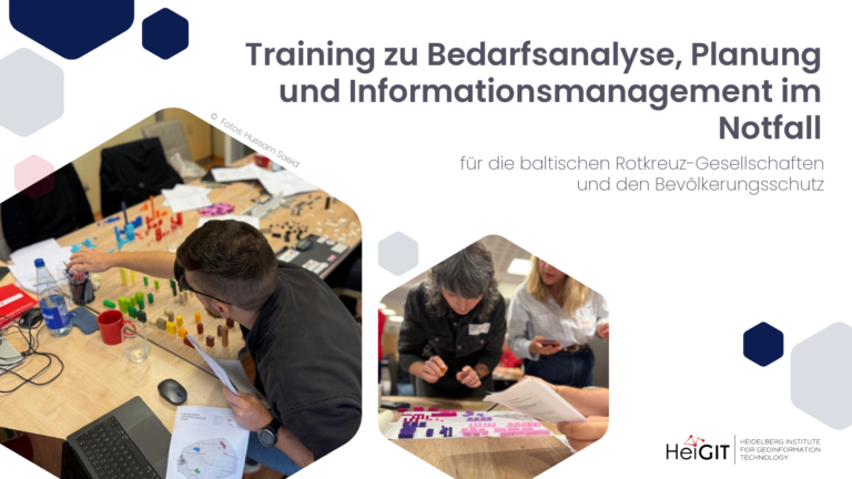
Ende August hat unser Kollege die technische Konzeption der Schulung zum Thema „Emergency Needs Assessment Planning and Information Management (ENAPIM)“ für die baltischen Rotkreuzgesellschaften und den Zivilschutz unterstützt und den…
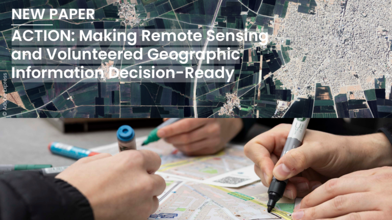
In a new perspective paper, the authors argue that geospatial decision-making suffers from a lack of workflows in which remote sensing (RS) and volunteered geographic information (VGI) meet before a…
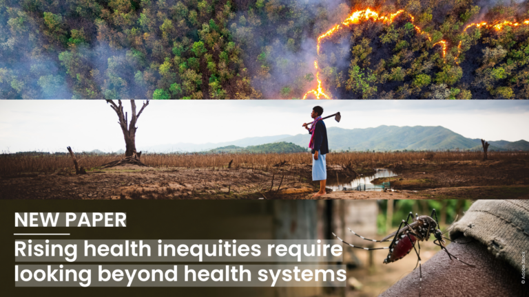
Global health inequity is increasingly driven by the triple planetary crisis of climate change, biodiversity loss, and pollution. Addressing this requires placing health at the center of climate and environmental…
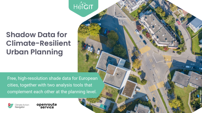
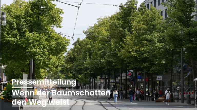
Free, high-resolution shade data for European cities, together with two analysis tools that complement each other at the planning level. With our tools we want to support local governments and…
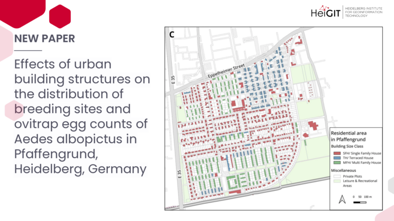
In response to the increasing abundance and spread of the invasive mosquito Aedes albopictus in Germany, this study examines how the effectiveness of control measures on breeding sites is influenced…
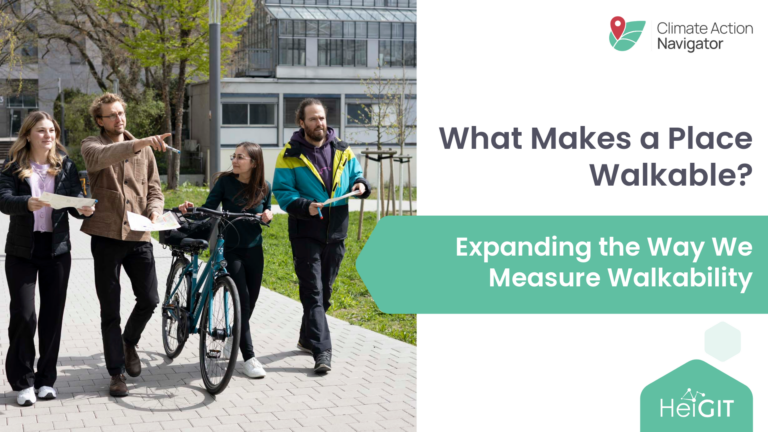
What makes a place walkable goes beyond whether a footpath exists. In collaboration with Walk21, HeiGIT has expanded its walkability assessment tool hiWalk with new indicators that capture some of…
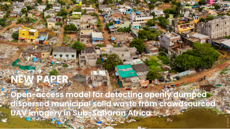
Openly dumped waste is a serious environmental and public health problem in many fast-growing cities, but small and scattered amounts of waste are often hard to track. A recent study…
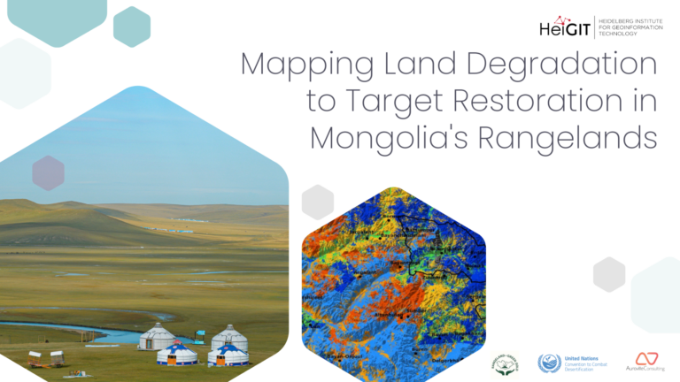
We combined Earth observation, an innovative custom-built deep-learning model, and spatial planning to map the condition of the rangelands around Töv province and Ulaanbaatar. The resulting maps provide actionable insights…
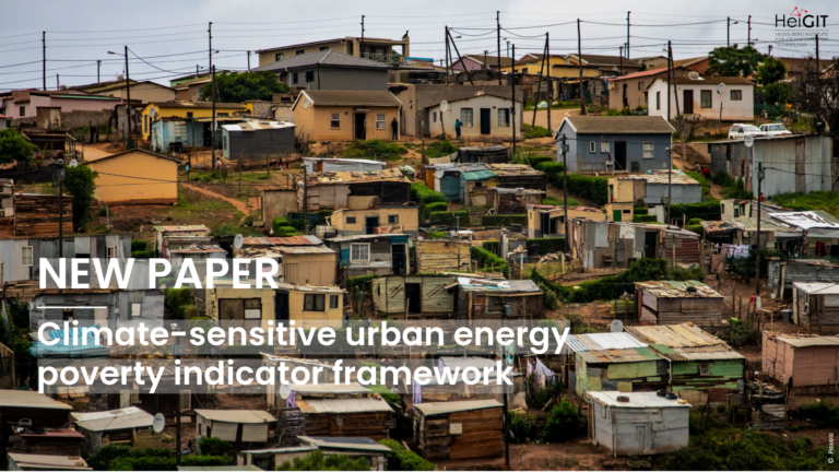
New paper published in Communications Sustainability, editorially selective open-access journal from the Nature Portfolio, presents the Climate-Sensitive Urban Energy Poverty Indicator Framework, which assesses household energy poverty under climate-sensitive urban…
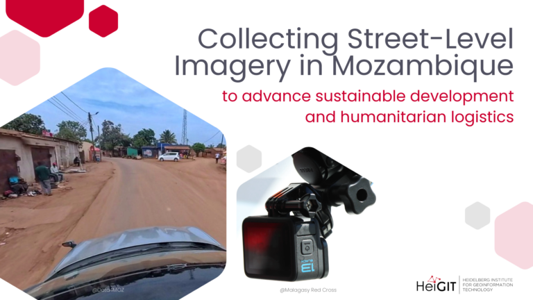
HeiGIT and Data4MOZ have launched a collaboration to collect street-level imagery in Mozambique, combining local field expertise with geospatial capacity to advance technologies for humanitarian logistics and actionable data for…
Indoor dwelling habitability affects health, comfort, and housing performance, but there is still no standardized approach for assessing it. This systematic review examines how the concept has evolved, which methods…
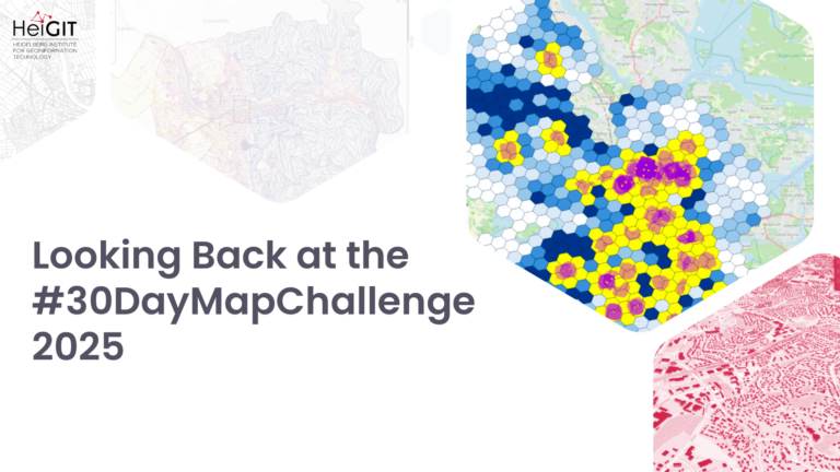
Each November, the #30DayMapChallenge invites people worldwide to create and share maps, with a new theme for every day of the month. Started in 2019 by Finnish geographer and cartographer…
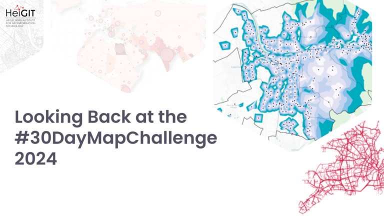
Every November, the #30DayMapChallenge encourages people around the world to make and share maps, with a different theme each day. Cartographer and geographer Topi Tjukanov started the challenge in 2019,…
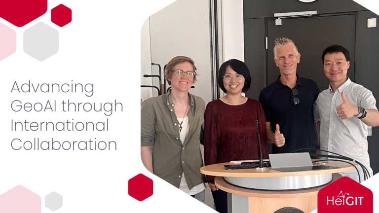
HeiGIT recently welcomed Prof. Dr. Wenwen Li and Prof. Dr. Song Gao for research visits focused on GeoAI, multimodal geospatial data, human mobility, and disaster response. Their visits strengthened international…
Last year, we published our initial roadmap toward ohsome 2.0, outlining a transition from our established OpenStreetMap History Database (OSHDB) toward a Postgres backend enhanced by PostGIS and Citus. This…
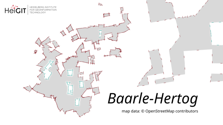
We are releasing version 1.3.1 of ohsome-planet under the codename „Baarle-Hertog“. This tool is designed to facilitate the transformation of raw OpenStreetMap (OSM) history data into the GeoParquet format, making…
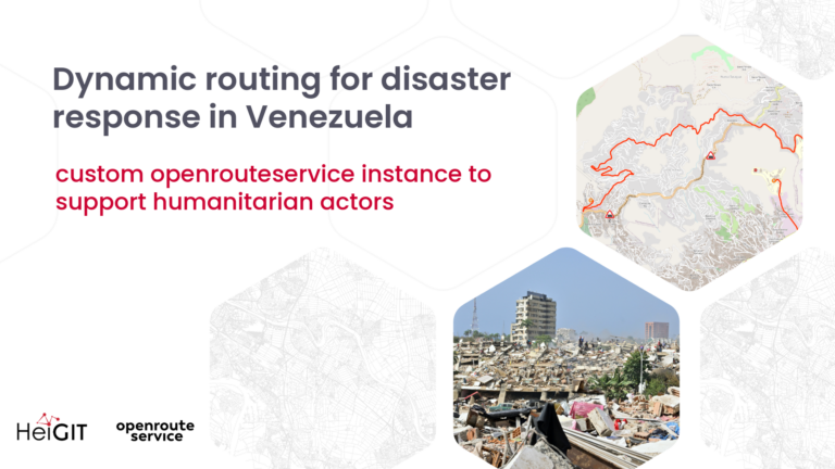
Following the catastrophic earthquakes in Venezuela on June 24, 2026, humanitarian organizations face a compromised operational landscape. With over 3,600 confirmed fatalities and tens of thousands missing, the immediate priority…
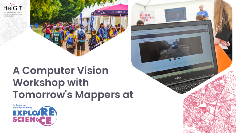
At Explore Science 2026, young students experimented with computer vision for humanitarian mapping: an occasion to learn how AI models are trained and why human input remains essential for generating…