Following the catastrophic earthquakes in Venezuela on June 24, 2026, humanitarian organizations face a compromised operational landscape. With over 3,600 confirmed fatalities and tens of thousands missing, the immediate priority…
At Explore Science 2026, young students experimented with computer vision for humanitarian mapping: an occasion to learn how AI models are trained and why human input remains essential for generating…
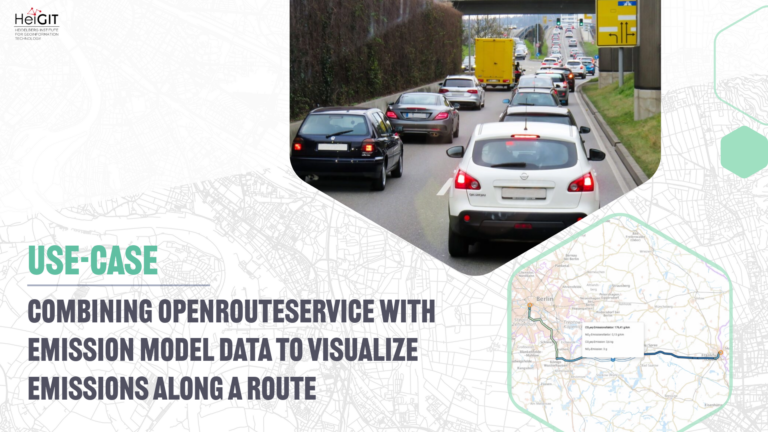
For well over a decade, our team has been transferring research to our ecosystems of mobility tools. These services are stable and maintained. Developing a dedicated public transit routing engine…
The Colombian Red Cross’s Disaster Risk Management (DRM) team works to mitigate the impact of emergencies and enhance community resilience throughout the country. Coordinating actions at both national and regional…
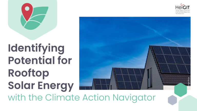
A new assessment tool has been released on the Climate Action Navigator: it shows where building rooftops are equipped with solar panels, highlighting potential for further sustainable energy production in…
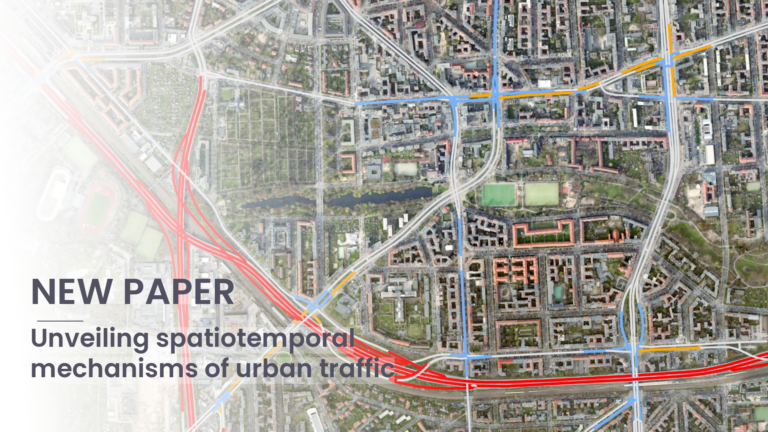
Public traffic speed data usually cover only some parts of city road networks. In this paper, the authors present a clear framework to estimate missing street-level traffic speeds in Berlin….
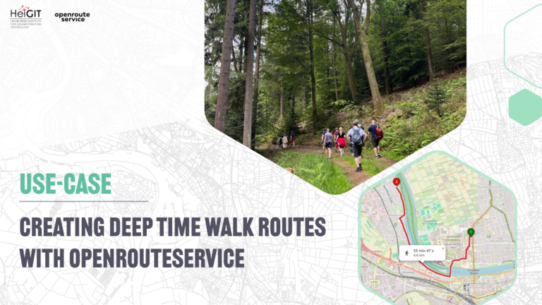
Deep Time Walk offers facilitated walks of 4.6 kilometers, where each meter represents one million years of our Earth’s history. To empower their global network of facilitators, their new Route…
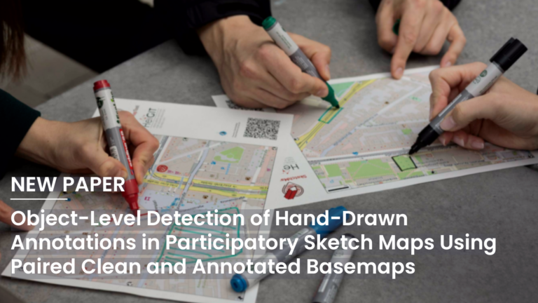
A new paper presented at the AGILE 2026 conference investigates how hand-drawn annotations in participatory sketch maps can be automatically extracted and digitized. The authors formulate annotation extraction as an…
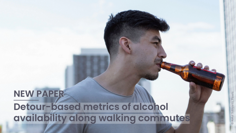
This study introduces detour-based indices for alcohol exposure along walking commutes. Survey data estimate detour budgets to assess path-based availability. Results show how different retail regimes affect exposure, informing effective…
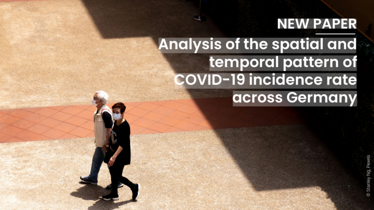
This study analyzes five socio-economic factors shaping COVID-19 incidence rates across the 400 German districts. A regression analysis using spatial eigenvector mapping indicates that socio-economic factors might influence incidence less…
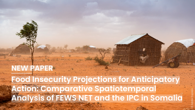
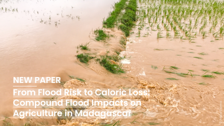
Food insecurity projections are a central component of anticipatory action frameworks, particularly in drought contexts. Presented at the AGILE 2026 conference, this paper compares FEWS NET and IPC food insecurity…
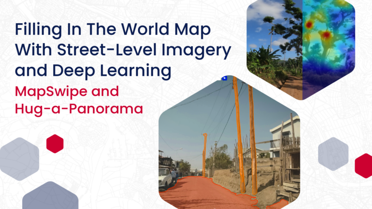
HeiGIT has been working with deep learning models and street-level imagery for some time, with the goal to contribute to “filling in the world map” by gaining high-resolution information about…
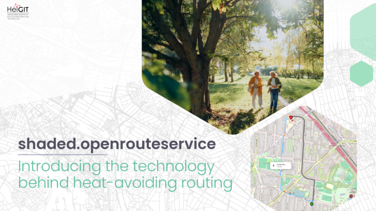
The origin In 2021, HeiGIT, the GIScience Research Group, and TdLab Geography launched HEAL (Heat Adaptation for Vulnerable Population Groups) – a transdisciplinary research project funded by the Baden-Württemberg Stiftung…
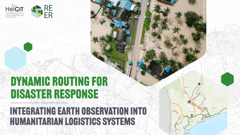
As disasters grow more frequent and complex, the REER project aims at supporting the operational needs of humanitarian organizations. By combining Earth Observation outputs with data from the ground, the…
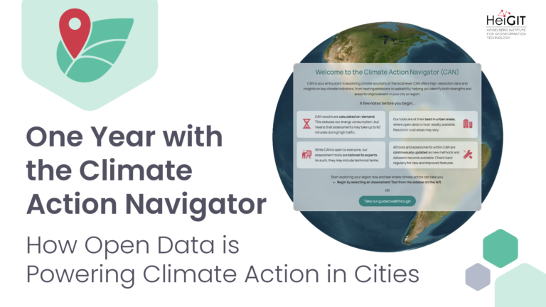
A year after its launch, the Climate Action Navigator has emerged as a growing open-data dashboard that helps cities, NGOs, and community initiatives target climate action through high-resolution assessment tools…
This study is based on Celina Thomé’s master thesis. It was presented at the ISCRAM 2026 conference, where it added to conversations about using data-driven methods to improve crisis management,…
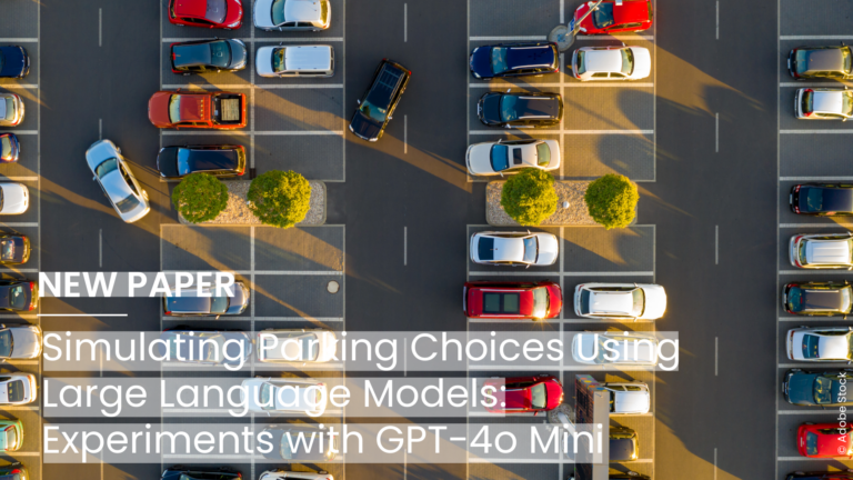
A new Open Access paper published in the volume Geography According to Foundation Models by IOS Press explores how Large Language Models could help design stated-preference studies in urban mobility…
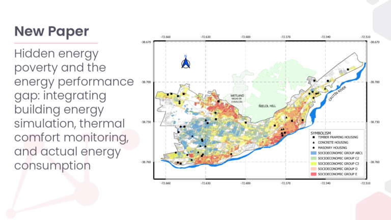
Hidden Energy Poverty (hEP) represents an underestimated form of energy vulnerability in which households consume less energy than required to achieve adequate indoor thermal comfort conditions. This phenomenon is particularly…
The new ohsome quality API (OQAPI) country reports are a meta-dataset designed to provide an overview of whether OpenStreetMap (OSM) data quality for a country or region of interest is…