Why Mongolia’s rangelands
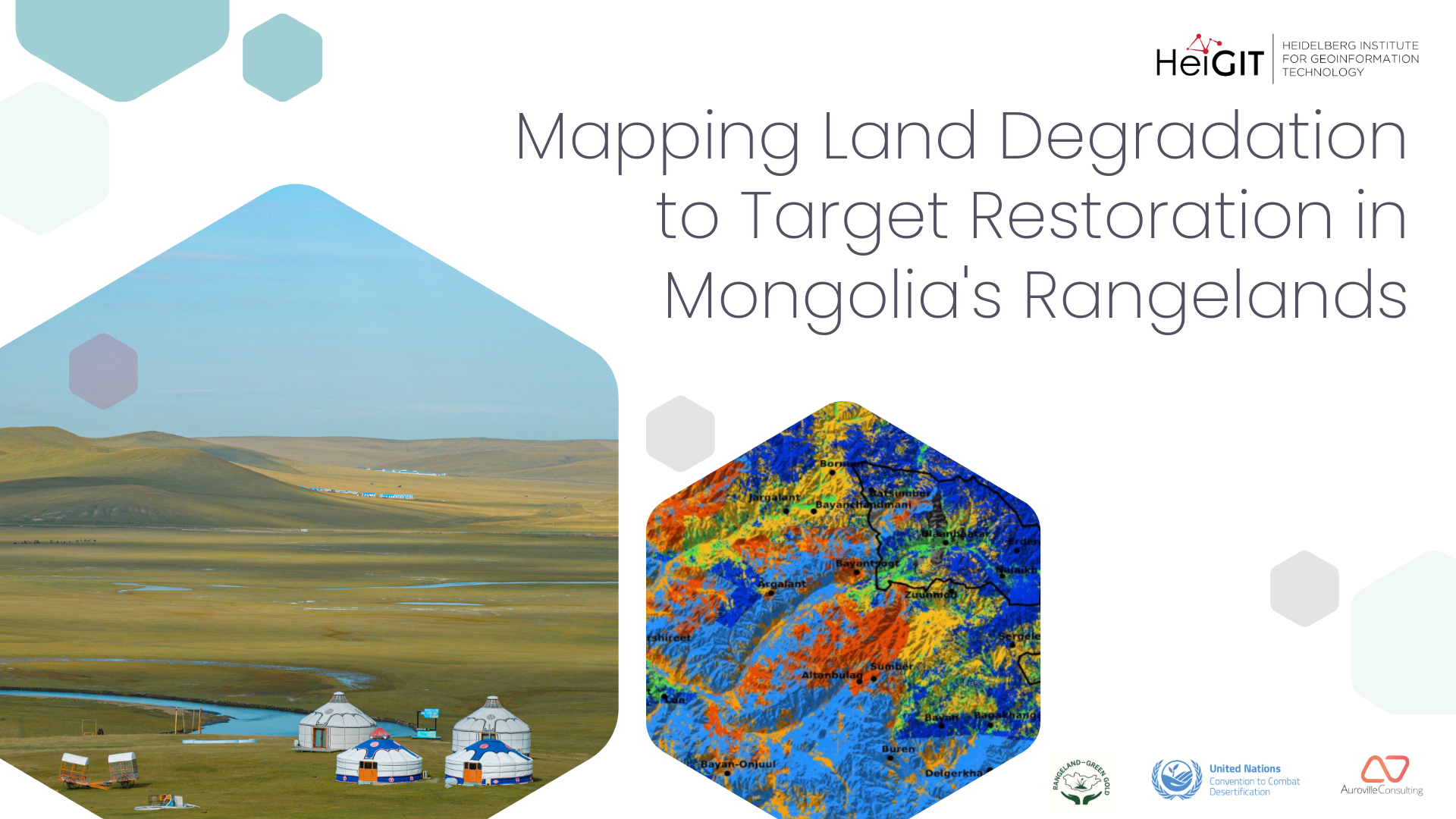
Land restoration sits at the intersection of climate action, water security, biodiversity, and community resilience. In Mongolia these pressures converge. Temperatures have risen at roughly three times the global average in recent decades, precipitation patterns are shifting, and large areas of rangeland have moved from healthy to altered conditions.
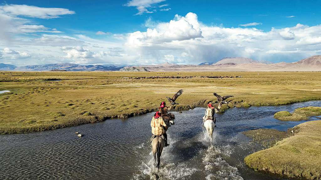
Mongolia’s rangelands range from productive steppe and mountain grasslands to dry steppe and heavily degraded areas, and each responds differently to climate, grazing pressure, and management. These landscapes also support pastoral communities whose livelihoods depend on healthy grazing systems, reliable water access, and seasonal mobility. Any restoration approach therefore has to fit both the ecological and the social reality of the landscape.
We selected the area around Töv and Ulaanbaatar because it combines very high livestock pressure, rapid urban expansion, and severe climate impact in one region.
Funded by the UN G20 Land Initiative, the project was led by HeiGIT led in collaboration with Auroville Consulting. Local stakeholders helped us interpret local challenges, understand herding practices, and access the data needed to keep the analysis grounded in real conditions.
A land cover map built for ecological gradients
Existing global land cover products fail to resolve the finer ecological details of this landscape. The ESA land-cover map essentially sees one color, one class — grassland. And if we look at Google’s Dynamic World, we see almost the opposite problem: a huge overestimation of cropland across these grasslands, much of which is simply incorrect. We therefore needed an approach that captures accurately the ecological gradients. For better contextualization, we give the model a deeper understanding of the landscape. We combine radar and multispectral satellite imagery with Google AlphaEarth embeddings, which are compact representations of environmental context learned from large volumes of global Earth observation data, and pass both through a custom deep learning model.
The resulting map separates dry steppe, real steppe, barren land, and sand from other conventional Land cover classes. The DL model uses a custom-built “smart fusion” architecture, developed from scratch to combine complementary data streams effectively. It uses lightweight encoders and an efficient decoder designed to preserve fine spectral details that are essential for distinguishing diverse landscapes.
If healthy rangeland cannot be reliably distinguished from degraded land, restoration cannot be reliably prioritized. So with better inputs we support better decisions. A high quality land cover map provides a solid foundation for the rest of our downstream analysis.
Turning Data into Actionable Priorities
From greenness to rainfall use efficiency
Vegetation greenness in Mongolia varies dramatically from year to year because it tracks rainfall closely. Total rainfall is low, and the ecosystem responds strongly to small variations in it. Using greenness alone would mean confusing climate variability with ecosystem degradation.
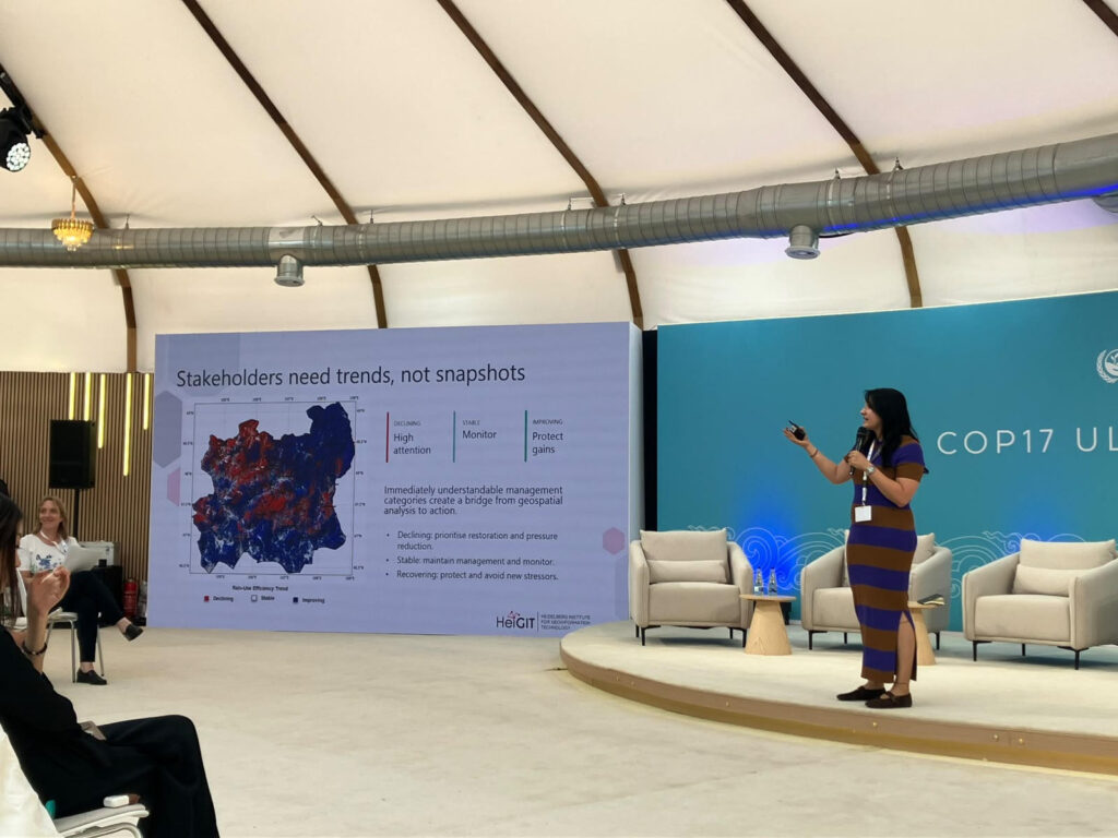
We therefore work with Rainfall Use Efficiency, which normalizes vegetation productivity by rainfall. It describes vegetation productivity to available rainfall, and persistent declines in it indicate ecosystem stress rather than a dry year.
We analyzed six years of Earth observation data and classified the resulting trends into three management categories. Declining areas become candidates for restoration, stable areas can be monitored and maintained, and recovering areas can be protected so that existing progress is not lost. In this way, satellite data becomes a decision-support system that helps understand where action is needed, where protection matters, and where restoration is already working.
Quantifying human pressure
Under the UNCCD framework, land degradation is an ecological process, which is also driven by persistent human pressure.
To capture this, we built a Social Pressure Index from three indicators, namely grazing intensity, how persistent that grazing pressure is over time, and population density as a proxy for longer-term human influence. Combined into a single normalized index, these indicators show where pressure is sustained and where targeted management is likely to be most useful.
Management Priority Action Zones
We then merge the land cover map, the ecosystem trend layer, and the Social Pressure Index into a single set of Management Priority Action Zones. The result translates the evidence into spatial priorities, showing where restoration should be accelerated, where healthy ecosystems should be protected, and where sustainable management can maintain resilient landscapes.
Three restoration opportunities
Degraded grazing land reduces vegetation cover, increases runoff, and accelerates soil erosion, which affects both ecosystem health and water security. We treat restoration, water management, and renewable energy as interconnected land uses, that can reinforce one another.
The LiLa tool combines geospatial and socio-economic data layers to assess unused land for its potential in solar energy, reforestation, and water management. We use it in a three-step screening process that narrows the landscape progressively, adding criteria at each step so that the shortlisted areas are environmentally suitable as well as feasible to manage and implement.
Responsible solar
Co-locating solar with grazing allows dual use of the same land and creates an opportunity to manage livestock numbers per unit area more deliberately. Evidence is also accumulating that well-designed solar installations create a favorable microclimate, including higher soil moisture beneath the panels, which matters a great deal in very dry areas. A second option is co-location with nature-based solutions, primarily shrub systems, which have a strong tradition in Mongolia, and potentially with swales and water harvesting ponds. Commercial viability shapes the screening criteria, so access to roads and to power evacuation infrastructure is included from the start.
Mongolia’s current electricity demand is around 12 TWh per year. Meeting all of it from solar would require roughly 0,007 TWh of capacity, equivalent to about 200 km² of land. Our screening identifies more than 7,000 km² of technically suitable grassland and dryland. Prioritizing grasslands and drylands with a high Social Pressure Index reduces this to roughly 4,000 km², corresponding to a solar potential of around 25 GW. This indicates a considerable potential for Mongolia to a do responsible land use and solar generation while even becoming an export of solar energy.
Off-road water ponds
Stakeholders told us that grazing concentrates around the few places where water is available, and that these grasslands are consequently the ones under greatest stress. Small ponds placed on degraded land in micro-catchments where runoff can be intercepted, slow that runoff, store water, support vegetation recovery, and spread grazing pressure away from overused access points. Paired with controlled access and vegetation measures, they distribute pressure instead of creating new concentration points.
The study area receives around 240 mm of precipitation per year, 80 percent of it in summer. Renewable freshwater resources amount to 34.8 km³ per year, and around 71 million head of livestock depend on them.
Roadside blue-green infrastructure
Road drainage currently accelerates runoff and local erosion, delivering water to adjacent land in destructive pulses rather than usable spread. Shallow swales, small roadside ponds, check structures, and shrub and tree belts turn road edges into linear infiltration and erosion control systems instead. We prioritize paved sections where roads cross degraded land and where roadside management zones show low social pressure. With a total road network of around 112,000 km, of which roughly 9,000 km is paved, the cumulative potential is considerable.
From opportunity to action
Our research circles around targeting interventions that turn technical inputs into actionable insights. Mapping land condition and its drivers, then ranking locations by ecological need, technical suitability, safeguards, and feasibility, serves one purpose, which is to find the places where a single investment can facilitate multiple ecological benefits. Where responsible solar, water harvesting, and blue-green infrastructure meet in the same priority area, restoring land also strengthens water security, clean energy access, climate resilience, and local livelihoods.
The three pathways described here are drawn from approaches that have worked elsewhere. The aim is for Mongolia to build on these examples while accounting for its own pressures and opportunities.
The maps are openly available at: Mongolia Geospatial Map
We hope that these maps will be taken up by local communities, practitioners, and decision-makers, helping to transform landscape challenges into opportunities that deliver both ecological and economic benefits for the people of Mongolia.