According to a recent post by NASA, researchers at NASA’s Goddard Space Flight Center in Greenbelt, Maryland, calculated the time that could have been saved if ambulance drivers and other emergency responders had near-real-time information about flooded roads, using the 2011 Southeast Asian floods as a case study. This was the first NASA study to calculate the value of using satellite data in disaster scenarios, Ready access to this information could have saved an average of nine minutes per emergency response and potential millions of dollars, they said.
In particular, the researchers used HeiGIT’s OpenRouteService’s navigation service to chart the most direct routes between emergency dispatch sites and areas in need, without flooding information. Then they added near-real-time flooding information to the map, generating new routes that avoided the most highly flooded areas.
The study finds that direct routes contained about 10 miles’ worth of flooded roadways in their recommendations. In contrast, the routes with flood information were longer, but avoided all highly flooded areas and contained just 5 miles of affected roadways. This made the flood-aware routes about 9 minutes faster than their baseline counterparts on average.
Further information:
Oddo PC and Bolten JD (2019) The Value of Near Real-Time Earth Observations for Improved Flood Disaster Response. Front. Environ. Sci. 7:127. doi: 10.3389/fenvs.2019.00127
https://www.nasa.gov/feature/goddard/2019/nasa-space-data-can-cut-disaster-response-times-costs
![]()
Related work:
Neis, P., Singler, P. & Zipf, A. (2010): Collaborative mapping and Emergency Routing for Disaster Logistics – Case studies from the Haiti earthquake and the UN portal for Afrika. In: Car, A., Griesebner, G. & Strobl, J. (Eds.): Geospatial Crossroads @ GI_Forum ‘10. Proceedings of the Geoinformatics Forum Salzburg.
Schmitz, S., Neis, P. & Zipf, A. (2008): New Applications based on Collaborative Geodata – the Case of Routing. XXVIII INCA International Congress on Collaborative Mapping and SpaceTechnology, Gandhinagar, Gujarat, India.
Neis, P. & Zipf, A (2008): OpenRouteService.org is three times “Open”: Combining OpenSource, OpenLS and OpenStreetMap. GIS Research UK (GISRUK 08). Manchester.
Related recent News:
- Openrouteservice-jupyter-example-about-fleet-scheduling-for-disaster-response-with-ors-and-vroom/
- Openrouteservice-for-disaster-management-response-to-cyclone-idai/
- Jupyter-notebook-combining-twitter-data-and-openrouteservice-directions-api/ for Elbe flood example
- Openrouteservice-for-disaster-management-supporting-humanitarian-logistics-with-hourly-updates/
- Openrouteservice-version 6,0-ganymede has been published with new fast and flexible routing algorithm
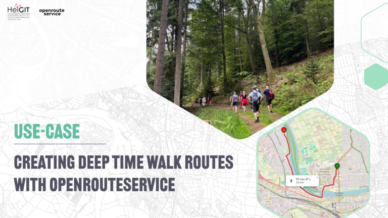
- Generating-customized-pleasant-pedestrian-routes-based-on-openstreetmap-data/
- Openrouteservice-with-waypoint-optimization/