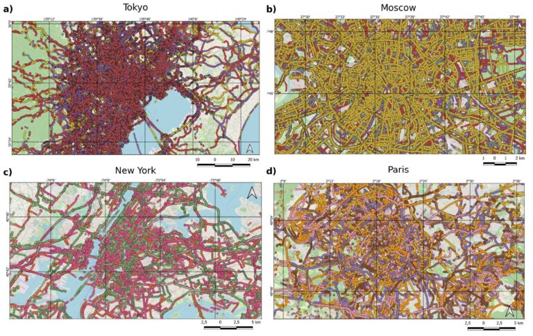
A new global dataset released by the HeiGIT (Heidelberg Institute for Geoinformation Technology) makes it possible to distinguish between paved and unpaved roads worldwide with unprecedented consistency. Derived from high-resolution…
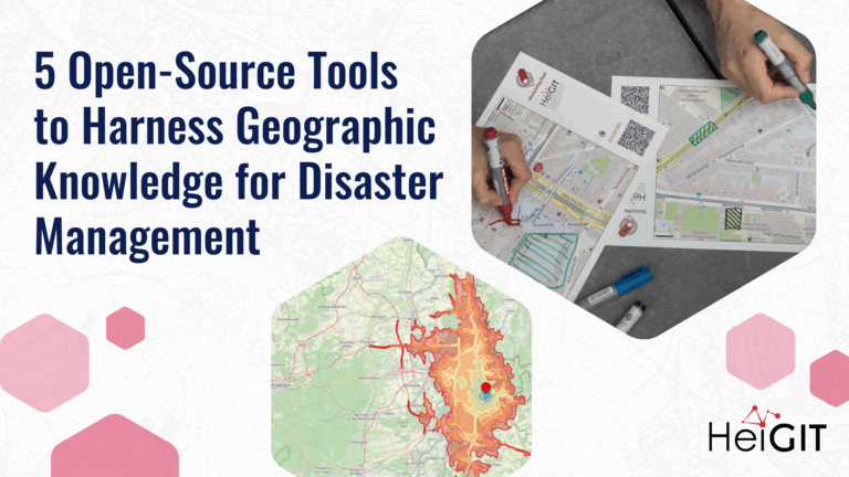
Volunteered Geographic Information (VGI) is a valuable resource for an effective disaster management. This article presents five free tools to enhance humanitarian work using VGI. What is VGI and why…
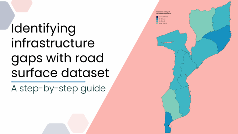
This blog post introduces a step-by-step tutorial for working with a global road surface dataset. Using open-source tools, the tutorial demonstrates how to identify infrastructure gaps by combining road surface…
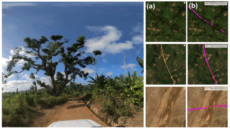
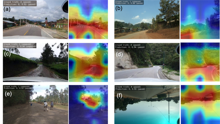
The paper addresses the global shortage of detailed road surface data by leveraging street-view imagery from Mapillary and advanced deep learning techniques. Traditional datasets like OpenStreetMap (OSM) often lack comprehensive…
Researchers at HeiGIT (Heidelberg Institute for Geoinformation Technology) have publicly released a first of its kind planet-scale dataset on road surface type (paved or unpaved) using state-of-the-art GeoAI methods based on…