Last week, HeiGIT team member Anne Schauß held a workshop session in Kuala Lumpur, Malaysia, during a training of the International Federation of Red Cross and Red Crescent Societies (IFRC). The international training focused on community resilience and how to assess vulnerabilities and capacities in South and East Asia. HeiGIT showcased the Sketch Map Tool as a means to digitalize mapping initiatives that can reduce risks and improve community resilience in regard to climate change, natural disasters and urban challenges.
The IFRC Asia-Pacific Regional Office (APRO) together with the British Red Cross (BRC), the German Red Cross (GRC), and the Asia Pacific Disaster Resilience Center (APDRC) have conducted two regional trainings of trainers in Kuala Lumpur. One of the trainings took place between the 8th and 12th of May 2022 and revolved around the topic “Road Map to Community Resilience via Enhanced Vulnerability and Capacity Assessment (R2R via EVCA)”.
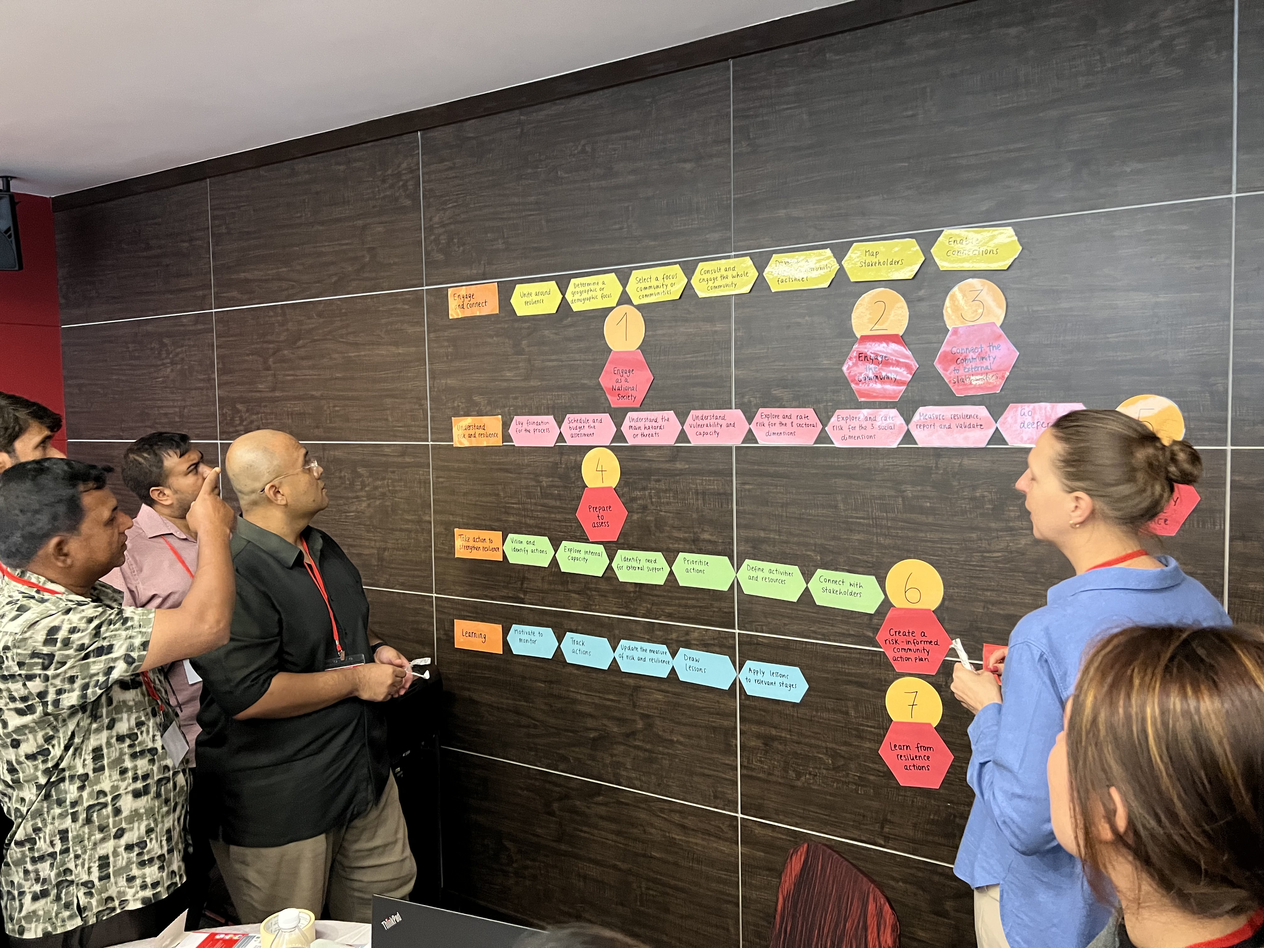
The trainings targeted delegates of the International Federation of Red Cross and Red Crescent Societies (IFRC) and staff from Asia National Societies. Among the participants were people working in National Societies for disaster risk reduction or climate change as well as trained staff experienced in facilitating and applying participatory tools within communities. The participants learned how to train others in working with communities on risk reduction and resilience strengthening on topics such as climate change, natural and urban environments, inclusion, gender, diversity, and others.
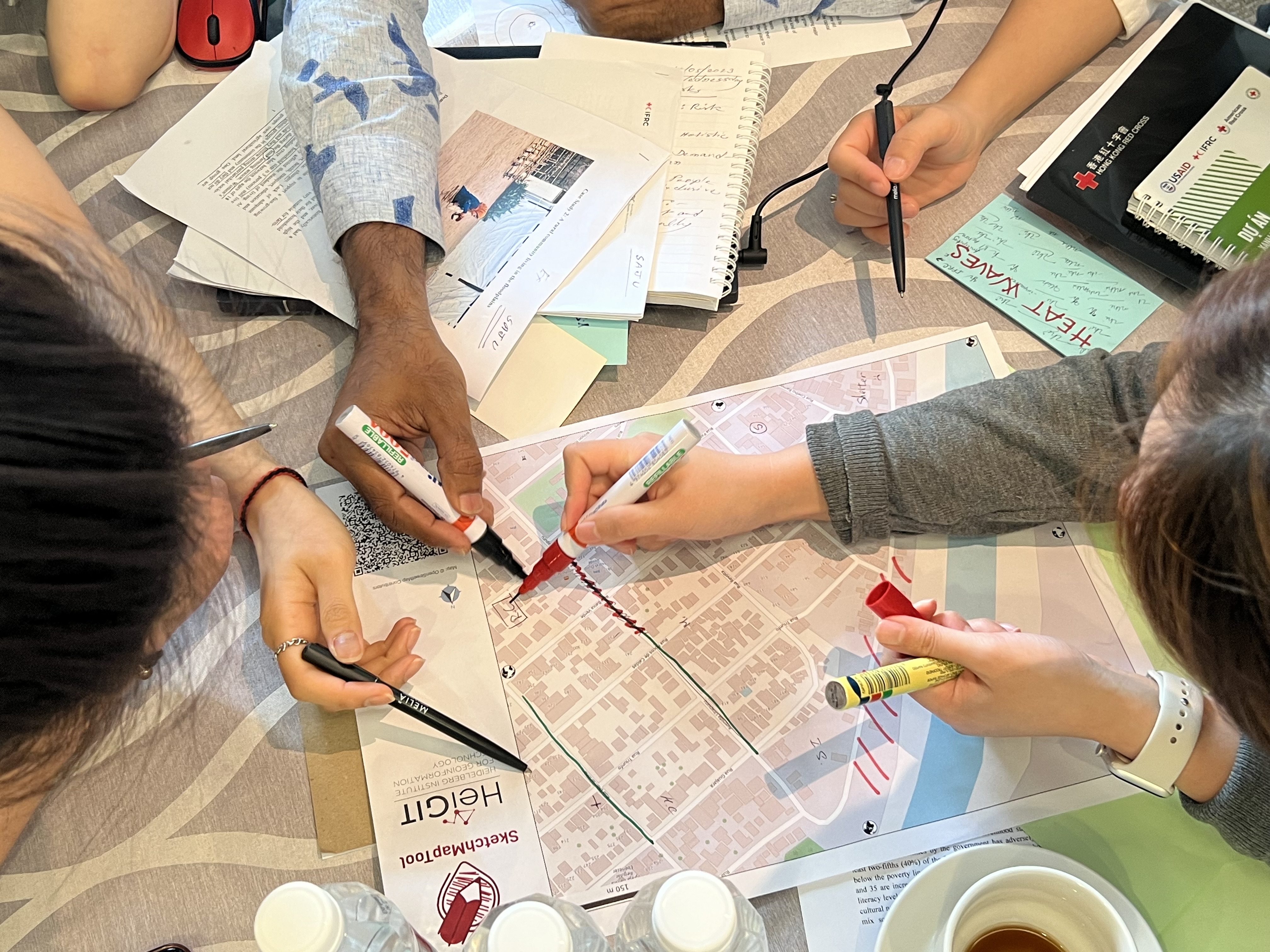
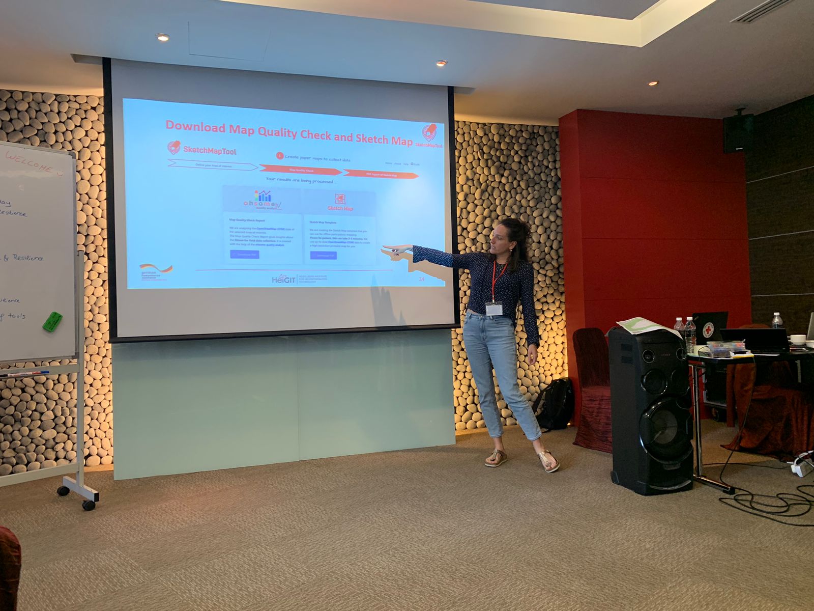
Participatory mapping initiatives are one key step to improving vulnerability and capacity assessment at community level. In a dedicated session, Anne Schauß from HeiGIT showcased tools and methods to digitalize and optimize mapping efforts and improve data quality.
The session focused on the open-source Sketch Map Tool, which makes it is easy for workers on the ground to collect local spatial knowledge with pen and paper with OpenStreetMap (OSM) as background. In a hands-on exercise, the participants simulated a participatory mapping activity in a community using the Sketch Map Tool. The mapping results were uploaded and discussed in the group.
Other session topics were the potential of OpenStreetMap data as well as the possibility to organize crowdmapping events like mapathons in order to improve data quality. Potential applications and usage of collected data combined with OSM data were showcased, such as the Disaster Portal a tool that can provide up-to-date information for planning routes when roadways are inaccessible due to floods or earthquakes.
Facilitator and participant Anne Schauß, who works on Geoinformation for Humanitarian Aid at HeiGIT, stated that “it was amazing to see how practitioners valued the Sketch Map Tool for their work on the ground. Overall, we received very positive feedback and several Red Cross and Red Crescent National Societies are now planning to implement the tool in the near future”.
Anne continued, “The trainings were a great opportunity to learn more about the EVCA process and gather ideas about how we as HeiGIT could support the digitalization of EVCA tools in order to make the data analysis, storage and documentation more efficient”.