In the face of growing humanitarian challenges, geoinformation plays a vital role in enhancing both crisis response and community resilience. Our research and digital technologies support humanitarian work in all its stages: from risk assessments and capacity-building training to strengthen disaster preparedness, to local engagement and crowdmapping to fill existing data gaps, and finally to dynamic data and routing solutions to assist humanitarian efforts during and after disasters.
The Anticipatory Action approach shifts the focus from reactive to proactive measures in humanitarian aid, using data analysis to trigger action before a disaster occurs.
We support Anticipatory Action by providing scientific studies, geospatial datasets, and risk assessment tools, as well as offering technical expertise for the development of trigger workflows and facilitating knowledge transfer to local humanitarian organizations.

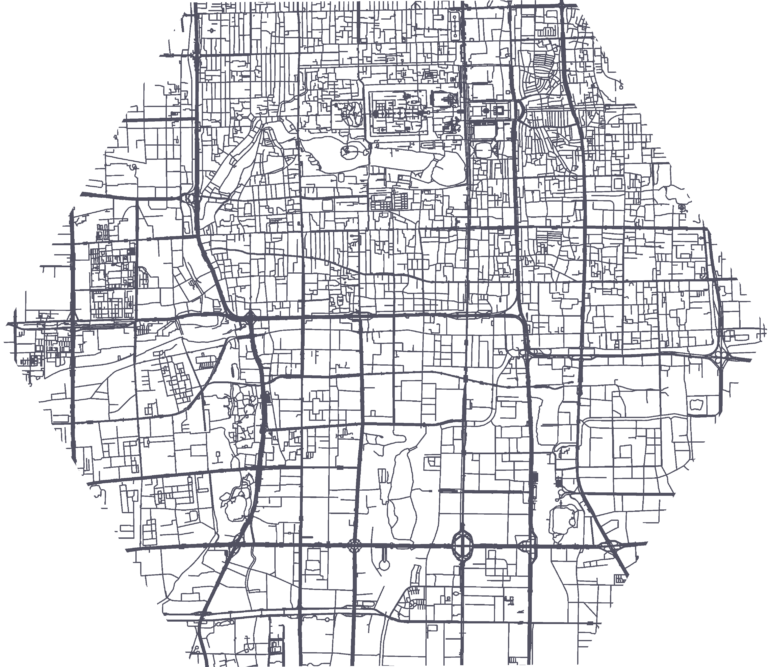
The Disaster Risk Composer enables decision-makers to rapidly identify priority areas for Anticipatory Action interventions, with a dashboard that visualizes the spatial distribution of risk from hazards such as floods, droughts, and cyclones.
Users can either use aggregated global datasets on disaster risk automatically provided by us, or fully customize the risk assessments with their own datasets.
We support the development of Anticipatory Action workflows with local data collection, historical impact analysis, risk assessments, and trigger workflows to define early action.
We work closely with local organizations and offer trainings for GIS capacity building, ensuring that our partners have all the tools and knowledge they need to carry on and scale these efforts independently.
We simplify crowdmapping efforts with:

Simpler Data Collection: Our tools align with open-source frameworks to simplify complex data processing tasks, from vulnerability assessments to Early Action Protocols.
Advanced Technologies: By incorporating machine learning methods, we improve mapping processes and datasets for humanitarian action.
Sketch Map Tool is an intuitive, simple tool for participatory in-field sketch mapping through the offline collection, digitization and georeferencing of local spatial knowledge. It enables community mapping for disaster preparedness, urban planning, and environmental monitoring, and can be used by mappers with no technical expertise.
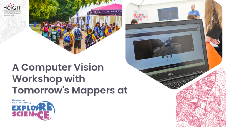
MapSwipe is an open-source app that enables humanitarian organizations to coordinate global, remote mapping sessions based on satellite and street-level imagery. We support MapSwipe by developing and maintaining the web app and back-end tools. Beyond the humanitarian domain, the app’s use cases include citizen science initiatives and environmental monitoring.
Comprehensive, up-to-date data and flexible solutions are essential for effective decision-making in humanitarian operations.
We bridge existing data gaps by integrating state-of-the-art machine learning and deep learning methods in our research.
We work closely with humanitarian organizations to create spatial data and routing solutions tailored to manage logistics challenges on the ground.
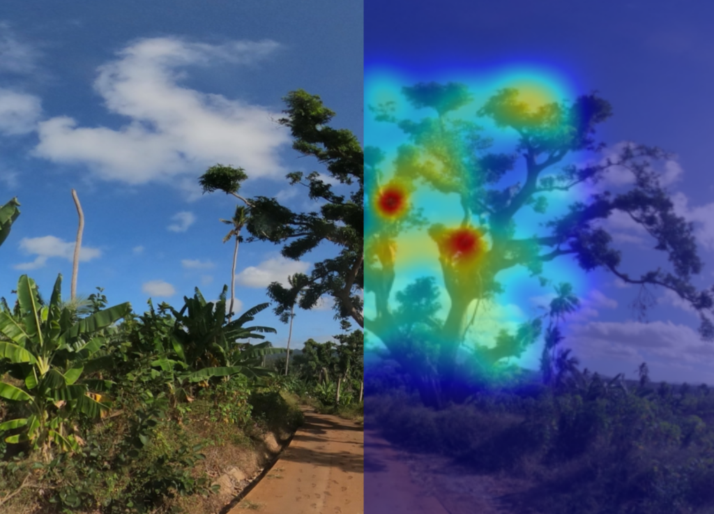
A global road surface dataset that distinguishes paved and unpaved roads worldwide, using deep learning models trained on crowdsourced satellite imagery.
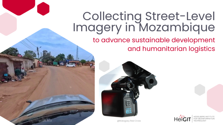
A collaborative collection of street-level imagery on Panoramax. The images are collected on the field and processed for object detection, image classification, and attribute extraction.
An AI-driven, weather-adaptive routing system for unpaved roads that predicts road passability, factoring in road pavement classification and weather conditions.
A flexible routing solution that integrates openrouteservice routing with dynamic, custom data from missions on the ground to support humanitarian and logistics operations.
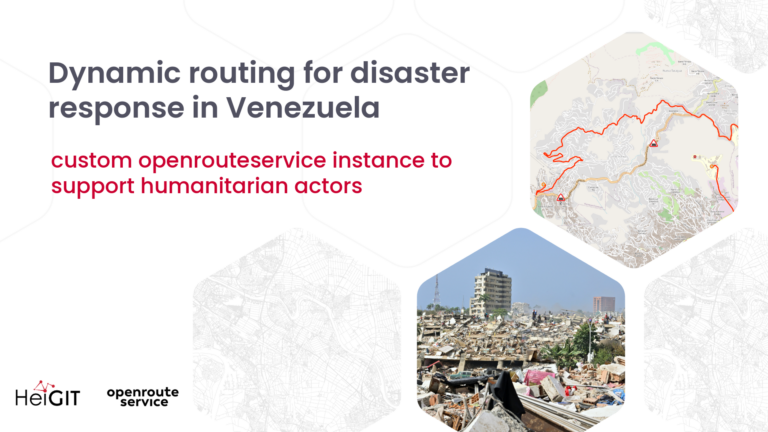
Following the catastrophic earthquakes in Venezuela on June 24, 2026,…
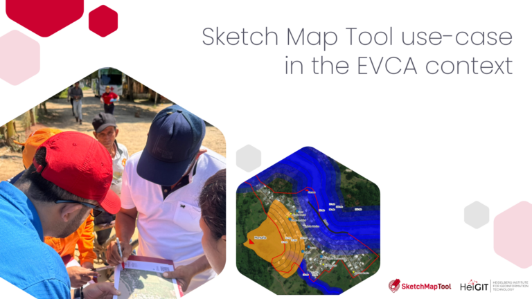
The Colombian Red Cross’s Disaster Risk Management (DRM) team works…
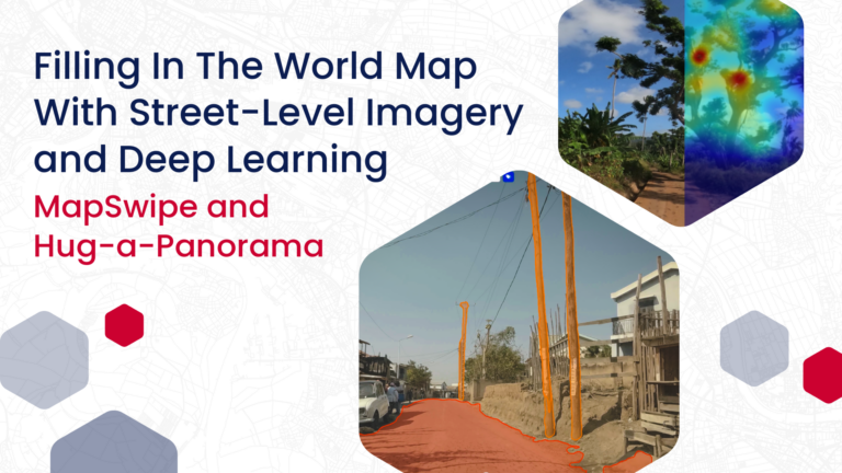
HeiGIT has been working with deep learning models and street-level…