The Colombian Red Cross’s Disaster Risk Management (DRM) team works…
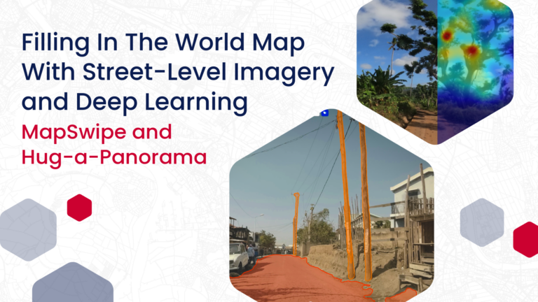
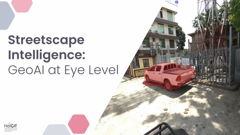
HeiGIT has been working with deep learning models and street-level…
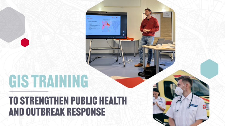
In 2023, a shared vision emerged to make geospatial skills…
Numbers alone do not show whether a child can reach…
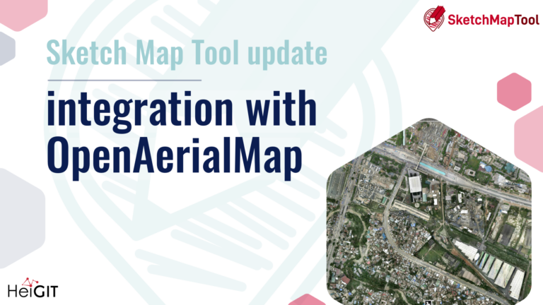
The Sketch Map Tool was strategically used within Colombia’s National…
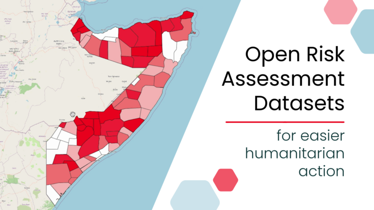
A new global dataset released by the HeiGIT (Heidelberg Institute…
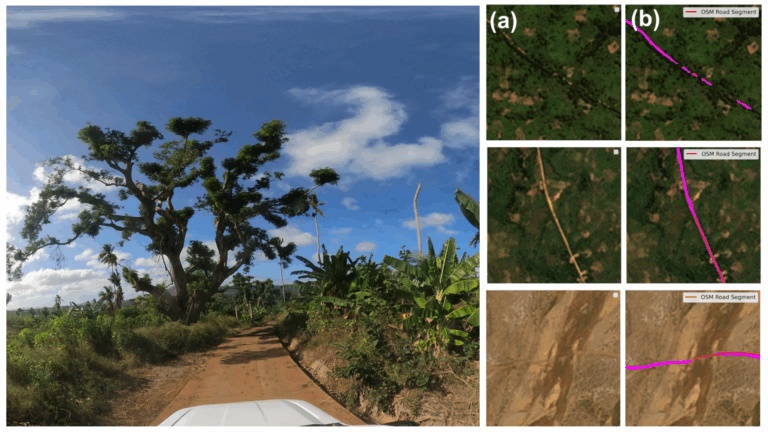
Crowdsourced street-level imagery can be used to detect and map…
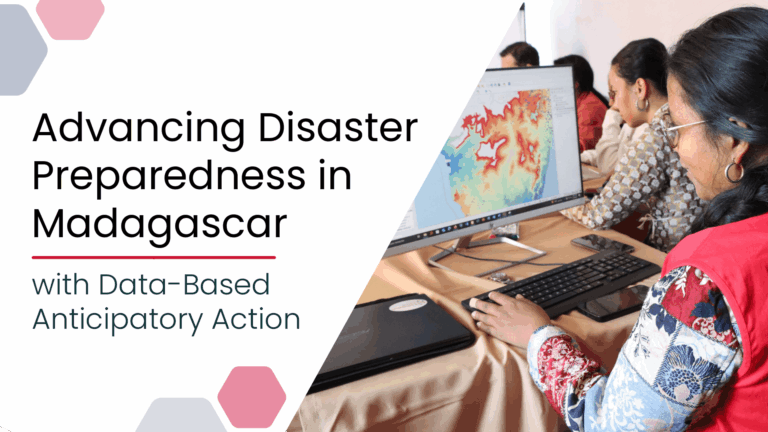
Anticipatory Action (AA) is becoming an increasingly vital approach in…
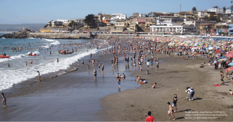
The Sketch Map Tool was used in Cartagena, Chile, to…