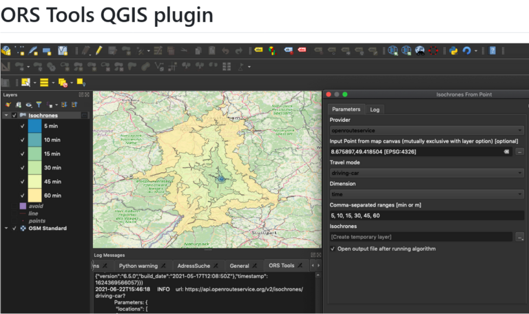
Das openrouteservice Team freut sich, pünktlich zum neuen Jahr die Veröffentlichung des ORS Tools QGIS Plugin v1.7.0 bekanntgeben zu können! Es hat sich einiges getan. Zunächst wurde das GUI überarbeitet:…
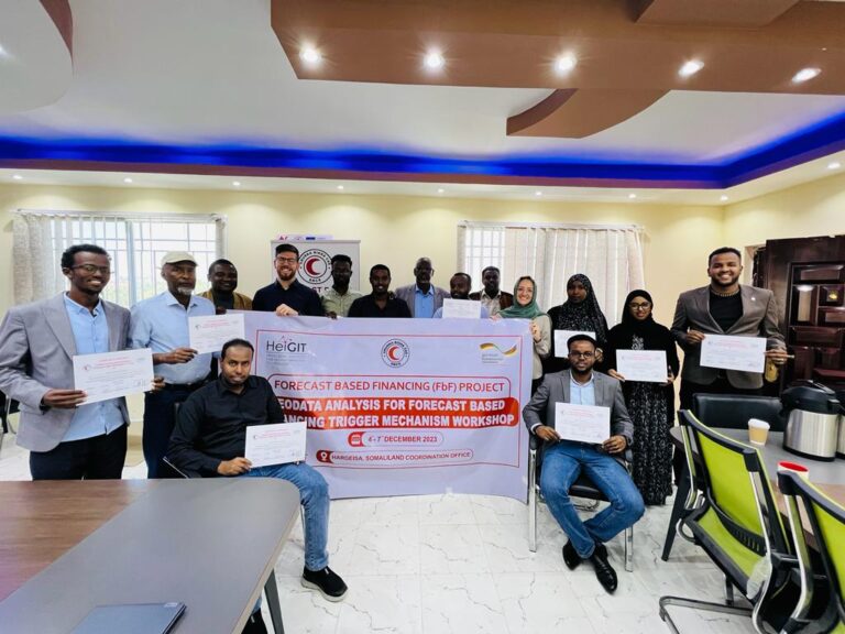
Since 2022, HeiGIT is providing technical support to the Somali Red Crescent Society (SRCS) in Somalia. The objective was the development of an Early Action Protocol (EAP) for droughts in…
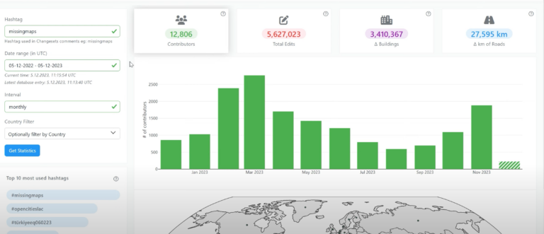
Heute möchten wir das Online-Tool OhsomeNowStats vorstellen. OhsomeNowStats ermöglicht es den Nutzern, einen Blick auf die Kartierungsaktivitäten in OpenStreetMap zu werfen. Dies ist besonders für humanitäre Organisationen und Organisatoren von…
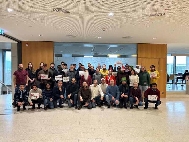
As 2023 is coming to an end, we would like to take the opportunity to look back at this eventful year and appreciate the advance that HeiGIT has made towards…
The HeiGIT team recently secured the top position in the third edition of the Open Source Software for Sustainable Development Goals (OSS4SDG) hackathon. These hackathons are based on the 17…
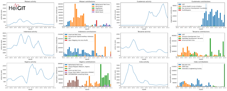
Introduction In this blogpost we are taking a look at humanitarian mapping through the Tasking Manager (HOT-TM) that is operated by the Humanitarian OpenStreetMap Team (HOT). At HeiGIT we work…
We would like to congratulate Dr. Christina Ludwig on successfully defending her PhD on how to map urban green spaces using OpenStreetMap (OSM) data last month. In her thesis Christina…
HeiGIT and the Amsterdam University Medical Centers (UMC) partnered up to investigate food environments through the lens of OpenStreetMap (OSM) data. UMC analyses how exposure to different categories of food…
The completeness of the OpenStreetMap (OSM) road network has been an ongoing focus for researchers for more than 15 years. For instance, Neis et al. (2011) investigated the OSM street…
Am 5. und 6. Oktober 2023 hat in Frankfurt am Main die XP Days Germany 2023 stattgefunden, eine offene Konferenz für Agile Softwareentwicklung und Extreme Programming mit Fokus auf Softwareentwicklungsthemen….
HeiGIT Scientific and Managing Director Prof. Dr. Alexander Zipf and HeiGIT Chief Scientist Adj. Prof Dr. Seven Lautenbach attended the 4th International Land Use Symposium at CEPT University in Ahmedabad,…
For various reasons biking is becoming a more frequently used mode of transportation. It offers flexibility, is quite cheap compared to other modes of transportation, helps with fitness and is…
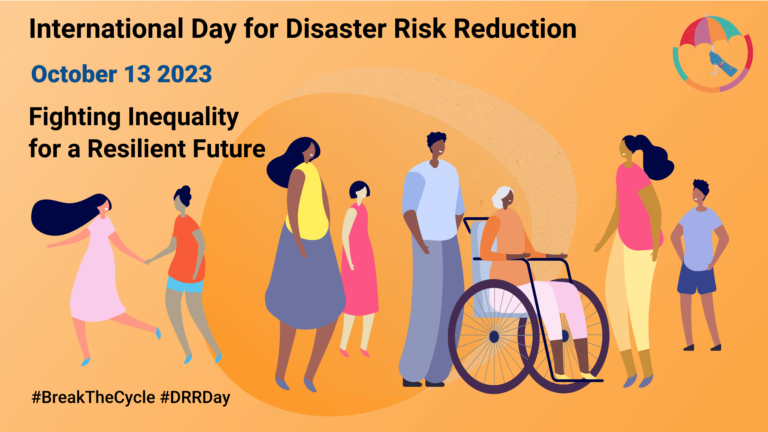
Wusstest du, dass der 13. Oktober „International Day for Disaster Risk Reduction (IDDRR)“ – der Internationale Tag für die Reduzierung des Katastrophenrisikos ist? Seit 1989 nutz das Büro der Vereinten…
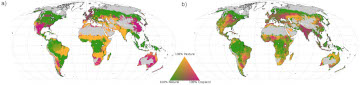
Nahrungsmittelproduktion neu geordnet: Wie wir die Vegetationszonen auf unserem Planeten effizienter nutzen können Stell dir vor, man könnte die Menge der auf unserem Planeten angebauten Pflanzen nahezu verdoppeln und gleichzeitig…
Das Sketch Map Tool (SMT) geht dank Unterstützung durch das Deutsche Rote Kreuz (DRK) und das Auswärtige Amt in die nächste Projektphase. Unsere Hauptziele in dieser Phase sind es, neben…
Die HeiGIT- und GIScience-Mitglieder Adam Rousell, Anne Schauss, Christina Ludwig und Nir Fulman wurden eingeladen, ihre Arbeit auf der 12. „International Conference on Geographic Information Science“ in Leeds vorzustellen. Die…
Beim Katastrophenmanagement ist Zeit das A und O. Schnell und präzise zu reagieren kann den Unterschied ausmachen, wenn es darum geht, Leben zu retten und Schäden zu begrenzen. Der nächste…
Ein großes Ziel für das HeiGIT und insbesondere für das ohsome-Team ist es, wertvolle Einblicke in OpenStreetMap (OSM)-Daten zu geben. Die ohsome API bietet aggregierte Statistiken über die Entwicklung von…
Until recently, Nina Krašovec was a research assistant at the GIScience research group. This article is the result of an interview, where she spoke about her work at the time…
Hast du gewusst, dass man jetzt von der Taginfo-Seite von OpenStreetMap(OSM) auf das ohsome Dashboard zugreifen kann? Das ermöglicht detaillierte Einblicke in die Nutzungsstatistiken von spezifischen Keys und Tags. Taginfo…