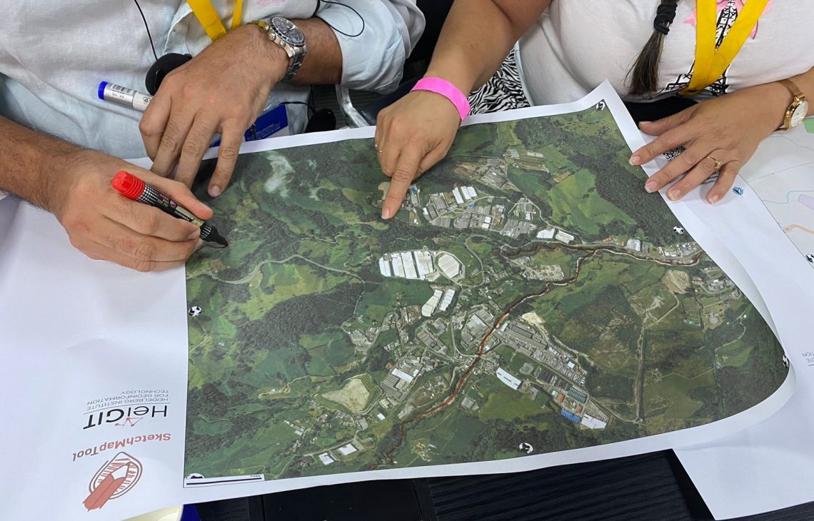
We are happy to share new developments on our ongoing work with the Sketch Map Tool! To help you better understand the tool, its key functionalities, and potential applications, we have included an introductory video.
Help us improve the Sketch Map Tool
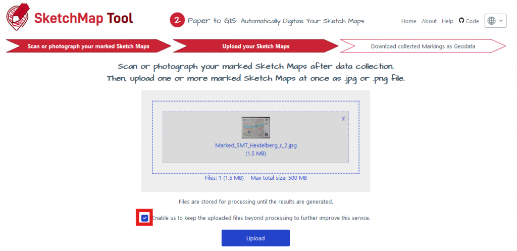
With this latest release, we invite you to actively contribute to improving the Sketch Map Tool. You can now support our efforts by allowing us to use your uploaded Sketch Maps for training purposes. By sharing real-world examples, you will help enhance the accuracy of our marking detection. If you wish to contribute, simply check the „confirmation“ box during the upload process.

We require your explicit consent to use your Sketch Maps for training purposes. Sharing your data is entirely optional, and you have full control over whether to grant permission, ensuring your privacy is respected.
New Section: data storage and data security
In response to frequent questions about data storage and security, we have updated our FAQs and introduced a dedicated section on our help page titled “Data Storage and Security.” This section outlines our policies and practices regarding data handling.
Here are the key updates in brief:
-
Upload and Processing Timeframes: You have up to 12 months to upload your marked Sketch Maps after creation. After this period, the system will no longer accept the maps for digitization.
-
Map Frame Requirements: To ensure successful digitization, we require the original map frame. These frames are stored for a maximum of 12 months.
-
Image Storage and Consent: Uploaded images are stored temporarily on our server for processing (e.g., georeferencing and marking detection) until the results are generated. If you consent, these images will be stored long-term to improve the Sketch Map Tool, particularly in training our machine learning models. Without consent, the images will be deleted following result generation. Results are stored for 24 hours for download and are deleted thereafter.
-
Anonymous Data Collection: To better understand user interactions with the Sketch Map Tool, we collect anonymous data, including the map generation date, centroid, paper format and orientation, layer information, and tool version.
For those with concerns about data privacy, we offer the option to set up the Sketch Map Tool on an individual server. If you are interested in this setup or have any additional questions, please contact our team at sketch-map-tool@heigit.org.
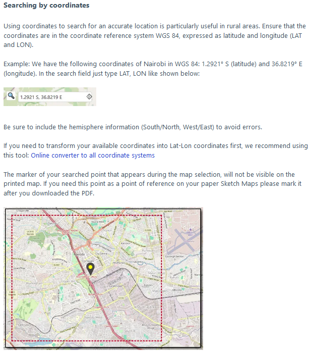
New tips on the Help page: How do I create a new Sketch Map based on coordinates?
We have also updated the Help page with additional resources and examples, including guidance on photographing large Sketch Maps and creating new Sketch Maps based solely on coordinates. As our Help page is continually being refined, we welcome your feedback to help us improve it further. If you have suggestions or questions, please don’t hesitate to reach out.

Missing Translations
If you use the Sketch Map Tool in German, French, or Spanish, you may notice some sections of the Help page and recent updates are in English while the remainder is in your chosen language. We are actively working on translations, but the process takes time, especially when small corrections in the English version necessitate re-translations of entire sections.
Until the translations are complete, the English text will be displayed to ensure the most up-to-date information is available. We apologize for any inconvenience this may cause. If you are interested in assisting with translations, please get in touch!
We look forward to hearing about more use cases and diverse applications of the Sketch Map Tool. For updates and case studies, you can subscribe to the Sketch Map Tool Newsletter. To keep up with future developments and releases related to this project as well as other efforts to advance geospatial technology in the mobility, humanitarian aid, and data analytics space, follow the social media channels and stay up to date on our blog.

