Kontext Bei Naturkatastrophen und anderen katastrophalen Ereignissen ist es von entscheidender Bedeutung, dass benötigte Ressourcen schnell ermittelt und verteilt werden. Selbst eine kurze Verzögerung bei der Evakuierung von Bewohner*innen oder der Beschaffung von Wasser kann die Hilfsmaßnahmen erheblich behindern und … Read More
Deutsch
HeiGIT/GIScience @ State of the Map 2021
Like in 2020, this year’s State of the Map (SotM) is taking place online this week from tomorrow 2021-07-09 to 2021-07-11, starting at 12:00 (CEST) each day. This year, HeiGIT is a bronze sponsor. In addition, there are a total … Read More
Automatic building detection with ohsome2label and Tensorflow
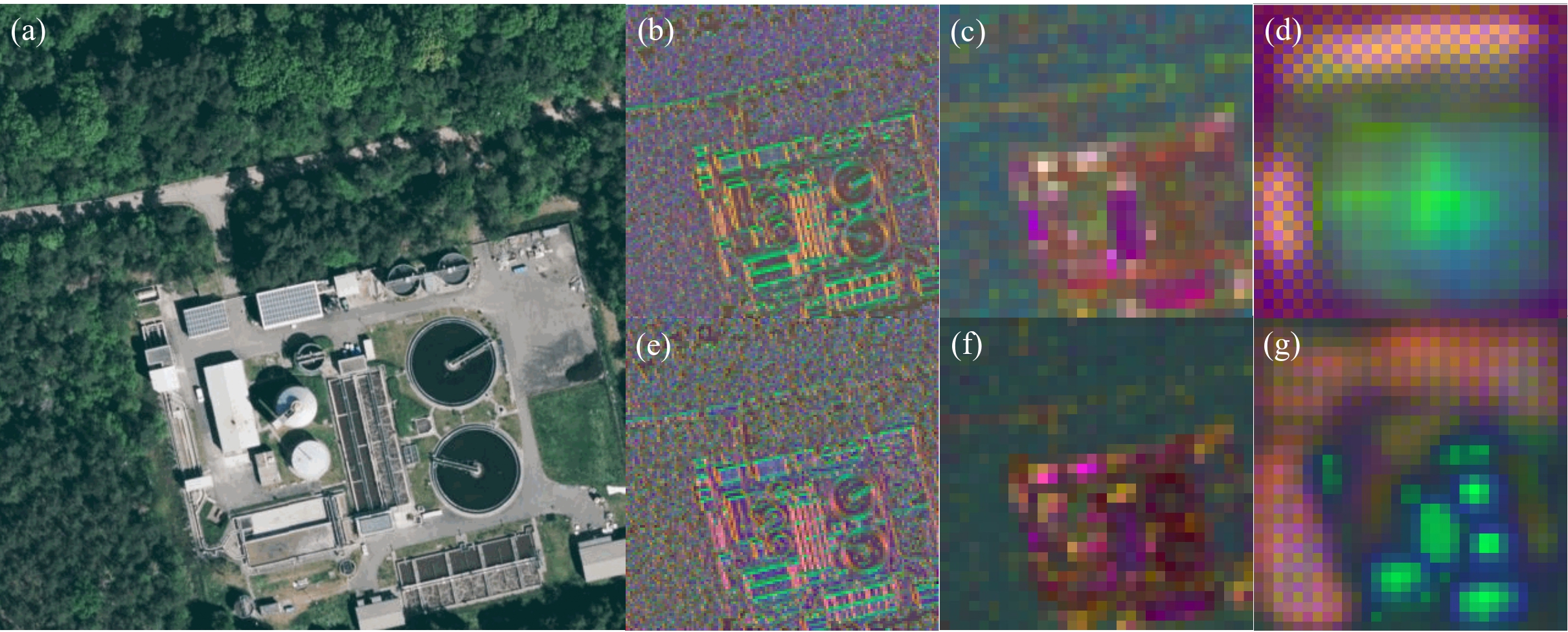
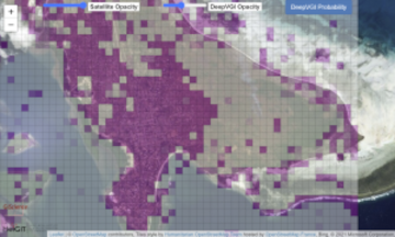
Accurate and complete geographic data of human settlement is crucial for humanitarian aid and disaster response. OpenStreetMap (OSM) can serve as a valuable source, especially for global south countries where buildings are largely unmapped. In a previous blog, we introduced … Read More