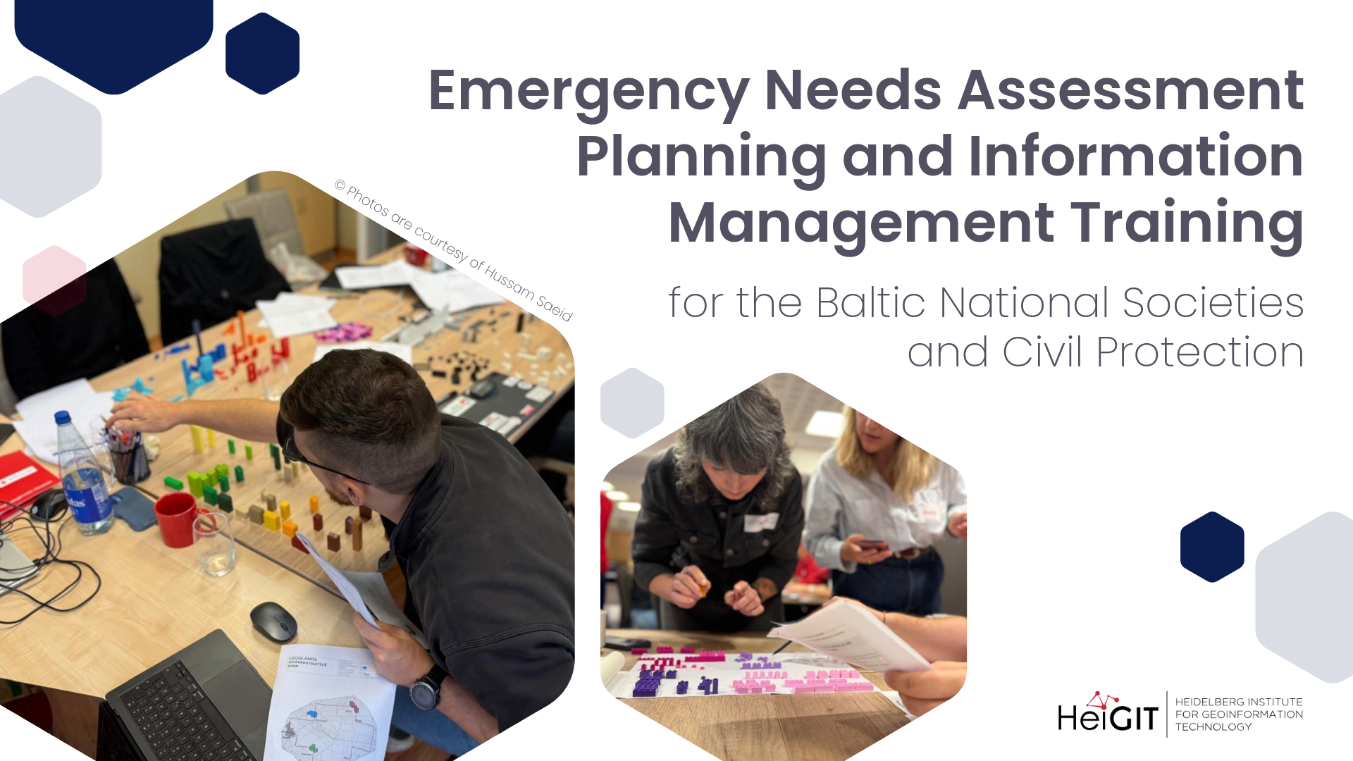
for the Baltic National Societies and Civil Protection
In late August, our colleague supported the technical design of the Emergency Needs Assessment Planning and Information Management (ENAPIM) Training for the Baltic National Societies and Civil Protection, and co-facilitated the four-day course. This was our first engagement in European civil protection, and it showed us that the open-source tools we develop and the training experience we have built up with humanitarian organizations are transferable to this field.
Civil protection covers the systems that national authorities maintain to prepare for and respond to disasters and other emergencies, ranging from floods and wildfires to attacks on critical infrastructure. Within the European Union, national systems cooperate under the Union Civil Protection Mechanism, and the European Commission supports joint preparedness work through its Directorate-General for European Civil Protection and Humanitarian Aid Operations (DG ECHO). During a crisis, civil protection authorities and Red Cross National Societies work side by side, which makes shared assessment and information management practices valuable across both.
The training forms part of the Baltic Civil Defence Cooperation for Complex Emergencies project, funded by DG ECHO, with technical support from the International Federation of Red Cross and Red Crescent Societies (IFRC), the German Red Cross, and the French Red Cross. Participants came from the Estonian, Latvian and Lithuanian Red Cross and from civil protection authorities in the three countries.
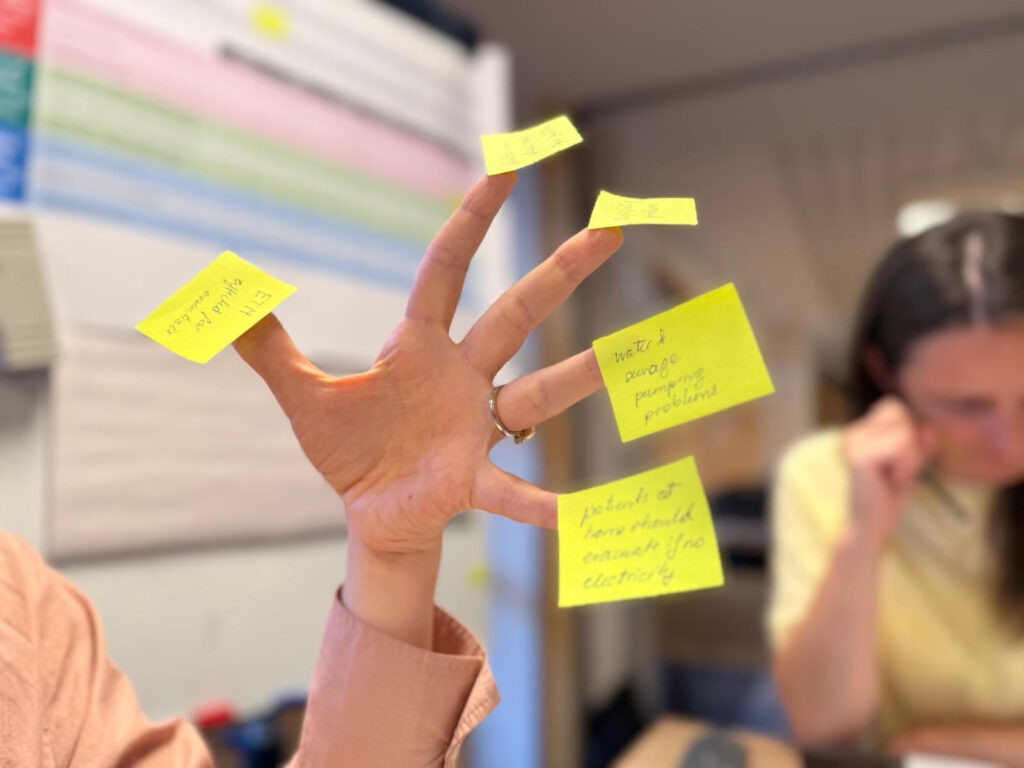
Training overview
Participants worked in four groups, balanced across genders, countries, and institutions, so that experience could travel between contexts. The first day introduced the core concepts of emergency needs assessment and planning, information management, and Protection, Gender and Inclusion.
The second day moved through the first steps of the assessment process, using a fictional scenario country called Takara affected by a hybrid attack. The groups defined their information needs, meaning what they already knew and what they still had to find out in order to inform a response decision. They then designed an assessment that could deliver critical information within a limited time, agreeing on indicators, data sources, and methods before starting to collect data.
On the third day the groups turned the raw information on Takara into analysis that decision-makers could act on, and shared their findings with each other. They then regrouped by country to map the tools that are available, missing, and needed in their own operations.
The final day opened with a full simulation exercise. Four assessment teams organized their time, processed their data, and built a situation analysis under time pressure. In the afternoon, each team briefed a panel standing in for a Crisis Response Special Advisor to the Prime Minister, a health focal point, and a deputy crisis manager responsible for shelter. The briefings followed a Bottom Line Up Front structure, and every team member presented part of the analysis.
What we can offer
Much of what we can offer in civil protection is what we already do in anticipatory action, where relief measures start before the hazard arrives. The hazard changes, but the questions stay the same, and they are questions of networks, access, and logistics. Which nodes are most critical or vulnerable, how well stockpiles of relief goods can be reached and distributed, and how an evacuation can be routed are all answered with the same tools and technologies:
- Geodata support for emergency needs assessments, including baseline and secondary data on population, infrastructure, and service locations derived from OpenStreetMap and other open sources.
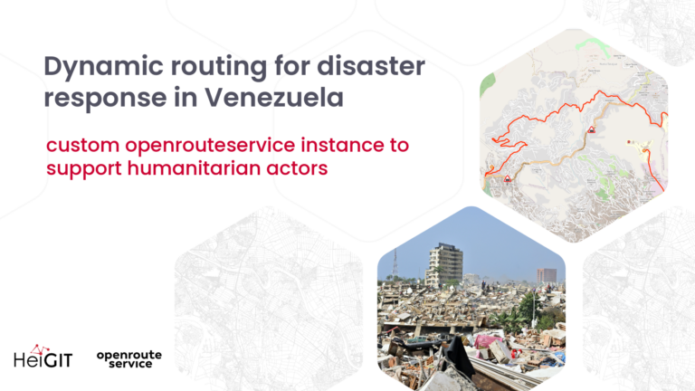
- openrouteservice, the open-source routing engine we develop and maintain. It handles routing from A to B, and beyond that it calculates reachability areas, distance matrices across many locations, and optimized plans for vehicle fleets, which supports logistics and decision-making during a response. Custom instances can be configured for emergency routing and hosted on an organization’s own infrastructure.
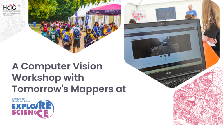
- GIS trainings for humanitarian organizations, adapted to the technical level of the participants and their data needs. We have hosted GIS training for healthcare workers, as well as several trainings within our Anticipatory Action project for Red Cross and Red Crescent National Societies.
- Support for partners in adapting routing profiles to the vehicle types and access constraints of their operational area.
- Accessibility research, which examines how well people can reach services such as health facilities, shelters, or distribution points under given conditions.
Working together
We want to gain further experience in civil protection, learn what data needs practitioners have in this field, and find out which tools they already use and which ones they lack. As in other fields, our work is guided by the humanitarian principles of humanity, neutrality, impartiality, and independence.
We are available to civil protection agencies and humanitarian organizations planning trainings or tool development of this kind, contact us at humanitarian_gi(at)heigit.org.