The 2024 Fachtagung Katastrophenvorsorge (Disaster Risk Reduction Symposium) centered around the theme “On the Edge? Disaster risk reduction in uncertain times.” Held in a hybrid format on April 22 and 23 at the Tagungswerk Berlin, this conference served as a platform to address the challenges, opportunities, and current developments in disaster prevention and management amidst a backdrop of climate change, health crises, and social and geopolitical tensions on both national and global scales.
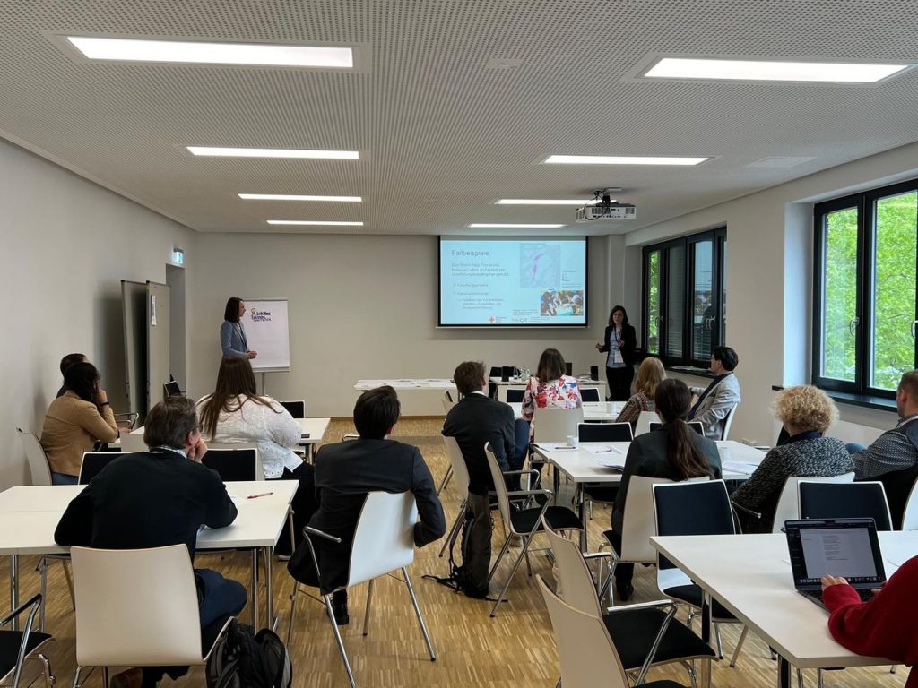
During these two days, there was a varied program of lectures, panel discussions, workshops and networking opportunities. Our workshop, titled “Mapping local knowledge with the Sketch Map Tool – potentials and challenges of participatory mapping,” introduced our tool designed for collecting local spatial knowledge. The first part of the workshop was dedicated to introducing the tool, during which participants were familiarized with its functionalities and provided with real-world examples demonstrating its successful implementation. This session laid the foundation for understanding the tool’s capabilities and potential impact.
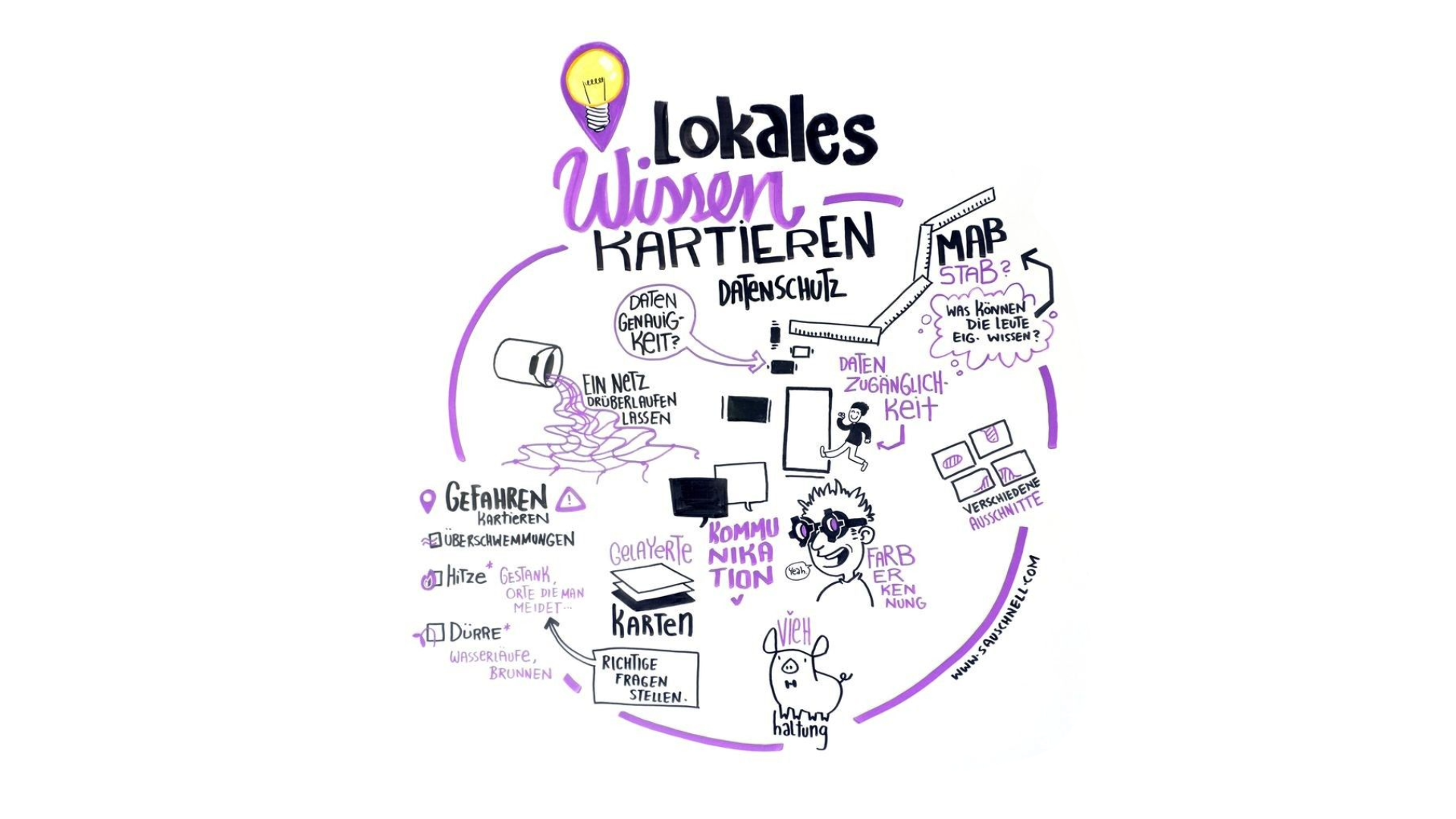
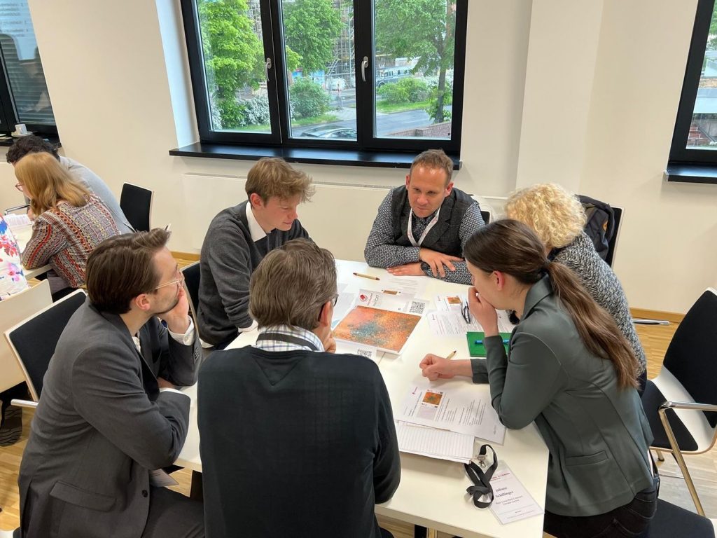
The core of our workshop revolved around hands-on engagement with the Sketch Map Tool, fostering discussions on the potential applications of the Sketch Map Tool in various contexts. From disaster preparedness in schools to search and rescue operations, the tool’s versatility sparked creativity and innovation among attendees. Additionally, we addressed the challenges associated with the tool from a user’s perspective, including insights into the challenges to visualize the geodata-output of the tool with limited GIS knowledge and considerations regarding data protection and privacy. This underscored the significance of ethical considerations when utilizing such technologies.
We extend our gratitude to all participants for their engagement and interest in our work. Moving forward, we are committed to further development of the tool to empower communities and mitigate the impacts of disasters on a global scale and support sustainable development. To find out more about the tool and its use cases, please read this blogpost.
To keep up with future developments and releases related to this project please sign up to our newsletter. If you are interested in other efforts to advance geospatial technology in the mobility, humanitarian aid, and data analytics space, follow the social media channels and stay up to date on our blog.
The idea of the Sketch Map Tool is based on experiences from research about flood risk perception including participatory mapping with Field Papers(https://fieldpapers.org/?locale=de) in various case studies (Klonner, Usón, et al. 2021). These studies show the need for the combination of analogue and digital mapping to bridge the gap between involved stakeholders and facilitate data collection and analysis. The Sketch Map Tool prototype combining map creation, quality analysis and georeferencing was developed during the Waterproofing Data Project ((Klonner, Hartmann, et al. 2021), (Porto De Albuquerque 2023), (Klonner et al. in preparation)) and refined through feedback from case studies, for example, in Mozambique (Klonner and Norze 2023). The Sketch Map Tool was developed to provide an easy-to-use and inclusive tool for capturing local knowledge and enabling usage in geoinformation systems.
Klonner, Carolin, Maximilian Hartmann, Rebecca Dischl, Lily Djami, Liana Anderson, Martin Raifer, Fernanda Lima-Silva, Lívia Castro Degrossi, Alexander Zipf, and João Porto De Albuquerque. 2021. ‘The Sketch Map Tool Facilitates the Assessment of OpenStreetMap Data for Participatory Mapping’. ISPRS International Journal of Geo-Information 10 (3): 130. https://doi.org/10.3390/ijgi10030130 .
Klonner, Carolin, and Jeantyl Norze. 2023. ‘Sketch Map Tool’. In Evaluating Participatory Mapping Software, edited by Charla M. Burnett, 149–66. Cham: Springer International Publishing. https://doi.org/10.1007/978-3-031-19594-5_7 .
Klonner, Carolin, Leonie Schuchardt, Maximilian Hartmann, Lima-Silva, Fernanda, Anderson, Liana, Cunha, Maria Alexandra, Mohammed Rizwan Khan, et al. in preparation. ‘Bridging the Gap for Improved Disaster Risk Reduction: How to Combine Authoritative Data and Local Knowledge’.
Klonner, Carolin, Tomás J. Usón, Nicole Aeschbach, and Bernhard Höfle. 2021. ‘Participatory Mapping and Visualization of Local Knowledge: An Example from Eberbach, Germany’. International Journal of Disaster Risk Science 12 (1): 56–71. https://doi.org/10.1007/s13753-020-00312-8 .
Porto De Albuquerque, João. 2023. ‘Waterproofing Data Project: Participatory Flooding Maps for Flood-Prone Neighbourhoods, 2020-2021’. UK Data Service. https://doi.org/10.5255/UKDA-SN-856620 .