In the field of humanitarian aid, Anticipatory Action (AA) is emerging as an important strategy to mitigate the impacts of natural disasters. At HeiGIT, we have been actively working with this approach to support local communities in building resilience. Unlike traditional reactive responses, AA aims to initiate predefined actions based on weather forecasts and risk assessments before disasters occur. This approach seeks to optimize resource allocation and ensure timely interventions.
Our current efforts in Pakistan focus on developing an Early Action Protocol (EAP) for riverine floods in the Indus River Basin. This project began in 2023 with data collection and review to assess its suitability for developing a framework for early action in flood-prone areas. By collaborating with local stakeholders and utilizing region-specific data, we aim to create a more targeted and effective protocol for flood risk management in the region.
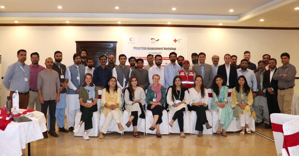
Our team recently traveled to Pakistan, where we conducted a two-day Risk Assessment Workshop and a four-day GIS training session. This event aimed to engage key stakeholders across various sectors and strengthen local capacity in disaster risk management and geospatial analysis.
Risk Assessment Workshop
The workshop participants included 35 different key stakeholders, among them representatives from national and provincial disaster management authorities like National Disaster Management Authority (NDMA) Pakistan and Federal Flood Commission, and international organizations such as the Pakistan Red Crescent Society (PRCS), the ICRC and NorCross. Bringing these diverse actors together, our goal was to gather various perspectives from local experts on river flood risks in the Indus River Basin. Together with the participants, we collaboratively discussed the risks posed by riverine flooding and gathered valuable input from key experts in the region.
We laid the foundation by introducing HeiGIT’s risk assessment methodology, which defines risk through three dimensions: Exposure, Vulnerability, and Coping Capacity, providing a framework for discussions on flood risks in the Indus River Basin.
On the second day, we presented specific indicators and data sources for each dimension and used the Analytical Hierarchy Process (AHP) to prioritize these indicators, allowing participants to vote on their relative importance based on their expertise.
This was the first time we employed the AHP in person, in contrast to the online surveys we had previously conducted. The input of local experts was critical in ensuring that the risk assessment was contextually relevant and reflective of the specific challenges faced in the Indus River Basin. Their insights provided us with a deeper understanding of the local context, which is vital since our team primarily brings technical expertise. The participants were highly engaged, contributing to lively discussions and exchanges of knowledge, which not only enriched our perspective but will also play a key role in shaping the final design of the EAP.

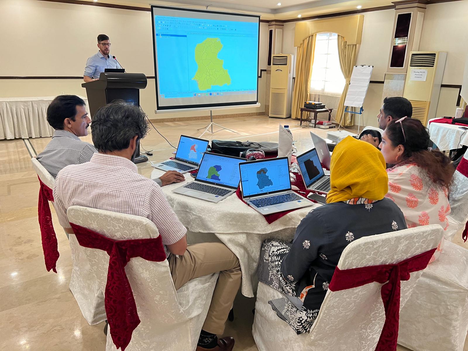
QGIS Training
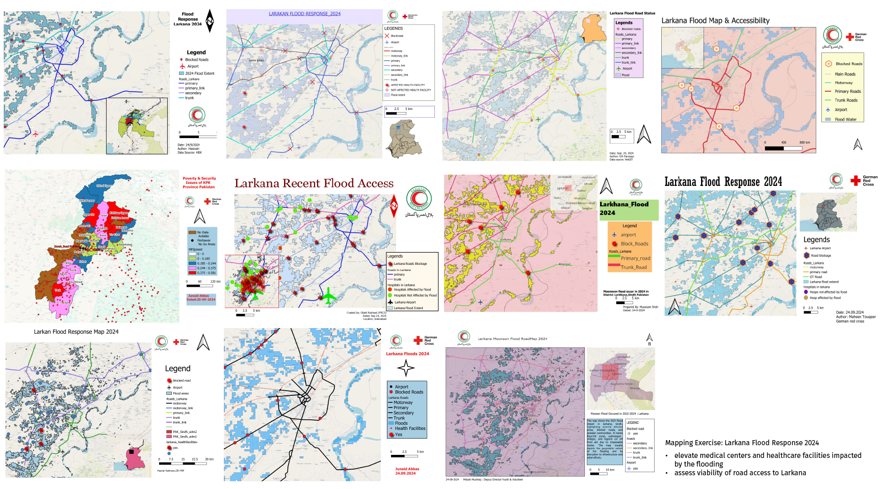
Following the workshop, we conducted a four-day GIS training session with around 30 participants, primarily from PRCS. This training was designed to build local capacity in the use of geographic information systems (GIS) for disaster risk analysis and response planning. Participants were introduced to key concepts in geospatial data processing and map-making, with a focus on flood scenarios and security challenges in Pakistan.
Participants also brought their own data to explore how GIS tools could be used to manage and visualize these datasets relevant for their context and reporting. The training was well-received, with participants showing a strong interest in applying their new skills to create maps and visualizations relevant to their work. We anticipate that this enhanced capacity will contribute to more informed decision-making processes in future disaster responses.

Our ongoing work in Pakistan exemplifies the complexity of developing anticipatory action frameworks that are both scientifically grounded and contextually appropriate. The combination of data-driven methodologies and local expertise is central to our approach, as it ensures that Early Action Protocols are not only technically robust but also contextually relevant.
To keep up with future developments and releases related to this project as well as other efforts to advance geospatial technology in the mobility, humanitarian aid, and data analytics space, follow our social media channels and stay up to date on our blog.

