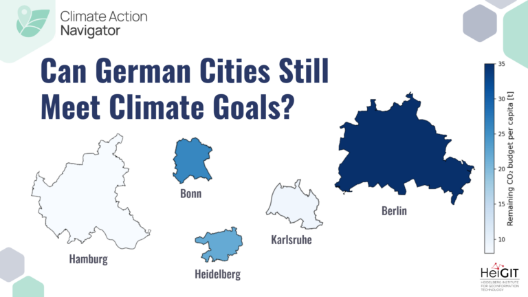
Germany has already cut its greenhouse gas emissions substantially since their peak in 1979. Yet many cities are close to exhausting their remaining carbon dioxide budgets. Can we still achieve…
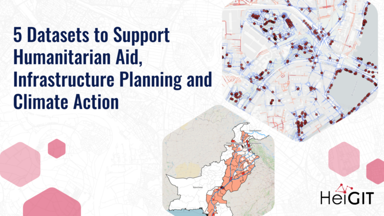
Reliable geodata is essential for informed decisions, such as preparing emergency supply chains, assessing road conditions, identifying healthcare gaps, or guiding climate investments. Yet in many regions, this information is…
Numbers alone do not show whether a child can reach school or a patient access medical care in time. This is where maps add context, helping to make sense of…
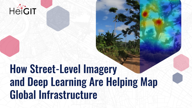
Street-level imagery combined with deep learning methods is transforming how we detect and map critical infrastructure characteristics that are often missing from existing datasets. Applications range from road surface classification…
This blog article was originally posted on Medium by Maciej Adamiak, machine learning expert at HeiGIT. It’s very easy to take many things around us for granted, especially when you live…
The Sketch Map Tool was strategically used within Colombia’s National Disaster Management System to steer community mapping in the southern city of Cali. The National Unit for Disaster Risk Management…
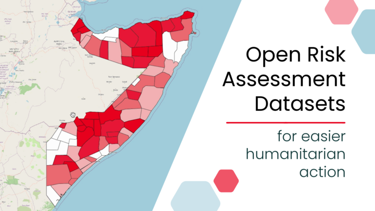
New open, ready-to-use global risk assessment datasets can simplify risk analysis by removing major technical barriers to data preparation. Designed for easy use with the Risk Assessment QGIS Plugin, the…
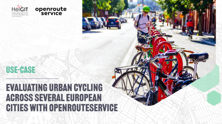
The study introduces a BIKE Index, a multi-dimensional framework for evaluating urban cycling conditions across cities. Built entirely on open datasets and open tools such as openrouteservice, the index provides…
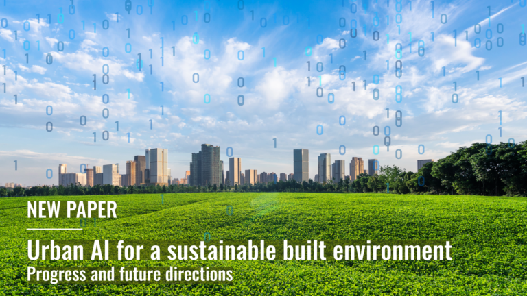
The editorial for the special issue of Environment and Planning B: Urban Analytics and City Science delineates the scope of a collection of research articles centering on Urban Artificial Intelligence…
The latest release of ohsome-planet introduces Parquet files continuously derived from OpenStreetMap replication data. This eliminates costly reprocessing and allows seamless analysis of the full lifecycle of OSM data in…
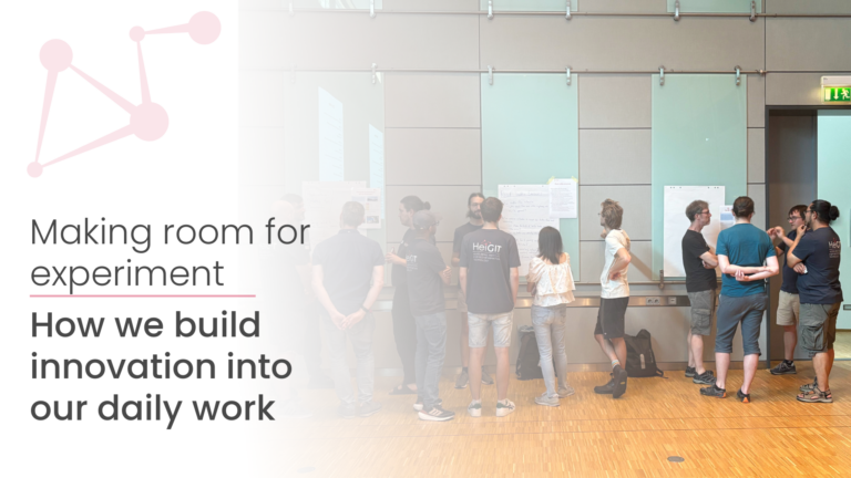
In recent years, HeiGIT has dedicated time to experimenting with new ideas, technologies, and collaborations, free from the immediate pressure to deliver results. What started as a new experience has…
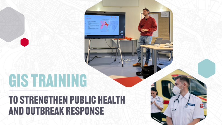
Geospatial analysis is critical for public health challenges such as an emergency outbreak response. With a pilot GIS training, we explored how health professionals and information managers can work together…
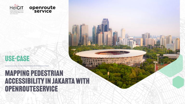
A recent study on cultural ecosystem service access in Jakarta used openrouteservice to map pedestrian accessibility to urban green spaces and reveal socioeconomic disparities in access….
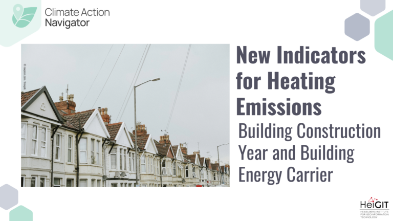
The Heating Emissions assessment tool in the Climate Action Navigator allows to assess CO₂ emissions generated by heating in residential buildings. We have now upgraded Heating Emissions with new indicators…
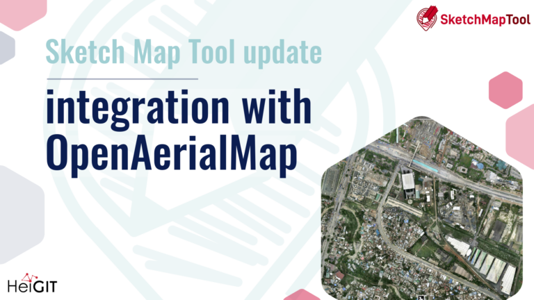
The latest update to the Sketch Map Tool introduces a direct integration with OpenAerialMap (OAM), making it easier to bring drone and aerial imagery into community and humanitarian mapping….
Automatically generated map data has become far more common, reducing the amount of direct human involvement. AI-assisted mapping, where human validation refines machine-generated output, is increasingly used to update crowdsourced…
The Climate Action Navigator now includes also greenness, detours, and extended summary statistics in its bikeability assessments. The latest release of hiBike makes it easier to identify strengths and weaknesses…
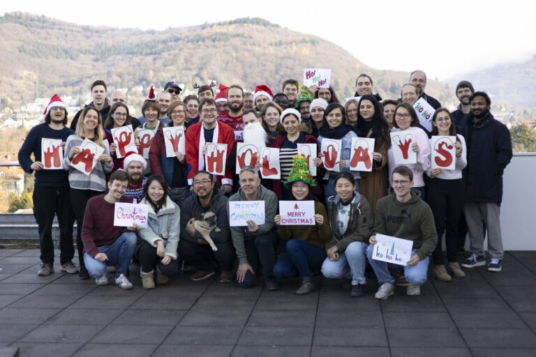
2025 was an exciting year for HeiGIT, full of new projects, fresh ideas, and plenty of change, both technical and organizational. At the same time, it was also a year…
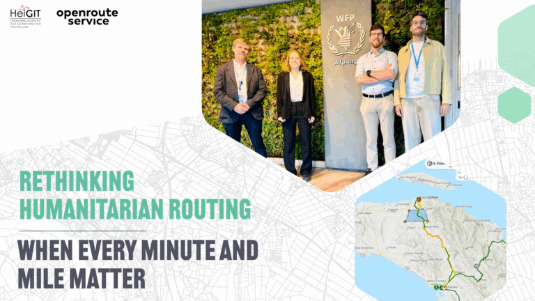
In humanitarian emergencies, delivering relief in time is key. Every minute and every mile matter to deliver aid to those who need it the most. Optimized routing can save lives,…
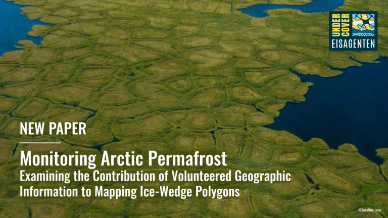
A recent study within the UndercoverEisAgenten project demonstrates that citizen science can effectively support Arctic permafrost research. Volunteers mapped ice-wedge polygons in Alaska and Canada with high accuracy, enabling geomorphological…