Stuntmen, jugglers, humanitarians stacking and climbing boxes, wildcard sessions – not the usual things you would expect at a conference. But all of these shaped this year’s Global Dialogue Platform and helped participants to leave their usual comfort zones. In … Read More
Blog
HGG (Heidelberger Geographische Gesellschaft) Lecture Series in Winter Semester 2024
Lateinamerika: Energie Macht Zukunft. Die Meinungen und Meldungen zu Lateinamerika variieren seit Jahren stark zwischen Stagnation, politischen Risiken und Hoffnung, etwa im Hinblick auf Lieferung von Energieträgern, Lebensmitteln und Rohstoffen. „Wen interessiert noch Lateinamerika?“ fragte Paul Ingendaay am 24.4.2024 in … Read More
Openrouteservice Feature Updates: Export and Snap Endpoints
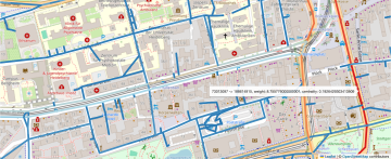
The openrouteservice (ORS) continuously evolves, bringing a suite of new features: the export and snap endpoints. These new features will change the way users interact with and process routing data, making it easier to handle complex use cases or pre-process … Read More

Das Gleichgewicht zwischen Begehbarkeit und Klimaschutz bei der Stadtgestaltung
Unsere Kollegin Kirsten von Elverfeldt hat vor Kurzem an der Walk21 Konferenz in Lissabon teilgenommen. Hauptthema dieser inspirierenden Veranstaltung war die Neuerfindung des Konzepts “Stadt” durch Umwandeln von Räumen, die auf Autos ausgerichtet sind, in aktive, lebenswerte und lebendige Umgebungen … Read More
New Features for the ohsome Quality API and Dashboard
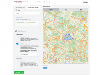
*Title image: Fig. 1: New UI of the ohsome dashboard In the last few weeks, a lot of work has been put into expanding the functionalities of the ohsome Quality API. Most notably, the ohsome dashboard now has a new … Read More
Sketch Map Tool Updates and Video Introduction
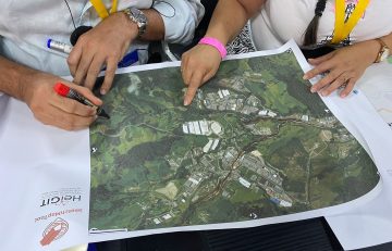
We are happy to share new developments on our ongoing work with the Sketch Map Tool! To help you better understand the tool, its key functionalities, and potential applications, we have included an introductory video. Help us improve the Sketch … Read More
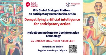
Meet HeiGIT and Discover Our AI and Anticipatory Action Related Projects at the Global Dialogue Platform in Berlin
Join us at this year’s Global Dialogue Platform on Anticipatory Humanitarian Action, themed “Mainstreaming Anticipatory Action: Collaboration in Complex Contexts.” This topic has been a focal point for HeiGIT over the past few years, and its prominence as the core … Read More
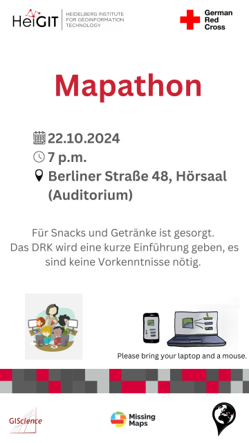
Mapathon on October 22
When: Tuesday, 22.10.2024, at 7 p.m. Where: Berliner Straße 48, Hörsaal After a short introduction into the region and subject of this mapping task, you will also get instructions how to map. The Mapathon will be a collaboration with the … Read More
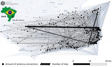
New Paper „Long-term validation of inner-urban mobility metrics derived from Twitter/X“
Data on mobility behavior can yield valuable insights that are beneficial for various applications such as public policy, emergency response, and urban planning. As the availability of freely-accessible mobility data is limited, the attention to X (formerly known as Twitter) … Read More
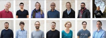
The Heads behind the Climate Action Team
At HeiGIT, the recently established Climate Action team is a group of dedicated professionals of diverse backgrounds and areas of expertise working together to drive impactful environmental solutions. The climate crisis is one of the most urgent challenges for … Read More
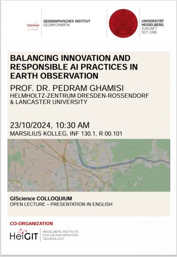
GIScience Colloquium by Pedram Ghamisi on responsible AI on 23 October 2024
We are very pleased to soon host guest speaker Prof. Dr. Pedram Ghamisi, head of the machine learning group (FWGE-L) at Helmholtz-Zentrum Dresden-Rossendorf, Germany (HZDR) & visiting full professor at Lancaster University, UK. Prof. Dr. Pedram Ghamisi will give a … Read More
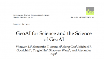
New Paper: GeoAI for Science and the Science of GeoAI
GeoAI integrates AI, geospatial big data, and high-performance computing for solving data- and computation-intensive geospatial problems. This field has gained continuous momentum, driven by strong demands in geography and the rapid advancement of AI. Wenwen Li´s paper “GeoAI for Science … Read More
Studentische Hilfskraft (m/w/d) für Outreach und Kommunikation
Liebe Studierende, wir suchen am HeiGIT baldmöglichst eine studentische Hilfskraft für Outreach und Kommunikation (15 Stunden/Woche). Die Aufgaben beinhalten vor allem die Erstellung von Texten für unsere Blogs und Social Media. Die Sprache hierfür ist dabei in der Regel Englisch. … Read More
HeiGIT at XP Days Germany: Insights into Working in Floating Teams
Two of our colleagues, Johannes Link and Jakob Schnell, are set to attend XP Days Germany 2024, where they’ll be sharing their insights on working in floating teams at HeiGIT. XP Days Germany is a community-driven, participatory conference for software … Read More
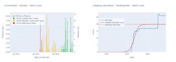
Qualitätsbewertung der World Bank GEEST Methode
Eine Arbeitsgruppe der Weltbank betreibt derzeit Forschung, um zu beurteilen, welche räumlichen Schlüsselindikatoren die Einstellungschancen von Frauen im Bereich der erneuerbaren Energien am meisten beeinflussen. Die Forschung zielt darauf ab, ein Tool zur Analyse von Orten zu entwickeln, das beurteilt, … Read More
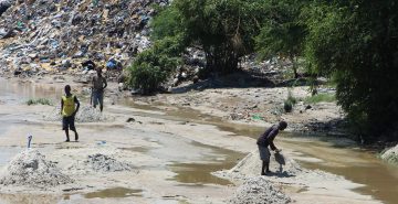
New Paper: „UAV-Assisted Municipal Solid Waste Monitoring for Informed Disposal Decisions“
Solid waste pollution is the cause of many environmental and health risks, especially in areas where waste is generated in large quantities but cannot be properly disposed of. Knowledge of the size and location of dump sites is required to … Read More

Partizipative Risikokartierung auf Papier mit dem Sketch Map Tool digitalisieren – IDRim 2024. Catagena, Kolumbien
Zusammen mit dem kolumbianischen Roten Kreuz (CRC), der nationalen Universität Kolumbiens in Manizales (UNAL) und dem UBDC, hat HeiGIT am 29. September 2024 in Cartagena, Kolumbien die IDRiM 2024 veranstaltet. Die Konferenz fand erstmalig in Süd Amerika statt und verzeichnete … Read More
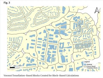
New Paper: „Enriching building function classification using Large Language Model embeddings of OpenStreetMap Tags“
Rapid global urbanization is placing immense pressure on planners to make informed decisions that promote sustainable growth. A crucial aspect of this challenge is understanding how urban buildings are used. Traditionally, classifying the function of buildings—such as residential or commercial—relies … Read More
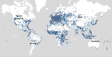
Analyse der Vollständigkeit von OSM-Gebäudedaten mittels neuer Daten
Jeden Tag kartieren tausende Menschen in OSM, wodurch die Anzahl der fehlenden Gebäudedaten in urbanen Zentren kontinuierlich zurückgeht. OSM ist eine weit verbreitete Ressource für Projekte, die die Besonderheiten urbaner Zentren weltweit erforschen. Gute Datenqualität sowie eine gleichmäßige Kartierung sind … Read More
HeiGIT at State of the Map in Nairobi, Kenya
State of the Map is the annual event for all mappers and OpenStreetMap users. In 2024 the State of the Map conference will be taking place from September 6 to 8 in Nairobi, Kenya as well as online. The conference … Read More

