We are excited to share the release of the ohsome-planet – a new software library on GitHub, marking a significant step toward the development of ohsome 2.0. This tool is designed to facilitate the transformation of raw OpenStreetMap (OSM) history data into the GeoParquet format, making it more accessible and efficient for spatial data analysis.
What can ohsome-planet do?
Working with raw OSM data presents several challenges due to its complex structure. Typically, users require data that is readily compatible with Geographic Information System (GIS) applications. Our new tool streamlines this process, providing a structured and GIS-ready dataset for improved usability.
The tool also enriches OSM element data by integrating information from OSM changesets and administrative boundaries. This additional contextual data allows for more efficient and straightforward spatial analysis, further improving the utility of OSM datasets.
GeoParquet is optimized for cloud storage, allowing seamless integration into GIS data analytics workflows. Users can efficiently process and analyze large-scale spatial data in cloud environments while also having the flexibility to visualize and interact with the data locally using QGIS.
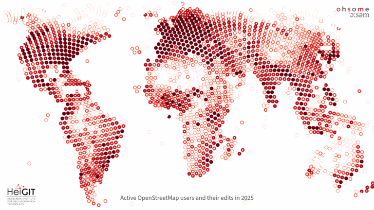
The ohsome-planet dataset can support analysis of various aspects of OSM, including its evolution, data quality, and mapping activity. In the past, we have used this dataset for research papers and presentations at international conferences. With this release, we not only share the dataset itself but also provide the tools necessary to generate and replicate the data from scratch, ensuring transparency and reproducibility in research.
Why “ohsome-planet”?
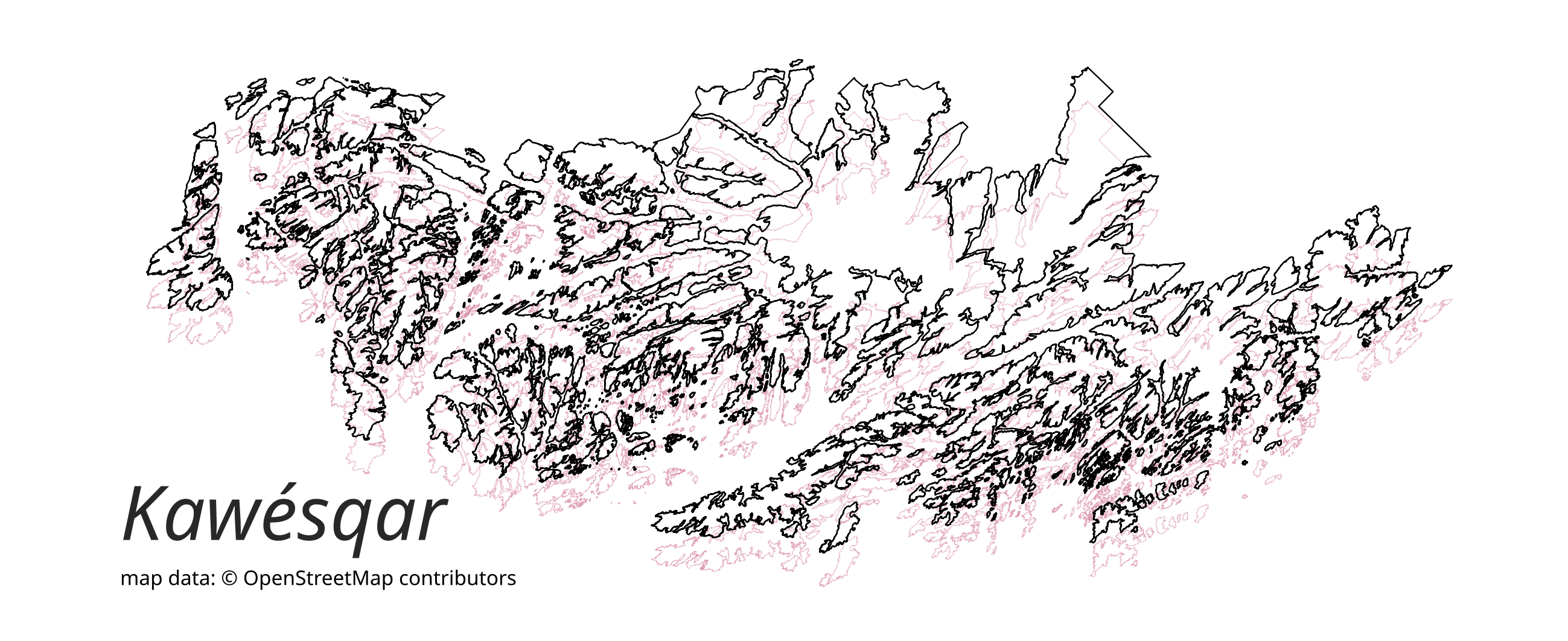
The term “ohsome-planet” draws inspiration from “OSM-planet,” the central repository where raw OSM history data is stored and made available for download. The code name “Kawésqar” comes from the Kawésqar National Park located in the far South of Chile. It is named after the Kawésqar people who arrived in that area about seven thousand years ago. It is not only the second largest national park in Chile, but also among the largest in the world.
We invite researchers and GIS enthusiasts to explore our new tool for their own studies and applications and provide us with feedback to further refine and expand its capabilities.
The software library is available on GitHub.
To keep up with future developments and releases related to this project as well as other efforts to advance geospatial technology in the mobility, humanitarian aid, and data analytics space, follow our social media channels and stay up to date on our blog.
Related posts: Easy Access to ohsome full history OSM contributions using cloud hosted GeoParquet