We cordially invite you to a Brownbag presentation by our Guest Researcher Dr. Jennings Anderson! When? Tuesday, 8/10/2019, 1-2.30 pm Where? Seminar room 15, INF 348 Jennings is a postdoctoral…
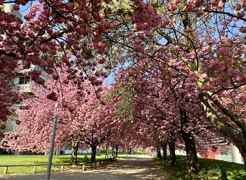
IT IS HOT! So you are looking for a more shady pedestrian route through the urban jungle? You might then prefer some routes that go through public green spaces with…
Last week Dr. Clemens Jacobs successfully defended his PhD about methods for assessing the data quality of citizen science observations of organisms. Congratulations, well done!!! We wish all the very…
This year, Sabrina Marx and Martin Hilljegerdes were teaching the block course “GIS 2” at the Heidelberg Center for Latin America (HCLA) in Santiago de Chile. The course is part…
The 11th Information Communications Technology for Development (ICT4D) Conference brings together hundreds of public, private and civil society organizations, eager to share practical insights on applying digital technology to development,…
We are always happy to support citizen science projects at the HeiGIT. HeiGIT/ GIScience efforts already range from tools that assess the data quality of citizen science projects (see, e.g.,…
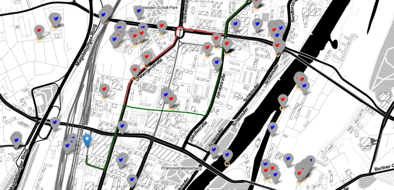
In a newly published open access paper, we present a system that generates customized pedestrian routes entirely based on data from OpenStreetMap (OSM). The system enables users to define to…
In the case of a disaster fast response is important and life saving. Information on blocked streets is crucial, but a the same time this infornations needs to be considered…
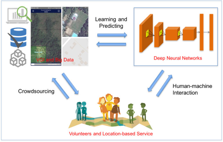
Recently, deep learning has been widely applied in pattern recognition with satellite images. Deep learning techniques like Convolutional Neural Network and Deep Belief Network have shown outstanding performance in detecting…