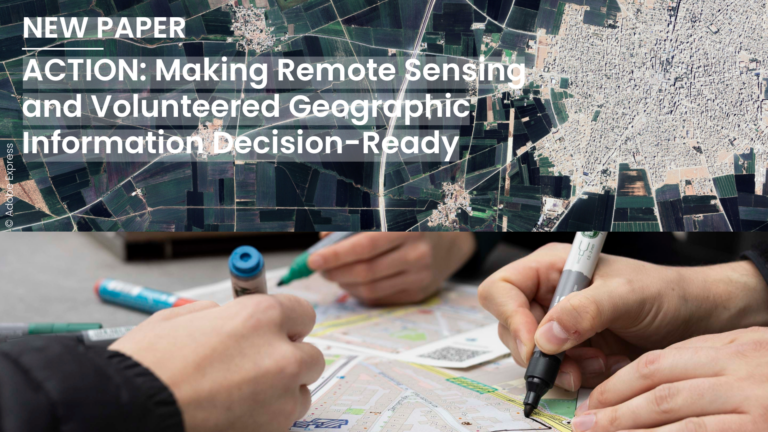
In a new perspective paper, the authors argue that geospatial decision-making suffers from a lack of workflows in which remote sensing (RS) and volunteered geographic information (VGI) meet before a…
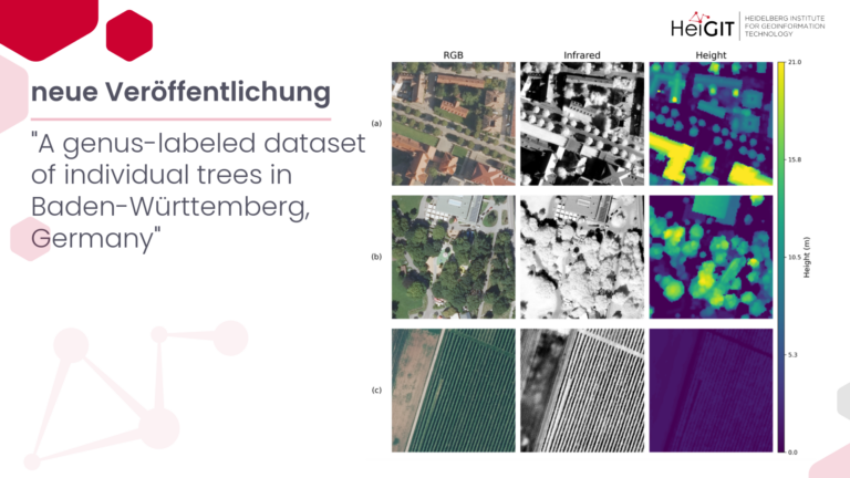
Bäume in besiedelten Gebieten werden zunehmend als wichtige Indikatoren für Nachhaltigkeit, Klimaanpassung und Lebensqualität anerkannt. Bestehende Datensätze sind jedoch oft unvollständig und liefern selten taxonomische Informationen, die über von öffentlichen…
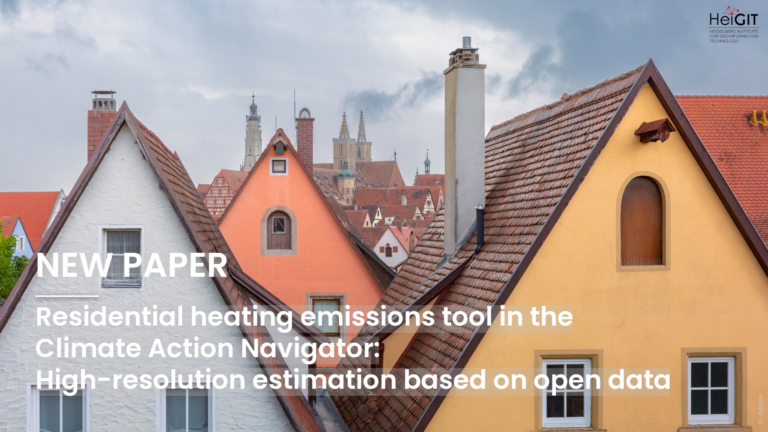
A new paper presents an open-source tool that estimates direct CO₂ emissions from residential heating in Germany, with results mapped at a 100-meter scale. The tool is part of HeiGIT’s…
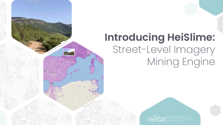
HeiSlime is a Python toolbox that uses geographic context to select the few street-level images that are useful for an analysis, before a computer vision model ever sees them….
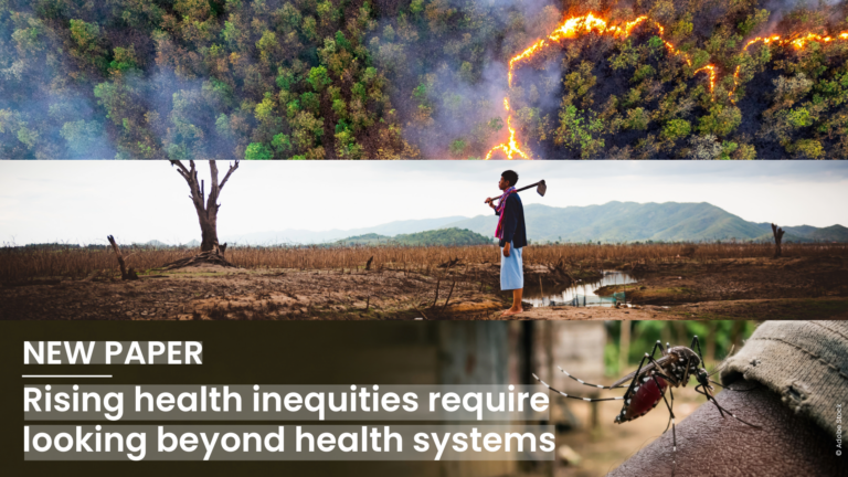
Global health inequity is increasingly driven by the triple planetary crisis of climate change, biodiversity loss, and pollution. Addressing this requires placing health at the center of climate and environmental…
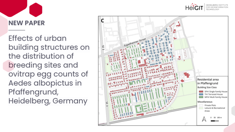
In response to the increasing abundance and spread of the invasive mosquito Aedes albopictus in Germany, this study examines how the effectiveness of control measures on breeding sites is influenced…
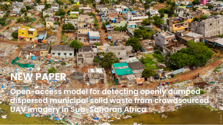
Openly dumped waste is a serious environmental and public health problem in many fast-growing cities, but small and scattered amounts of waste are often hard to track. A recent study…
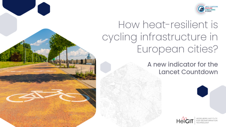
A new indicator for the Lancet Countdown In Europe, cities are center stage for climate action. With three-quarters of the continent’s population and a majority of both energy demand and…
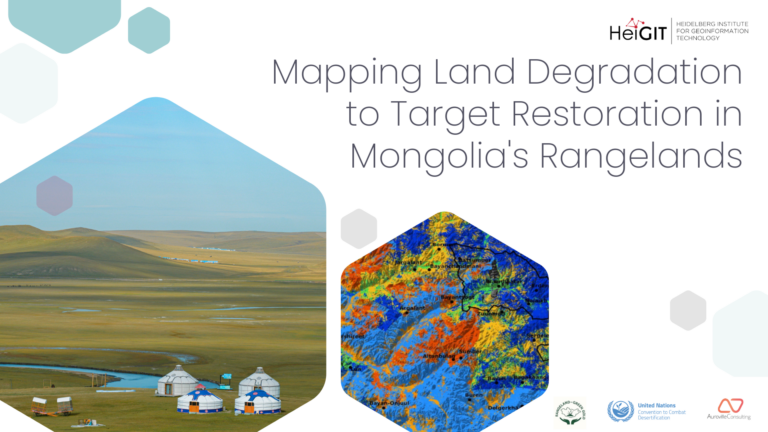
We combined Earth observation, an innovative custom-built deep-learning model, and spatial planning to map the condition of the rangelands around Töv province and Ulaanbaatar. The resulting maps provide actionable insights…
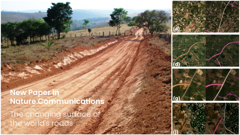
The new paper presents the first global, multi-temporal dataset of road pavedness and width, built by applying a deep learning framework to PlanetScope satellite imagery from 2020 and 2024 to…
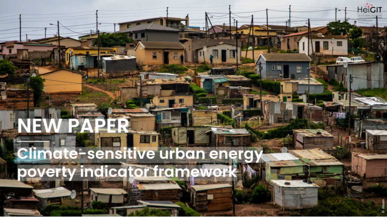
New paper published in Communications Sustainability, editorially selective open-access journal from the Nature Portfolio, presents the Climate-Sensitive Urban Energy Poverty Indicator Framework, which assesses household energy poverty under climate-sensitive urban…
Indoor dwelling habitability affects health, comfort, and housing performance, but there is still no standardized approach for assessing it. This systematic review examines how the concept has evolved, which methods…
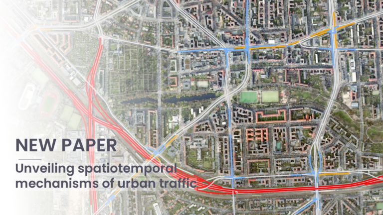
Public traffic speed data usually cover only some parts of city road networks. In this paper, the authors present a clear framework to estimate missing street-level traffic speeds in Berlin….
A new paper presented at the AGILE 2026 conference investigates how hand-drawn annotations in participatory sketch maps can be automatically extracted and digitized. The authors formulate annotation extraction as an…
This study introduces detour-based indices for alcohol exposure along walking commutes. Survey data estimate detour budgets to assess path-based availability. Results show how different retail regimes affect exposure, informing effective…
This study analyzes five socio-economic factors shaping COVID-19 incidence rates across the 400 German districts. A regression analysis using spatial eigenvector mapping indicates that socio-economic factors might influence incidence less…
Food insecurity projections are a central component of anticipatory action frameworks, particularly in drought contexts. Presented at the AGILE 2026 conference, this paper compares FEWS NET and IPC food insecurity…
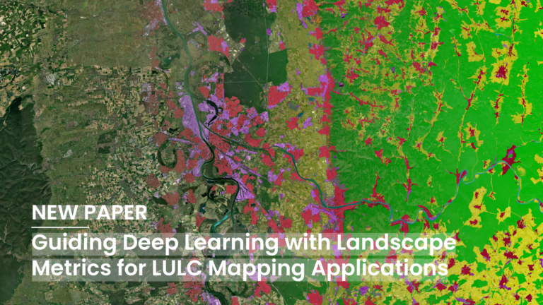
Deep Learning (DL) has become a core methodological pillar in remote sensing and GeoAI, enabling large-scale applications such as Land Use Land Cover (LULC) mapping, object detection, and spatiotemporal prediction….
A new Open Access paper published in the volume Geography According to Foundation Models by IOS Press explores how Large Language Models could help design stated-preference studies in urban mobility…
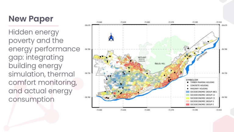
Hidden Energy Poverty (hEP) represents an underestimated form of energy vulnerability in which households consume less energy than required to achieve adequate indoor thermal comfort conditions. This phenomenon is particularly…