Following the catastrophic earthquakes in Venezuela on June 24, 2026, humanitarian organizations face a compromised operational landscape. With over 3,600 confirmed fatalities and tens of thousands missing, the immediate priority…
For well over a decade, our team has been transferring research to our ecosystems of mobility tools. These services are stable and maintained. Developing a dedicated public transit routing engine…
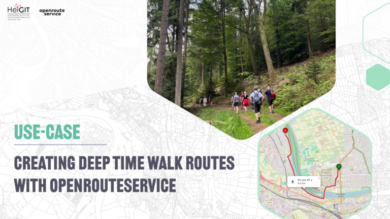
Deep Time Walk offers facilitated walks of 4.6 kilometers, where each meter represents one million years of our Earth’s history. To empower their global network of facilitators, their new Route…
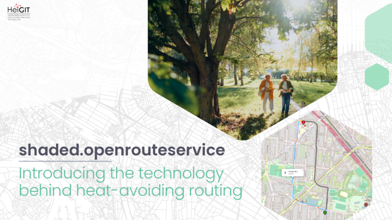
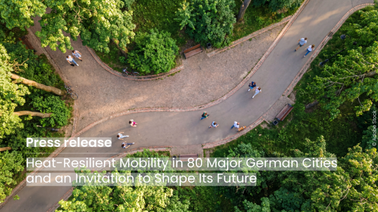
The origin In 2021, HeiGIT, the GIScience Research Group, and TdLab Geography launched HEAL (Heat Adaptation for Vulnerable Population Groups) – a transdisciplinary research project funded by the Baden-Württemberg Stiftung…
The new HeiGIT application shows how digital geodata can make cities more heat-resilient and is looking for partner cities that want to co-develop the routing further using their own data….
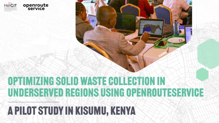
Efficient waste collection remains a major challenge in many rapidly growing cities. In a pilot study in Kenya, openrouteservice (ORS) is being used to improve solid waste collection planning and…
The article is based on the talk Benjamin Herfort (HeiGIT) and Benjamin Würzler (Bundesamt für Kartographie und Geodäsie) presented at FOSSGIS 2026 in Göttingen….
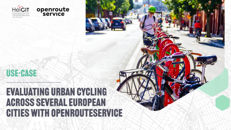
The study introduces a BIKE Index, a multi-dimensional framework for evaluating urban cycling conditions across cities. Built entirely on open datasets and open tools such as openrouteservice, the index provides…
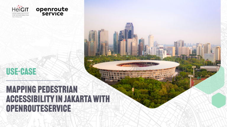
A recent study on cultural ecosystem service access in Jakarta used openrouteservice to map pedestrian accessibility to urban green spaces and reveal socioeconomic disparities in access….
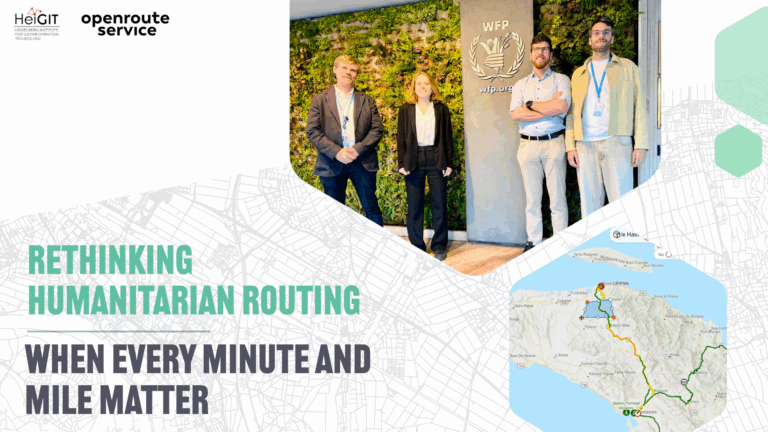
In humanitarian emergencies, delivering relief in time is key. Every minute and every mile matter to deliver aid to those who need it the most. Optimized routing can save lives,…
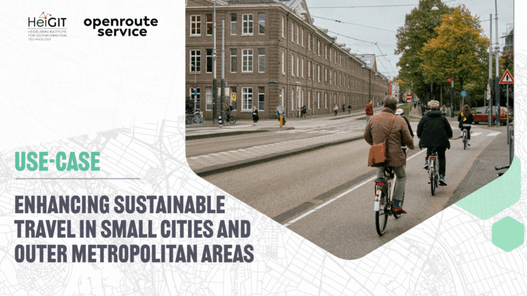
The ENHANCE project explores how 15-minute city principles can be applied beyond dense urban hubs, using mapping, behavioral research, and simulation tools to design more sustainable and inclusive mobility systems….
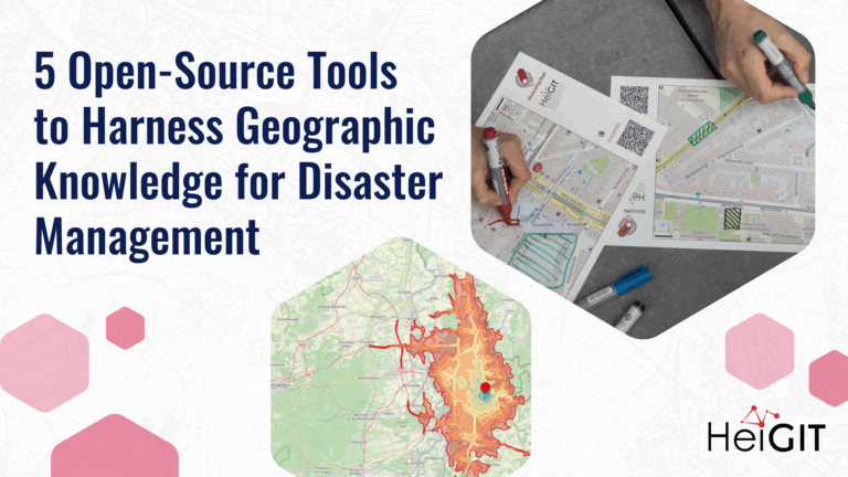
Volunteered Geographic Information (VGI) is a valuable resource for an effective disaster management. This article presents five free tools to enhance humanitarian work using VGI. What is VGI and why…
As summer temperatures soar, being outdoors poses rising health risks, especially in urban areas and for vulnerable groups like the elderly, children, and citizen with pre-existing conditions. The HEAL project…
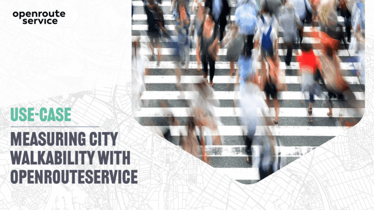
The study presents a detailed analysis of walking access to key built environment assets linked to the social determinants of health. Using openrouteservice, it examines spatial inequalities in access to…
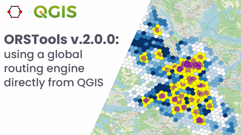
What is ORSTools? With ORSTools, most of the functionalities of openrouteservice are directly accessible in QGIS. The plugin offers a toolset, including routing, isochrone generation and matrix calculations. These functions…
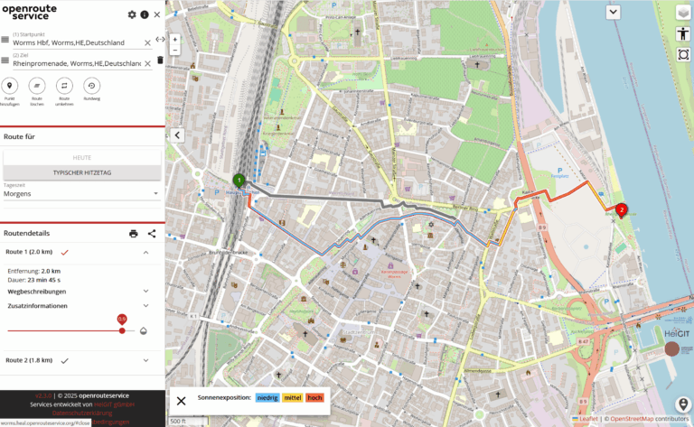
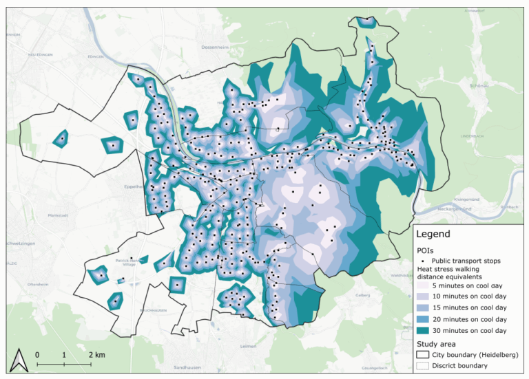
This study introduces the isocalor approach to assess how solar exposure and heat stress impact pedestrian access to essential services in Heidelberg, using OpenStreetMap data and a customized openrouteservice routing…
Students of the Institute of Geography at Heidelberg University explored local perceptions of urban heat in Heidelberg’s old town as part of a 2024 seminar on GIS for Disaster Risk…
Do we really need digital sovereignty—and why? Today, over 80% of Europe’s digital products, services, infrastructures, and intellectual property originate from outside the EU. This dependency affects not only innovation…
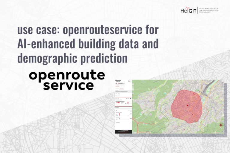
This research shows how spatial indicators from openrouteservice (ORS) can support building-level demographic predictions using machine learning. The study combines ORS APIs, building attributes, and POI data to estimate population…