A few days ago, we had the pleasure of welcoming our longtime partners from the German Red Cross (GRC) to HeiGIT. Together, we not only mapped out our future priorities…
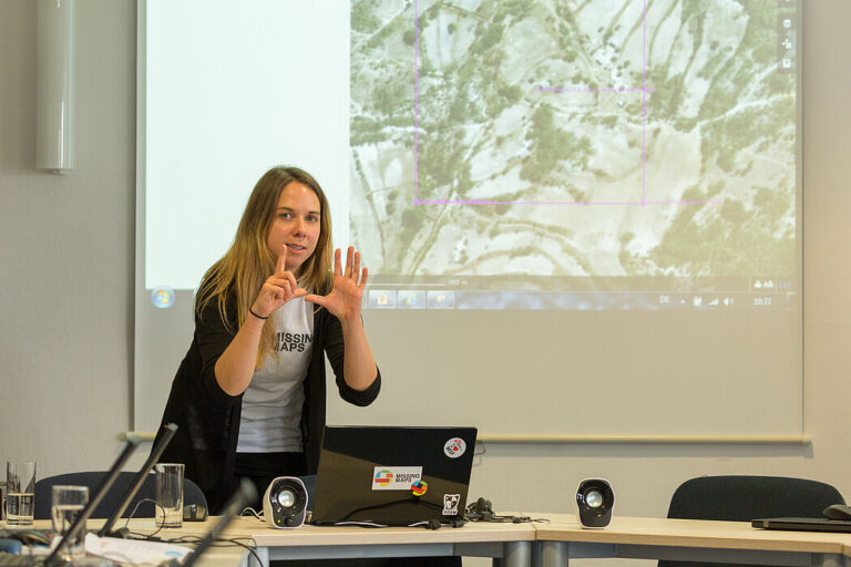
No matter where you are or which device you are using, you can now do voluntary work and make a difference, all from your browser with MapSwipe Web App! Since…
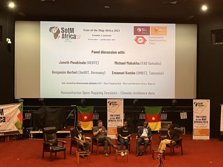
The recently concluded State of the Map Africa 2023, hosted in Yaoundé, Cameroon, marked the fourth edition of this regional OpenStreetMap (OSM) conference. The State of the Map was a…
Sketch Map Tool (SMT) – An easy-to-use way to create and digitalize paper maps for offline data collection in the field The HeiGIT (Heidelberg Institute for Geoinformation Technology) team recently…
Einladung Vortrag Online: Dienstag, 14. Dezember 2021, 19:15 Uhr Melanie Eckle-Elze, Benjamin Herfort, Dr. Carolin Klonner Digitale Geographie im Katastrophenmanagement Klimawandel, Bevölkerungswachstum, Verstädterung und weitere zunehmende Landnutzungsveränderungen führen dazu, dass…
Sie haben Erfahrung in den Bereichen Geoinformatik und Open Data und würden gerne dazu beitragen, dass Menschen in Deutschland und weltweit Hilfe erhalten? Sie würden gerne als Teil des größten…
Recently videos with our contributions by HeiGIT to the FOSS4G conference were put online. Did you miss the event? Now you can watch whenever you like 🙂 Benni by HeiGIT…
Kooperation ist in der Humanitären Hilfe oft der Schlüssel, um Menschen in Not schnell und effizient helfen zu können. Das gilt insbesondere beim Austausch von Informationen und Kartenmaterial. Besonders herausfordernd…
Current COVID 19 related activities of the Humanitarian OpenStreetMap Team (HOT), Red Cross Red Crescent Climate Center and HeiGIT are featured in a blog series around Forecast-based Financing. The blog…
We are pleased that our article has been selected by the editors of ISPRS Journal of Photogrammetry and Remote Sensing as the featured Article in August 2020. This means it…
Vom 06. bis zum 08. Juli fand das Online Symposiums “COVID-19 als Zäsur? Geographische Perspektiven auf Räume, Gesellschaften und Technologien in der Pandemie” statt. Teilnehmer aus Geographie, Medizin, Public health…
The Humanitarian OpenStreetMap Team (HOT) has announced major financial support from the Audacious Project, which will be provided over the next five years. HOT aims to use this funding to…
Using hospital locations and the ORS Isochrone service, we have created a method for comparing physical access to healthcare in Sub-Saharan Africa. Hospital locations were derived from OpenStreetMap and compared…
This week, at the prestigious GSMA MWC series (formally known as Mobile World Congress) MapSwipe was awarded the top prize in the Global Mobile Awards’ category for the Best Mobile…
We are happy to annouce two higly interesting upcomming presentations in the GIScience colloquium in the next weeks. Everybody interested is invited to join the presentations and the discussion afterwards….
Next week, November 12-14th, the 7th International Dialogue Platform on Forecast-based Financing is taking place in Berlin. The platform is organized by the German Red Cross (GRC), World Food Program,…
On October 17/18th the Humanitarian Congress is organized in Berlin by Médecins Sans Frontières/Ärzte ohne Grenzen (MSF), Médecins du Monde/Doctors of the World (MdM), German Red Cross (GRC) and Berlin…
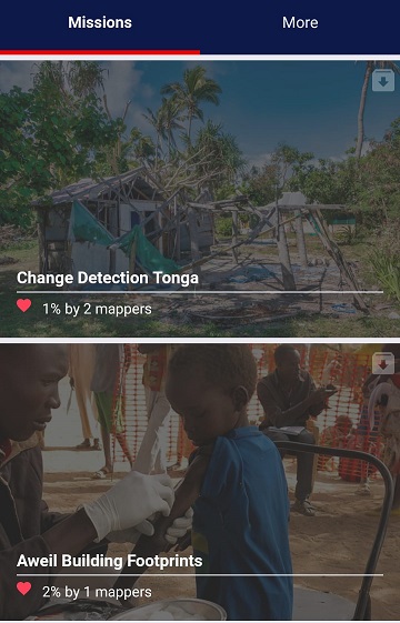
In 2015, MapSwipe began as a solution to a complex question: how do we better identify where communities and populations are, allowing mapping to be more efficient and effective? Using…
Seit einiger Zeit findet sich das gemeinsame Exponat des HeiGIT und des Alfred-Wegener-Instituts Helmholtz-Zentrum für Polar- und Meeresforschung für die Ausstellung “Künstliche Intelligenz” auf der “MS Wissenschaft” auch auf dem…
Am 16. und 17. August öffnet das Auswärtige Amt in Berlin die Tore für die Öffentlichkeit. An diesen Tagen kann nicht nur das Auswärtige Amt selbst besichtigt werden, verschiedene Diplomaten,…