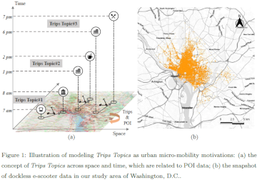
Over the last two years, we have witnessed the ever-fast growth of micro-mobility services (e.g., e-bikes and e-scooters), which brings both challenges and innovations to the traditional urban transportation systems. For example, they provide an opportunity to better address the … Read More
Blog
Audio Segment: The Heidelberg Institute for Geoinformation Technology (HeiGIT) in the Campus Radio
HeiGIT aims to provide safe and easy access to geoinformation data and better orientation for humanitarian aid groups during emergency events. Traveling through a foreign city? No worries; nowadays, all standard phones are connected to satellite networks. This continuously improves … Read More
Recent feature additions to Ohsome Quality analysT
Since the release of the ohsome quality analyst (short OQT) in February of last year, we have been working on developing an accessible yet powerful toolkit which provides end users insights on the quality of OpenStreetMap (OSM) data. An overview … Read More
Social Media Data for better routing of open-source navigational services
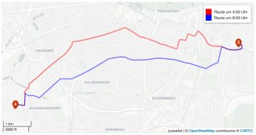
Geoinformatics researchers from Heidelberg are helping to improved the usability of geocoded information through the project “SocialMedia2Traffic”. Heidelberg 23rd of May, 2022. Navigation services require up-to-date traffic information in order to determine optimal routes and calculate the travel time. Open-source … Read More
Leveraging OpenStreetMap and Multimodal Remote Sensing Data with Joint Deep Learning for Wastewater Treatment Plants Detection
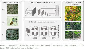
Humans rely on clean water for their health, well-being, and various socio-economic activities. During the past few years, the COVID-19 pandemic has been a constant reminder of about the importance of hygiene and sanitation for public health. The most common … Read More
Student Assistant (m/f/d) for Assistance with the Development of the SketchMapTool
Our team is currently looking for: Student Assistant (m/f/d) for Assistance with the Development of the SketchMapTool Your tasks will be to support our team in the further development of the SketchMapTool1. The tool is designed to support the collection … Read More
Student Assistant (m/f/d) to Support the Systemadministration
Our team is currently looking for: Student Assistant (m/f/d) to Support the Systemadministration Your tasks will mainly be situated in the administration of servers and computers, as well as to develope a system-montoring further. Besides, the developement of deployment-processes, authorization … Read More
Student Assistant (m/f/d) to Support the Big Spatial Data Analytics Teams
Our team is currently looking for: Student Assistant (m/f/d) to Support the Big Spatial Data Analytics Teams Your tasks will mainly be sitauted in the software development and the analysis of geoinforrmation (e.g. OSM). Moreover, software development with Webframeworks (Angular), … Read More
ohsome Region of the month – Back on trail
Welcome back to our Region of the Month series. If you’re hearing about this format the first time you should definitely check out some of our older blog posts, e.g. this one on the tagged forests of different places in … Read More
Spatial Data for Society – Leading HeiGIT to the Future
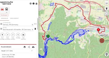
Underpasses, stairs, and high curbsides are a challenge for people with impaired mobility, but these can be circumnavigated using a customized route planner for increasing mobility by calculating routes with the least amount of obstacles. This example emphasizes how geoinformation technology and … Read More
UndercoverEisAgenten on Social Media
The project UndercoverEisAgenten aims to gather reliable and up-to-date data on the thawing of the permafrost in collaboration with citizen scientists. The project invites citizens from Germany and Canada to join researchers in collecting data on visible landscape disturbances in … Read More
Mamapa Presentation and Discussion “Humanitarian Cartography Using OpenStreetMap”at the International Weeks Against Racism 2022
What contribution can be made to humanitarian projects by mapping in OpenStreetMap? And what opportunities are there to network with other like-minded people in the Heidelberg and Mannheim region, in other parts of Germany and also on a global scale … Read More
Join our final “SocialMedia2Traffic” project presentation on March 22
Navigation services need time dependent information on traffic speed to generate suitable routes and yield accurate travel time estimations. However, this information is not available free of cost globally. Within the recently completed project SocialMedia2Traffic, we have developed a system … Read More
ohsome Region of the Month – Mapping of pandemic related facilities
At long last, welcome back to out Region of the Month-series, where we look at different regions in the world and how tags are used there. Today we would like to look at Covid-19 related OpenStreetMap tags in Germany, Austria and Switzerland. … Read More
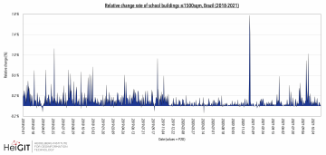
How to become ohsome part 12 – Using length and area as a predefined filter
Hello and welcome back to part 12 of our “How to become ohsome“-blog post series! If you’re new to this series, check out other blog posts of the series as well, in order to learn how you too, can become … Read More

ohsome quality analyst (OQT) auf der FOSSGIS Konferenz am 09.03.22
Vom 9. bis zum 12. März 2022 findet die jährliche FOSSGIS Konferenz statt, die führende Konferenz für Freie und Open Source Software für Geoinformationssysteme und Open Data im deutschsprachigen Raum. HeiGIT wird dabei am 09.03. um 16:30–16:50 Bühne 2 ONLINE … Read More
Adjunct professor title awarded to HeiGIT team member Sven Lautenbach
Heidelberg University has awarded the title adjunct professor (außerplanmäßiger Professor) to HeiGIT member Dr. Sven Lautenbach. As a member of the faculty of chemistry and geosciences he is allowed (and obligated) to lecture and conduct examinations and has the right … Read More
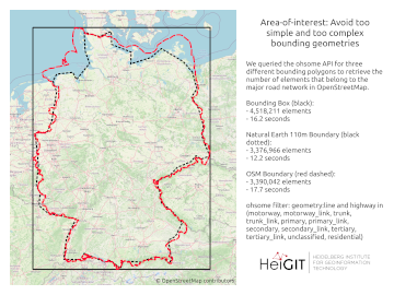
A basic guide to OSM data filtering
Working with OpenStreetMap data is an exciting topic that often reveals astonishing insights. The free and open nature of the project allows a plethora of analyses topics. We at HeiGIT often concentrate on global quantitative analyses and visualisations powered by … Read More
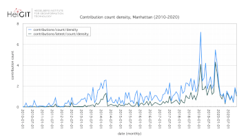
How to become ohsome part 11 – counting contributions
Hello and welcome back to the How to become ohsome-blog series! We hope the new year started off well for you! If you’re new to the series, you should read our other posts in the series, as well as the … Read More

Job Offer – Senior Science Manager
Do you want to use your management and research expertise for the benefit of society and the environment? Do you want to support HeiGIT to improve the availability and quality of geodata and to further develop geoinformatics methods that are … Read More

