The OpenStreetMap History Database (OSHDB) is what powers most of the functionality of HeiGIT’s ohsome platform. The ohsome API for example, which was often showcased here in the blog, is built on top of the OSHDB. Just recently, an open … Read More
English
How to become ohsome part 4: handling a snake in a notebook on another planet
Welcome back to a new episode of how to become ohsome. Yes, you’ve read the heading correctly. We are really talking about a snake in a notebook on another planet. If you are familiar with one of the most used … Read More
openrouteservice Io is here!
openrouteservice Io is here! The openrouteservice from HeiGIT has just had its latest update, and we want to introduce you to Io (version 5.0). This new version brings something that has been a while in the making and will make … Read More
Global analyses are ohsome
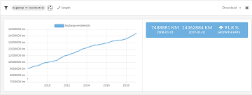
We, the Big Spatial Data Analytics Group at HeiGIT have ohsome news to share: From now on, you can send your requests to our global ohsome API instance. So far, we’ve had a public instance for Nepal and Germany, but … Read More
Analysing semantic associations in VGI data
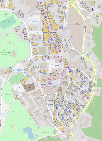
Volunteered Geographic Information (VGI) such as OpenStreetMap (OSM) can be a rich resource for many applications. Therefor VGI-projects have to mitigate between the requirements of the the volunteers and the machines. On the one hand, the data format should be … Read More
Addressing the challenge of localizing SDGs with openrouteservice
Where is the next health center? What areas show less accessibility to health centers and are therefore the most vulnerable? In 2018, the openrouteservice team already illustrated how these questions related to vulnerability can be addressed with openrouteservice APIs, at … Read More
New OpenRouteService QGIS Plugin
Finally there is a new version of the QGIS plugin for OpenRouteService: ORS Tools. It gives easy access to our directions, isochrone and matrix API’s from within QGIS. The old plugin OSM Tools plugin has been deprecated due to its … Read More
Using Openrouteservice in the data science platform alteryx
You can also use Openrouteservice via the self-service data analytics plattform alteryx, when you are a user of that data science product. Pablo Sáenz de Tejada (The Information Lab) has shared some macros on the alteryx public gallery using the … Read More
How to become ohsome part 3: Identifying different mapping schemes
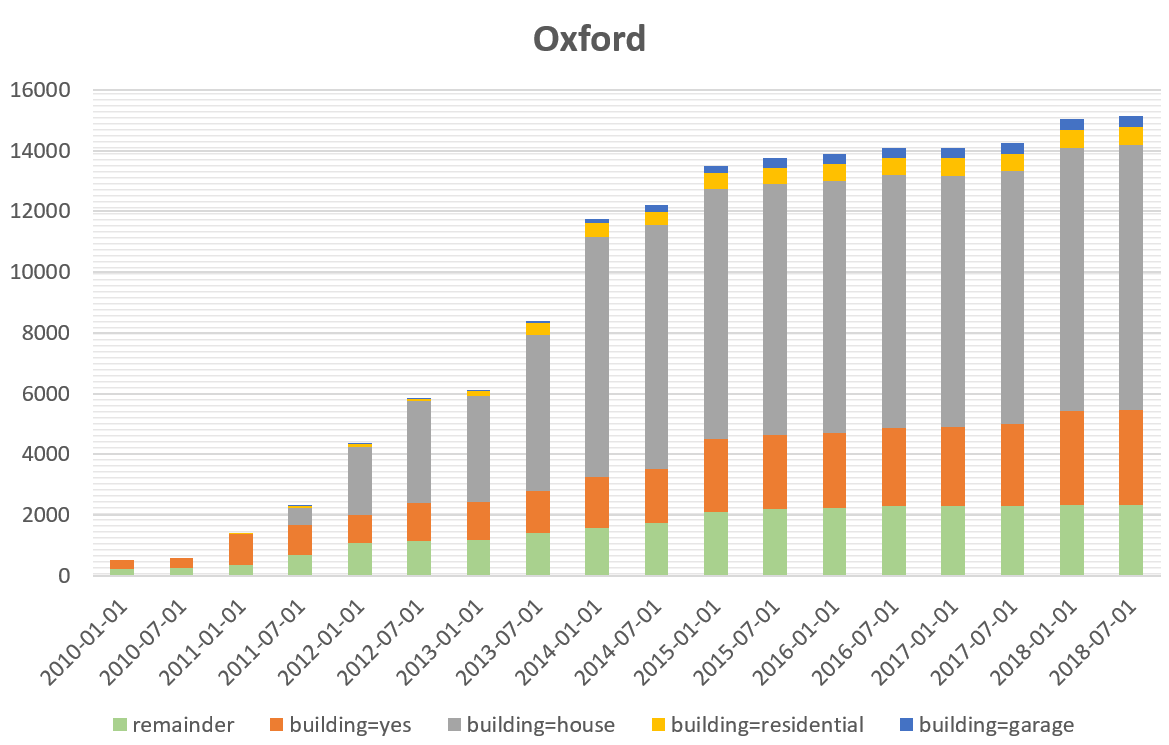
This is your first blog of the ohsome series? Before you might be confronted with any potential spoilers, you should better check out the first and the second part of this blog series (or the intro to the idea and … Read More
How to become ohsome part 2: Comparing different regions based on their attributive completeness of OSM data
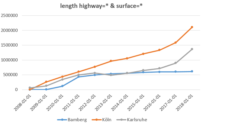
Welcome back to the second part of the blog series how to become ohsome. If you have not read the first part yet, better go and check it out now. It explains how you can create an ohsome visualization of … Read More
Road access restriction information in openrouteservice
The new year started in the openrouteservice team at HeiGIT with the release of openrouteservice 4.7.2. In this release there were a number of bug fixes, but also some new features. The main one of these is the inclusion of … Read More
openrouteservice-js – your JS library for spatial node applications!
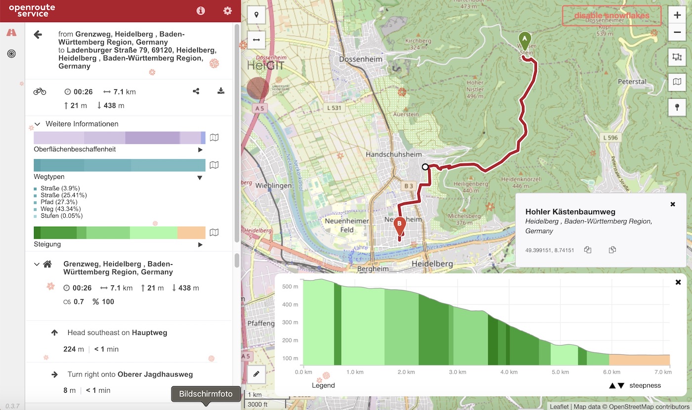
In addition to our previously released and highly appreciated python and R libraries we now offer an additional JavaScript API making the usage of the openrouteservice ecosystem covering the entire globe based on OpenStreetMap in your web applications terribly simple. … Read More
How to become ohsome part 1: Visualizing the historical evolution of OSM buildings of your city
This blog post is the start of a series of posts, which describe what you are able to do using the ohsome framework developed at the Heidelberg Institute of Geoinformation Technology (HeiGIT). OpenStreetMap (OSM), the biggest open map of our … Read More
Conceptual compliance analysis with the OSHDB, Part 2
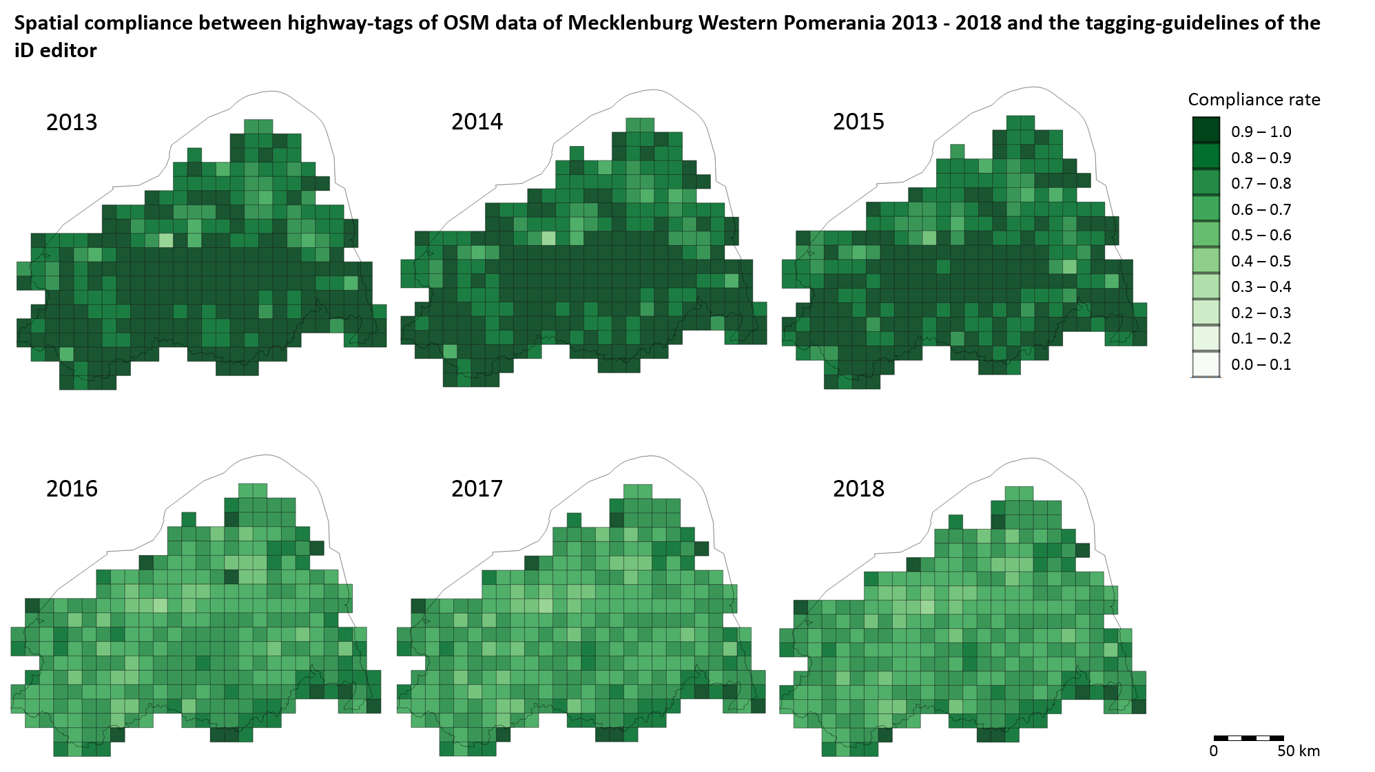
In a previous blog post we performed a conceptual compliance analysis between OSM data and several tagging-guidelines using the OSHDB API. The results were visualized in a linechart, comparing the different compliance ratio over several months. In this post we explain … Read More
Spatial conceptual compliance analysis with the OpenStreetMap History Database (OSHDB)
In a previous blog post we performed a conceptual compliance analysis between OSM data and several tagging-guidelines using the OSHDB API. The results were visualized in a line chart, comparing the different compliance ratio over several months. The following analysis … Read More
Conceptual compliance analysis with the OSHDB, Part 1
Conceptual compliance measures to what degree contributors of volunteered geographic information (VGI) are using proposed tagging-standards. Here, we look into OpenStreetMap (OSM) as the most well-known example for VGI. In OSM the most important tagging-guideline is defined by its wiki. … Read More
Conceptual compliance analysis with the OpenStreetMap History Database (OSHDB)
Conceptual compliance measures to what degree contributors of volunteered geographic information (VGI) are using proposed tagging-standards. Here, we look into OpenStreetMap (OSM) as the most well-known example for VGI. In OSM the most important tagging guideline is defined by its … Read More
Generating Customized Pleasant Pedestrian Routes Based on OpenStreetMap Data
In a newly published open access paper, we present a system that generates customized pedestrian routes entirely based on data from OpenStreetMap (OSM). The system enables users to define to what extent they would like the route to have green … Read More
Explore the ohsome OSM History of whole Germany
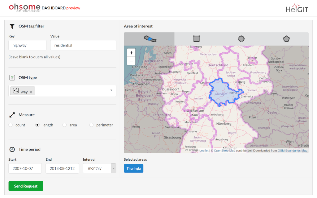
Our new ohsome dashboard is another preview on what is and will be possible with our ohsome OpenStreetMap history analytics platform. Behind the scenes, we added support for the Apache Ignite big data framework and deployed an instance using the … Read More
Jupyter Notebook: Combining Twitter Data and OpenRouteService Directions API
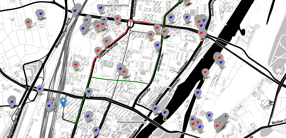
In the case of a disaster fast response is important and life saving. Information on blocked streets is crucial, but a the same time this infornations needs to be considered by routing engines in real-time. However, many routing engines use … Read More
