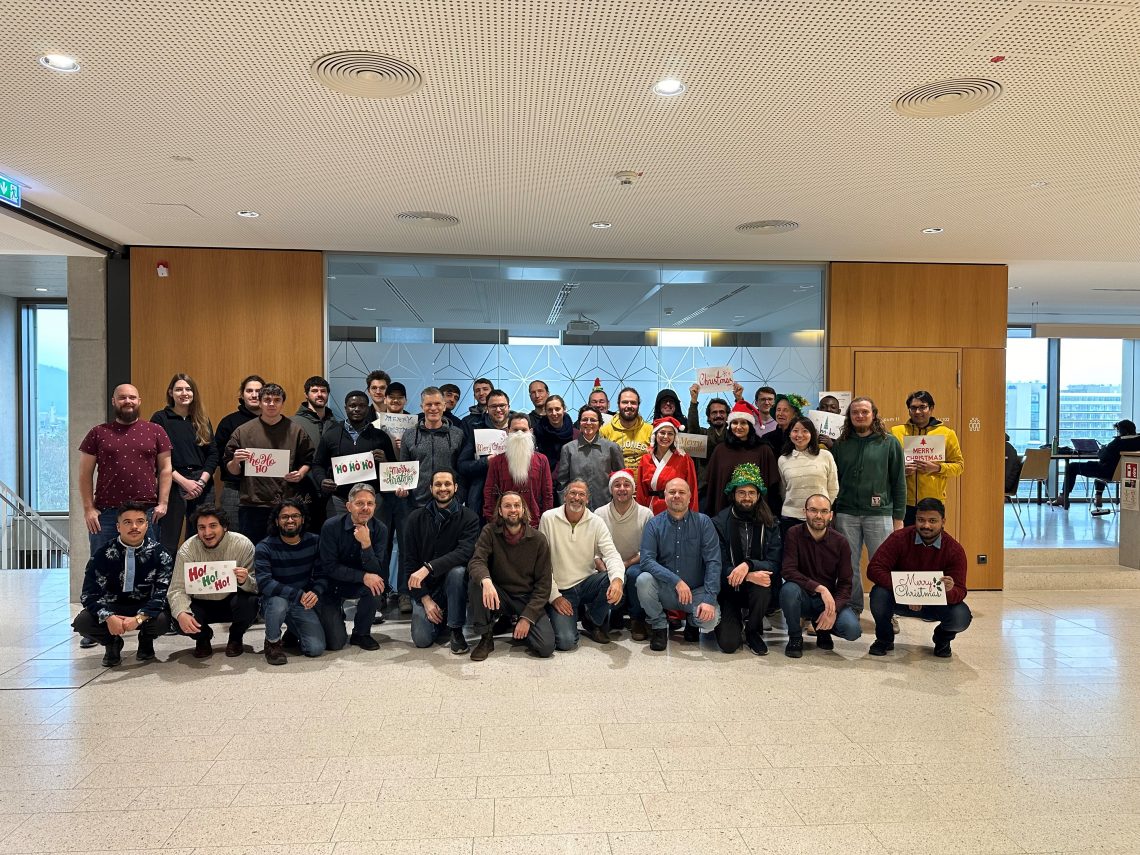
As 2023 is coming to an end, we would like to take the opportunity to look back at this eventful year and appreciate the advance that HeiGIT has made towards its goal of enabling and improving the transfer of knowledge and technology. Thanks to the collective efforts of each team member and the GIScience community, HeiGIT products and services have been constantly improved and great research results have been achieved. This year, we have also been granted many opportunities to send team members across the world, in order to meet communities, work with people on site and engage in mutual learning and sharing of information.
Before we look at the milestones that HeiGIT has achieved in 2023, we would like to express our deepest and sincerest gratitude towards all helpers and project partners, all friends and families and most importantly all HeiGIT team members who made all of this possible. Here’s to you and to a successful upcoming year!
- January: The first highlight of 2023 was the releas of the OpenStreetMap History Data Base (OSHDB) version 1.0. It’s development began in 2016 and 2023 marks the year in which the OSHDB turned from a prototype into a professional application for the analysis of OpenStreetMap’s full-history data. Click here for more information about the OSHDB.
- February: Allthough we would like to mostly celebrate our milestones here, we cannot disregard the negative events that have happened in 2023, since humanitarian aid and disaster management belong to the focus areas of our work. When a 7.7 magnitude earthquake struck southern Türkiye on February 6, our immediate response was to set up a local instance of the disaster openrouteservice in an effort to support on site humanitarian work. On a more positive note, this month also marks the launch of the SketchMapTool, a tool for participatory mapping and digitalization of paper maps. Here you can find more information about its functions and cases where SketchMapTool was used.
- March: This month, the UndercoverEisAgenten team released a new application for mapping and monitoring permafrost thaw, a critical factor of global warming. The app enables everyone with online access to partake in the UndercoverEisAgenten project.
- April: In April 2023, two papers written by or in collaboration with HeiGIT members were published. One paper is about assessing completeness of OpenStreetMap Building footprints using MapSwipe. The researchers sought to adress the problem of incomplete exposure and vulnerability models to asssess the threat of natural hazards. The other paper is about using open data to estimate greenhouse gas emissions of private vehicles.
- May: Beginning May 20, 2023, Professor Wenwen Li from the Arizona State University (ASU) taught at the Heidelberg University for two months, where she organized several courses at the Department of Geography. Professor Li has pioneered the field of Artificial Intelligence (AI) and made a name for herself in the field of GIScience with her expertise, multiple projects, grants, and awards. She is currently leading several US National Science Foundation (NSF)-funded research projects to use AI to monitor changes in our natural environment and to better understand climate change and its impacts in different parts of the world. We would like to thank Professor Li for her work at the department.
- June: In June 2023 a new app for identifying invasive mosquito species – Mosquito Alert – was released as part of a case study to which Prof. Dr. Alexander Zipf and Charlie Hatfield from HeiGIT contributed with their expertise on participatory science and the importance of geoinformation and crowdsourcing.
- July: On July 6, 2023, HeiGIT’s Benjamin Herfort et al. had an article published in the renowed Nature Communications journal. In their article, they address the uneven distribution of OpenStreetMap data worldwide, which can have an impact on research results and humanitarian operations. They provide solutions on how experts can better deal with such data gaps and provide analyses on the completeness of building data in 13,189 cities worldwide. Another big step that HeiGIT took in this month was to implement the Climate Action Platform into the focus of our work. This platform is a means to actively engage with the problem of the Climate Crisis, enabling researchers and stakeholders to mutually exchange informations and data on the subject in order to develop climate action measures.
- August: This was the month in which we launched version 1.0 of the ohsome quality API. The ohsome quality API builds upon the ohsome API, is integrated into the ohsome dashboard and enables users to compute quality estimations of OSM data. Also released in August was a radio report from Radio Regenbogen in which Alexander Zipf spoke to campus reporter Nils Birschmann about the disaster portal. This is also a milestone for us because opportunities like this allow us to introduce our work and the importance of free open data to an audience outside of the academical context.
- September: Introducing our work to broader audiences was the main characteristic of this month. HeiGIT and GIScience members Adam Rousell, Anne Schauss, Christina Ludwig and Nir Fulman attended the 12th International Conference on Geographic Information Science in Leeds, presenting their work in the form of various workshops and papers. HeiGIT also contributed to German Congress for Geography and Young Congress for Geography 2023, where Sven Lautenbach, along with Kathrin Foshag, Johannes Fürle and Nicole Aeschbach, spoke about the HEAL project. Towards the end of the month, Alexander Zipf gave a lecture on the topic of “Climate Protection and Humanitarian Aid: Support from Geoinformatics”.
- October: During this month, continuing our endeavor to spread important information across the world, HeiGIT was present at the 11th Global Dialogue Platform on Anticipatory Humanitarian Action in Berlin and at the 4th International Land Use Symposium at CEPT University in Ahmedabad, India. Also, the SketchMapTool, which was released earlier this year, received important fundings through the German Red Cross and the German Federal Foreign Office. Those fundings enabled us to integrate new features, like satellite images as base maps or new languages, making a step forward towards better accessibility and inclusivity.
- November: Enabeling citizens of disaster prone areas to participate in the process of data collection and disaster preparation, the SketchMapTool plays an important role in the “Waterproofing Data” which was awarded the ESRC Celebrating Impact Prize 2023. Under the leadership of João Porto de Albuquerque from the University of Glasgow, researchers from Brazil, Germany and the UK worked togehter with local facilitators in Brazil to inform citizens about flooding riks, resilience and data generation, in order to prepare their communities efficiently for disasters. So far, the project has resulted in more than 410 “citizen scientists” across more than 20 Brazilian cities.
- December: Our most recent milestone was achieved by ayoung research team who put their expertise to the test at the Open Source Software for Sustainable Development Goals (OSS4SDG) Hackathon. Under the supervision of Marcel Reinmuth, PhD candidate Charles Hatfield and Student Research Assistants Maximiliane Kitzinger and Valentin Böhmer developed the app that would win them first place in their category (Development of a Collaborative Walking-Safety Map): SaferRoute. The app was designed to provide individuals with the means to make informed decisions about their routes in urban areas and to optimize their routes in terms of safety.
Now after this brief summary (too brief to do justice to each and everyone whose work has taken HeiGIT to where it is today), it is time to look forward to 2024 and the exciting new projects, experiences and milestones it has in store for us. Happy Holidays and happy new year to all of you!