The origin In 2021, HeiGIT, the GIScience Research Group, and…
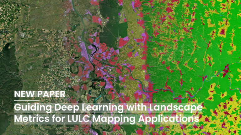
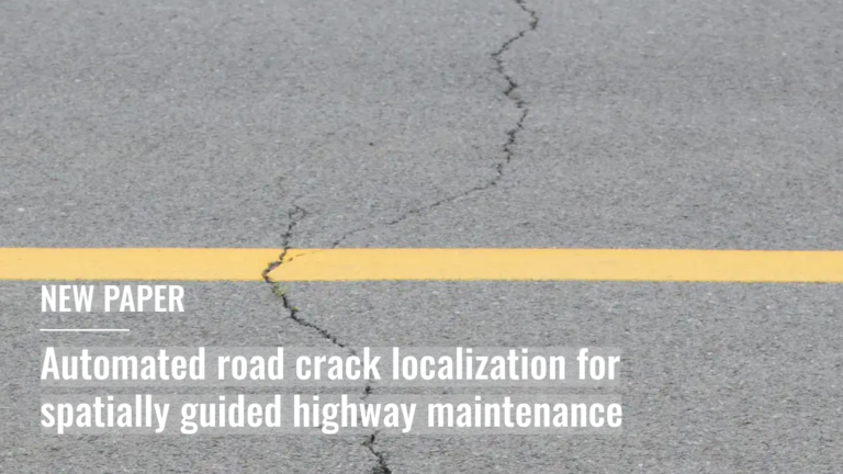
Deep Learning (DL) has become a core methodological pillar in…
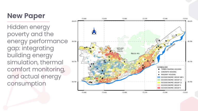
Hidden Energy Poverty (hEP) represents an underestimated form of energy…
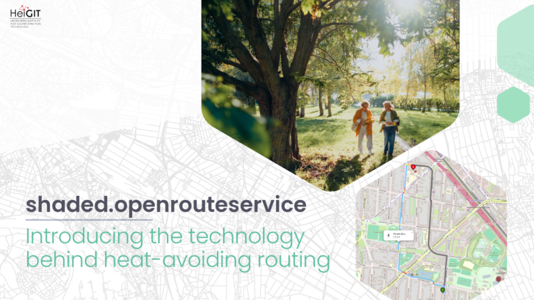
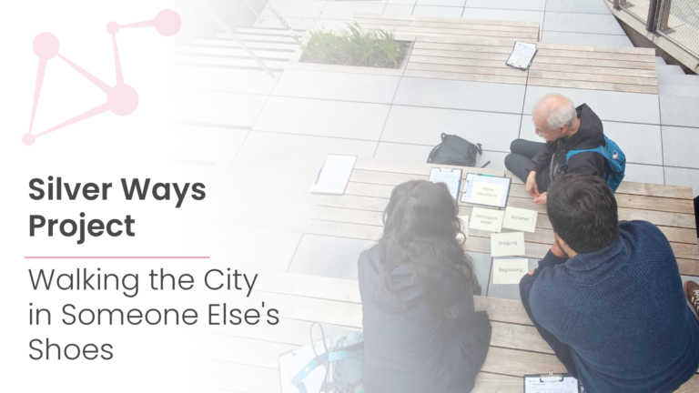
We left the office to experience the city through the…
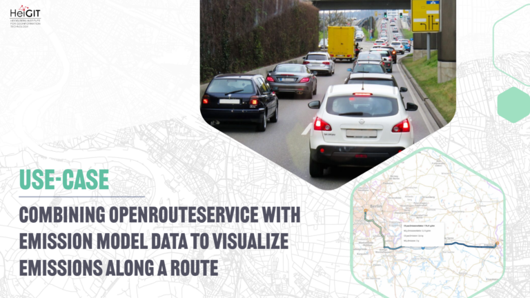
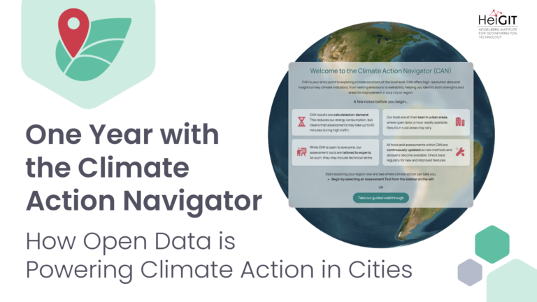
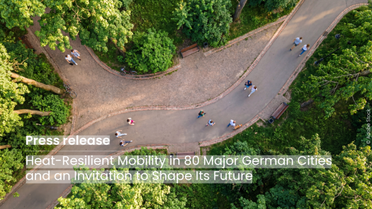
The new HeiGIT application shows how digital geodata can make…
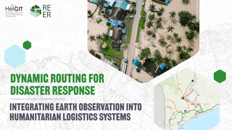
HeiGIT together with the GIScience Research Group at Heidelberg University…